
Rains moves in late. Clouds increase throughout the day.
As we continue to move through this Monday we will see clouds continue to increase throughout the day. Rain chances start to creep up very late this evening but most of the rain comes though during the overnight.
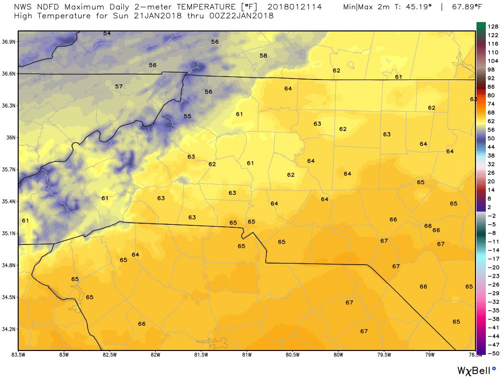
Dry today but Rain moves in for your Monday
Today is going to be a very pleasant day with sunny skies and we will see a high of around 63º
A recap of yesterday's snow storm and what to expect today
Yesterday certainly came as a shock to many of us in the fields of Meteorology and Forecasting fields as this system did something the models weren't expecting and that was slow down and almost stop. A new low developed in the system pumping in more moisture.
System showing signs of slowing down but still bringing snow
Just a quick update as we move into the evening hours. The system is showing signs of slowing down in the mountians. That does impact a few things for us. Especially the timing.
Snow chances during the overnight hours tonight going into Wednesday morning
The much anticipated time is approaching for the county as snow is on the way. I will be providing a lot of information in this blog today so please read all the way to the end.
Snow continues to be likely for late Tuesday and early Wednesday
We are now just about 36-48 hours away from seeing the chance of some snow here in the county. The models continue to show the likelihood of snow falling here in the county. They continue to disagree on how much accumulation we could see.
Latest on snow chances
As we move closer to late Tuesday & early Wednesday snow chances continue to remain in the forecast. However, I am seeing some difference in the models. There is a difference in track and possible accumulation between the models.
Snow showers possible late Tuesday and Early Wednesday
In last nights 5 day forecast I gave us a 30% chance of seeing some snow Tuesday night and into the overnight hours on Wednesday. The models are continuing to show those chances this morning..
Thunderstorms and gusty winds possible later this afternoon and evening
Good Friday Morning! As we begin to enter the weekend we will do so with a bang as thunderstorms are likely this afternoon and evening. The worst part may come during the evening commute. The Storms Prediction Center has us under a General Thunderstorm Risk.
Rain picks up throughout the day to setup a wet Friday
We are in store for rainfall around the county today. Showers will be light and mainly drizzle for most of they day with more moderate rainfall moving into the county later this evening around 7pm.

Announcements & Events
Check back often for important announcements and events that I'll be involved in!
