
Thunderstorms and gusty winds possible later this afternoon and evening
Good Friday Morning! As we begin to enter the weekend we will do so with a bang as thunderstorms are likely this afternoon and evening. The worst part may come during the evening commute. The Storms Prediction Center has us under a General Thunderstorm Risk.

We will see rain start to pick up in the county around the 4pm hour and as we move into the early evening hours we will likely see some thunderstorms develop
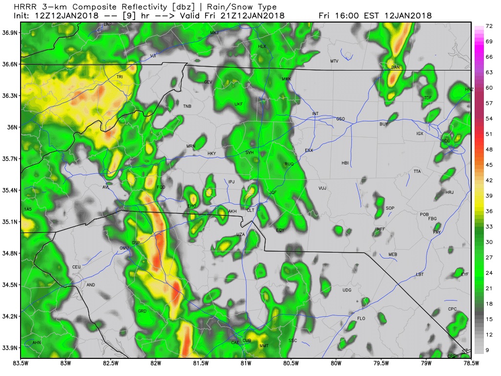
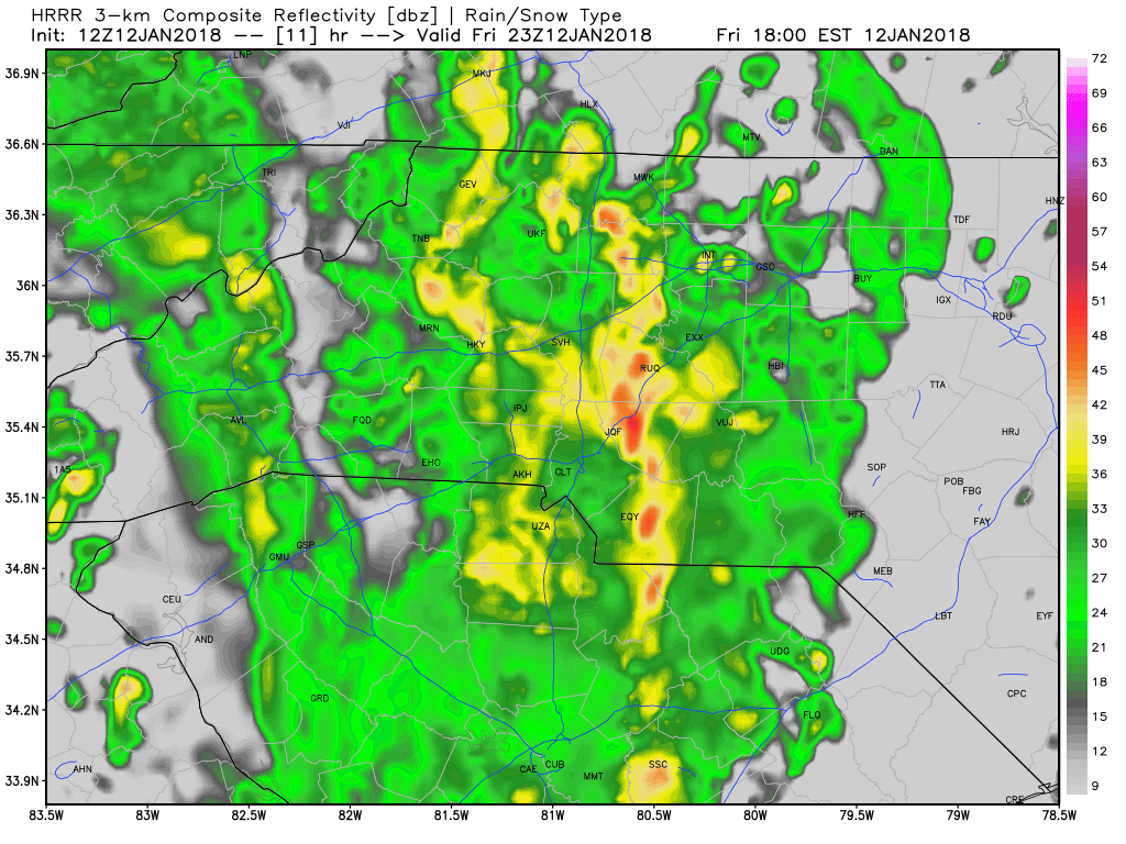
We will see our best chance for thunderstorms between 5 & 7 pm this evening. Localized flooding is possible with the ground being as dry as it is right now. The only other concern I have is the winds will be gusty. I think our wind damage threat is low but it will certainly bear watching as these storms approach and move through the county. No concern for tornadoes or hail at this point.
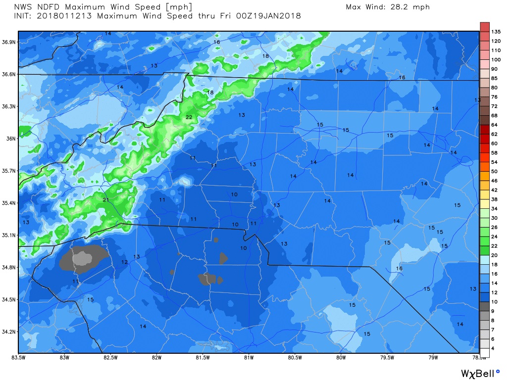
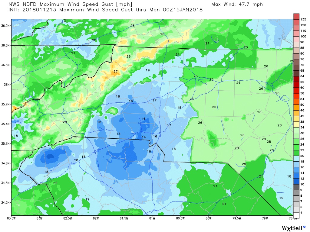
We will see sustained winds during these storms at around 15 miles per hour. Gust could reach around 20 miles per hour. Again a low threat for damaging winds but it does bear watching. To reiterate no concern for tornadoes or hail at this point.
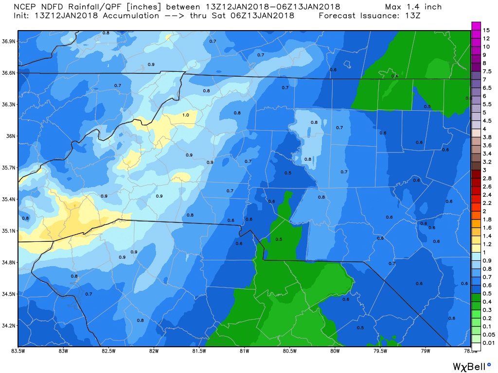
Looking for accumulations around the county of around a half of an inch to around an inch with the showers and storms that move through today and this evening.
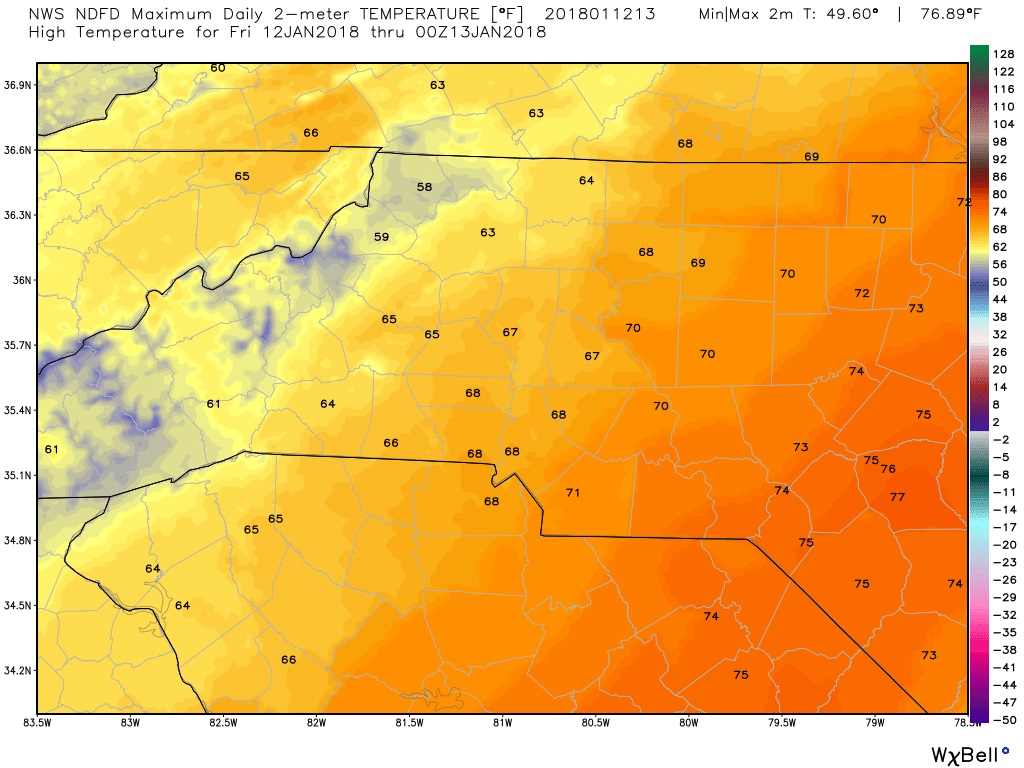
We will see a high temperature today of around 67º
The low this evening will be down to around 39º as the storms pull away and the cold front takes over. Setting the stage for a cold period once again as we move into the weekend and next week.

I will of course provide updates right here and on social media throughout the day and evening as showers and storms move through the county and the area. As always thank you for following Rowan County Weather!