
Snow showers possible late Tuesday and Early Wednesday
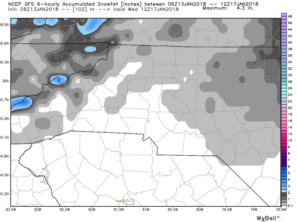
In last nights 5 day forecast I gave us a 30% chance of seeing some snow Tuesday night and into the overnight hours on Wednesday. The models are continuing to show those chances this morning.. The one key factor in the models is they are both in pretty close agreement that we may only see a trace to about a tenth of an inch. This of course is something I will monitor over the next few days as we close in on Tuesday evening.
The GFS model data below shows how snow move into the county late Tuesday and will be moving through the county through at least 1 to 3 AM Wednesday morning.
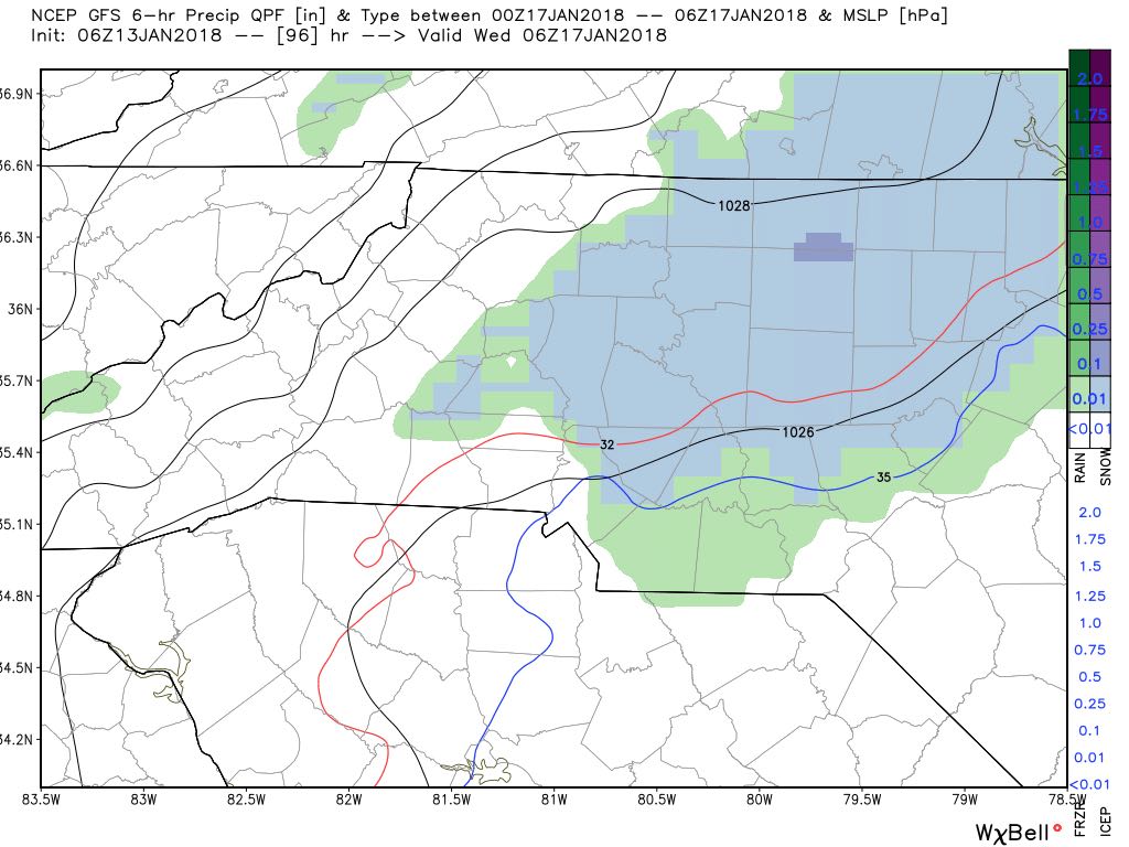
As far as accumulation the GFS model is only showing around a trace in terms of accumulation.
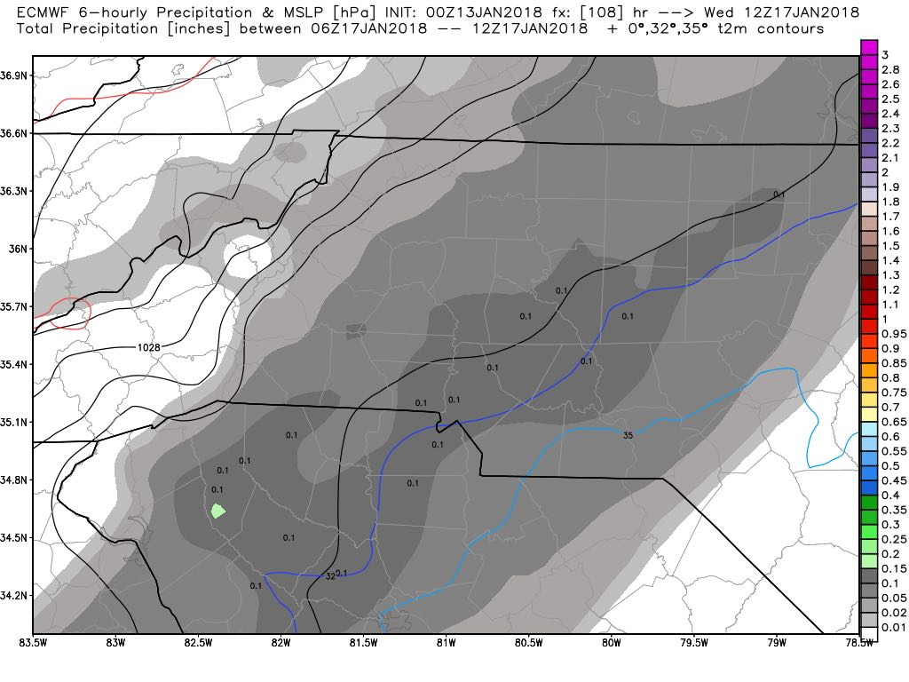
The European Model is always a little more aggressive with accumulation but in this particular run its not that aggressive. Again showing snow moving in late Tuesday and moving our of the county sometime between 1 & 3 AM. Accumulations of around a tenth of an inch with the Euro
As we get closer to the event if the data holds and the threat for snow continues I will provide updates and will begin to give my predicted accumulation totals. As of right now for you snow lovers the chances are still there for some snow to fall in Rowan County next week. As always thank you for following Rowan County Weather!