


Severe Weather Moving into the county later
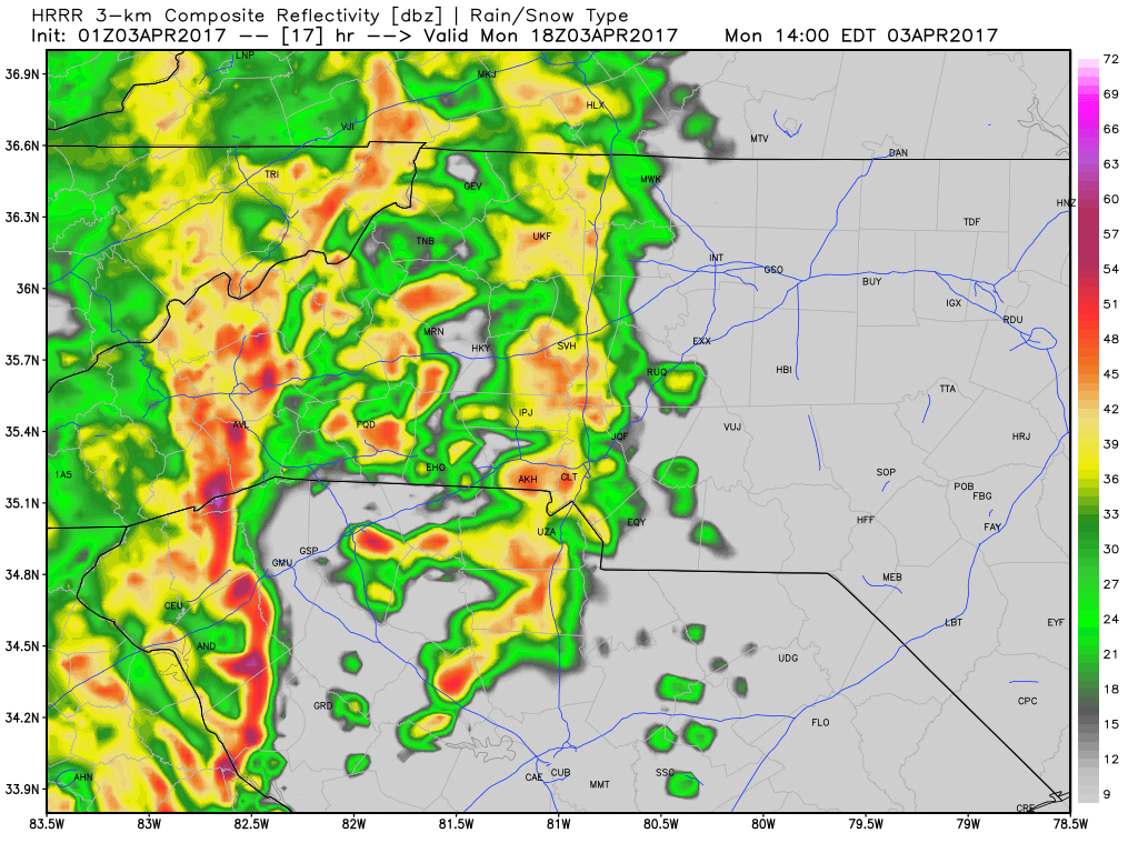
I gave you an update late last night about the chance for severe weather in the county today. The models continue to trend that direction. The timing for these storms to arrive is around 2 - 3pm this afternoon. These storms bring with them the chance for gusty winds of 40 miles per hour or more.
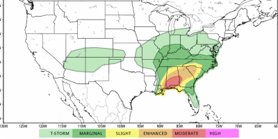
Slight Risk for Severe Weather on Monday
As we begin the work week we will see a slight risk in the area for severe weather on Monday. I am expecting storms to enter the county around 2pm Monday afternoon.

Sunshine hanging out for the weekend!
The clouds broke earlier today and the sun is shining. We will enjoy the sunshine over the entire weekend as we dry out form the rain we have had over the past few days. We will see more rain arrive next week so lets enjoy the dry time we get.
Thursday Rain Chances
Happy Thursday morning to you. It is a gloomy Thursday with rain on the way. The high today will top out at around 64º

Please take time to thank our sponsors and visit their pages
As you may or may not know. Rowan County Weather is privately funded. This is a service I pay for out of my own pocket. As we continue to move forward and I try to provide more services and information to the residents of Rowan County. I need sponsorship help.
Thunderstorm Chances Return Late Thursday
As we move through the daytime hours on Thursday we will go through a few changes. The cooler temperatures will move in along with increasing clouds. Those clouds will eventually bring scattered showers and possibly thunderstorms later Thursday evening.
Tuesday Weather Update
The skies are kind of gloomy but we should see a few breaks of sunshine today with a chance for additional isolated showers later. These showers will be very scattered and you may not even see a drop of rain where you are. The high today will be in the upper 70's to around 77º
Rainy Days & Mondays
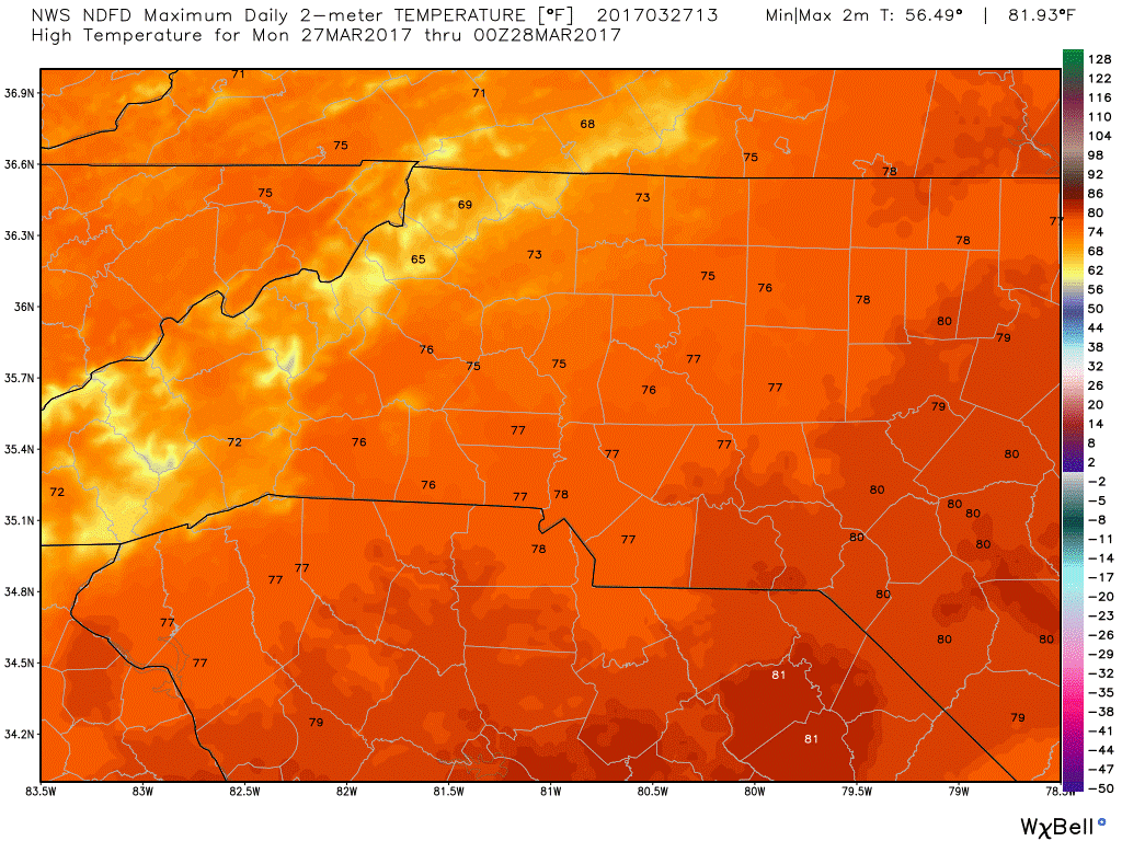
We are off to the start of another work week and there are some isolated shower and thunderstorm chances occurring for us today. The high will top out at a very spring like 76º

Weekly Road Closure Report 3/27/2017
All information listed is from the NCDOT and any closures not mentioned do not currently have an opening scheduled for 2017
Showers ad storms for Sunday looking very scattered.
The trend continues in the models for the shower and storm chances on Sunday to be very widely scattered and weak.