
The Heat is on today. A cool down is on the way
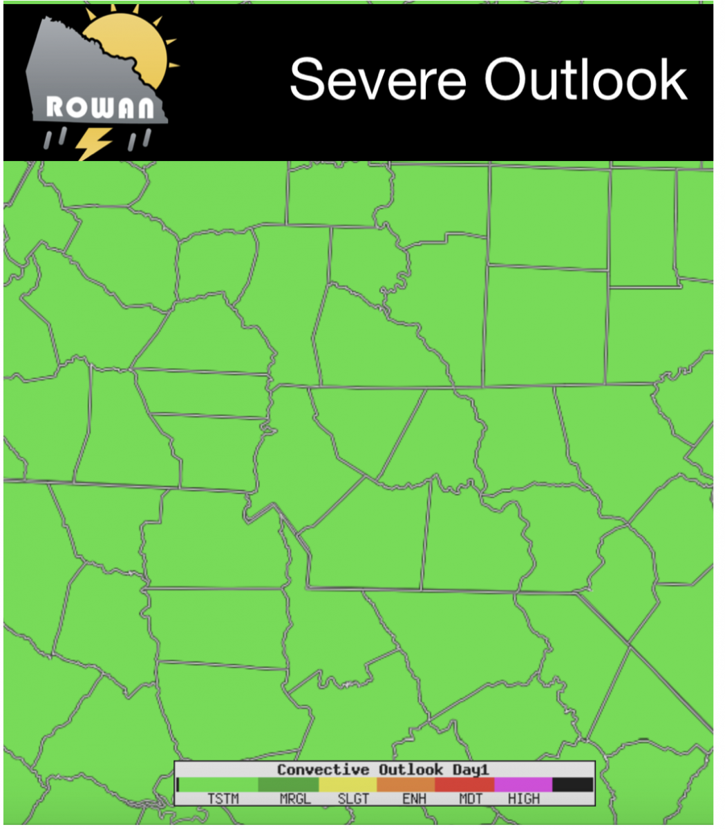
After yesterday's Eclipse the big story weather wise today is the heat. The good news is relief is on the way. More on that shortly. Let's take a look at what we have to go through first!. The Storms Prediction Center has us under a General Thunderstorm Risk for today.
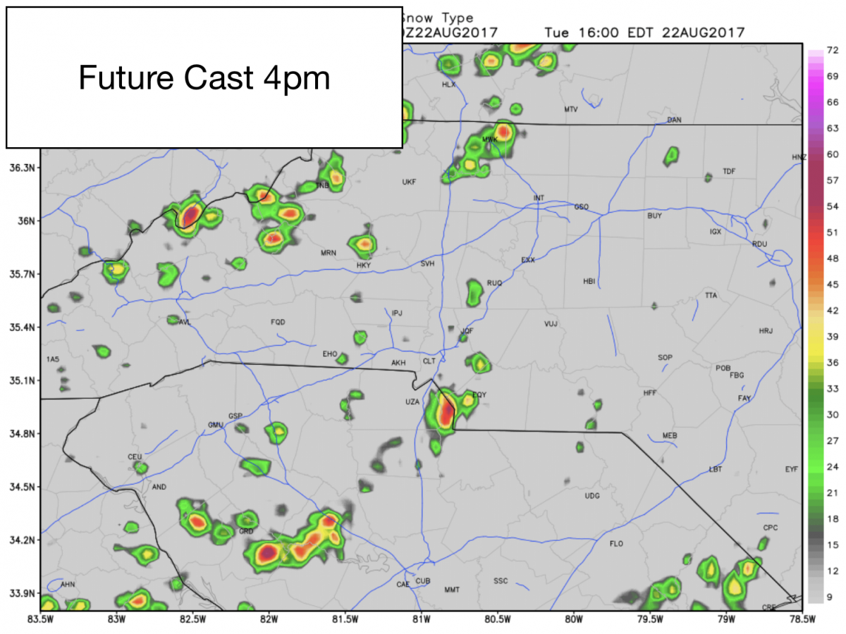
We could see some very isolated shower or thunderstorm activity in the county later this afternoon and evening but the chances are low and scattered. The Future Cast shows rain in the county around 4pm today.
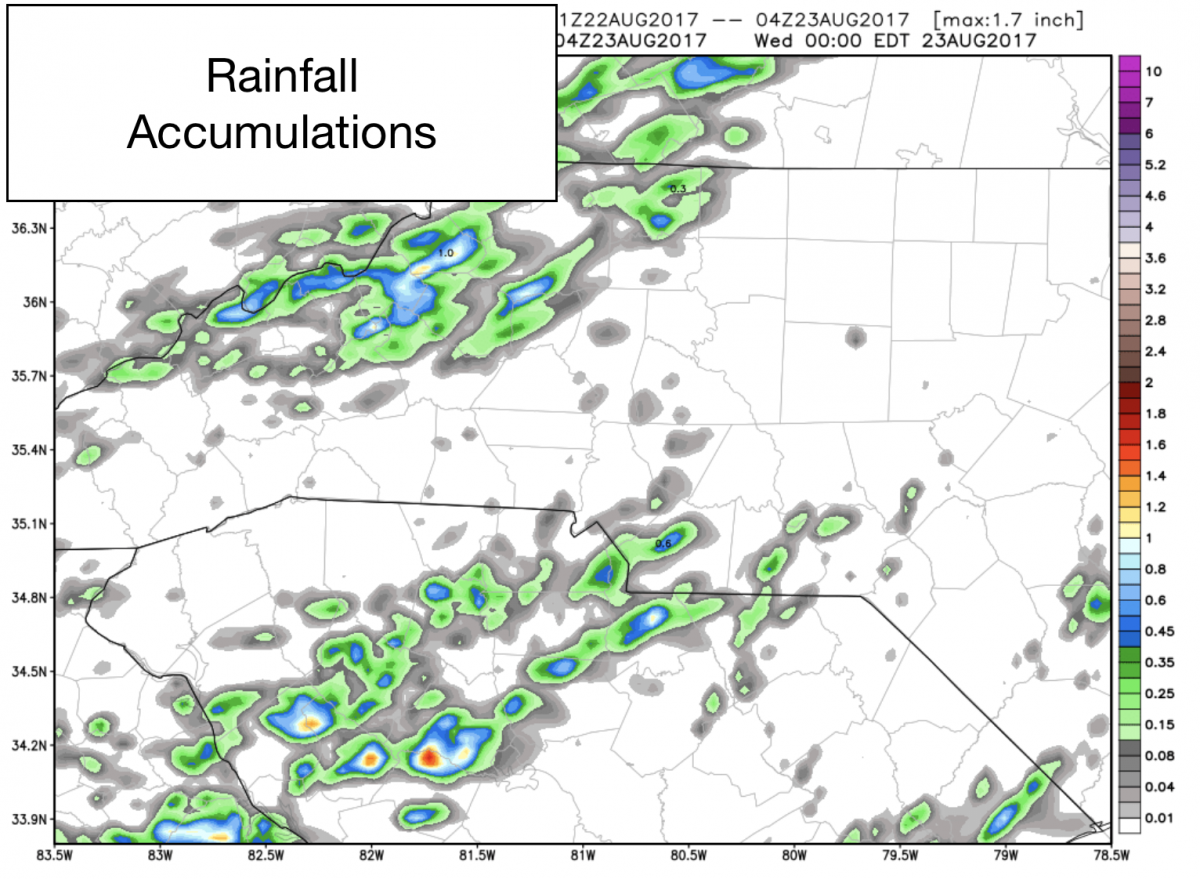
Accumulations look to be very light as well with only around a trace of accumulation likely. Again any rain we get looks to be very isolated and scattered.
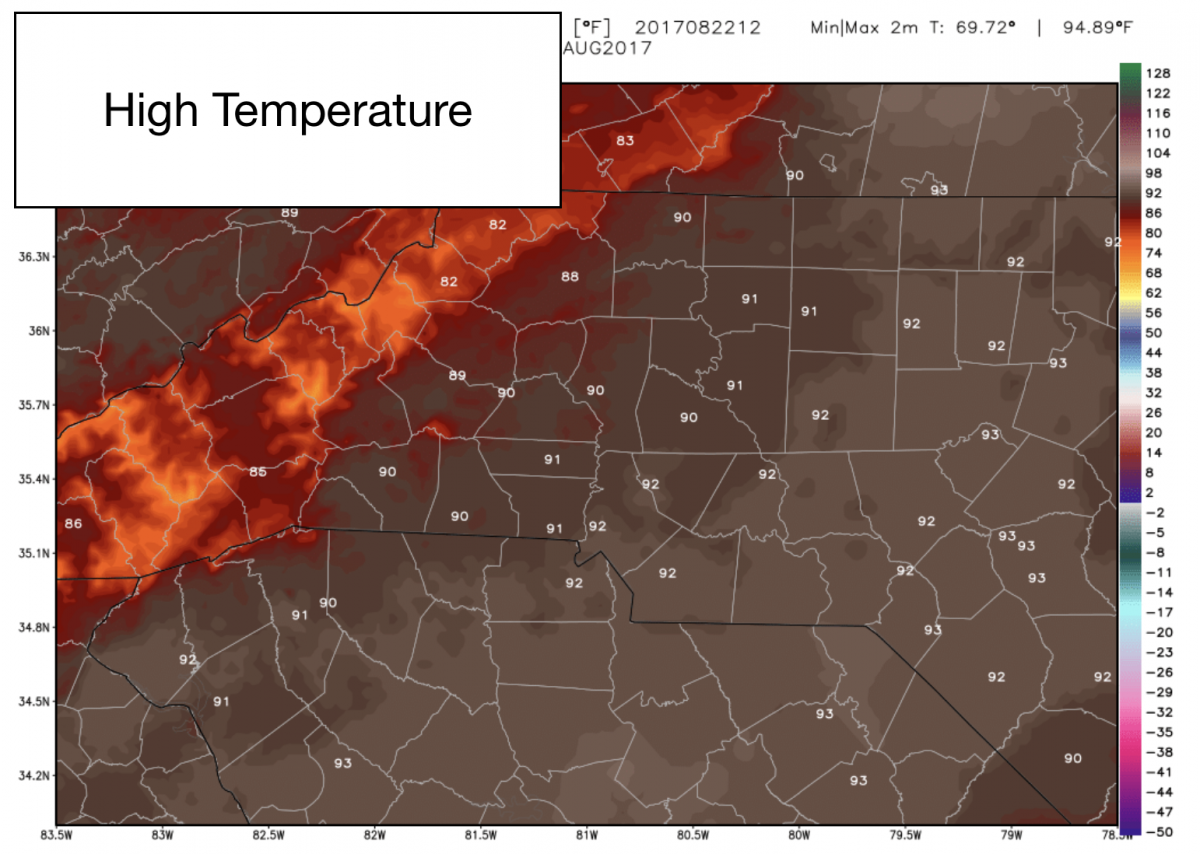
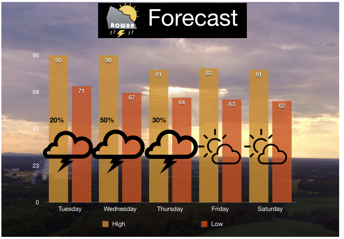
As I mentioned at the beginning of this blog. The real story today will be the heat. We will see a high of around 90º today as the sun makes up for the brief interruption form the Eclipse yesterday.
The good news is there is a cool down on the way. We just have to ride out the next 36-48 hours and things start to improve for us, Look at the low 80's coming up for the weekend. We could even see some upper 70's to start off the School year as we move into next week.
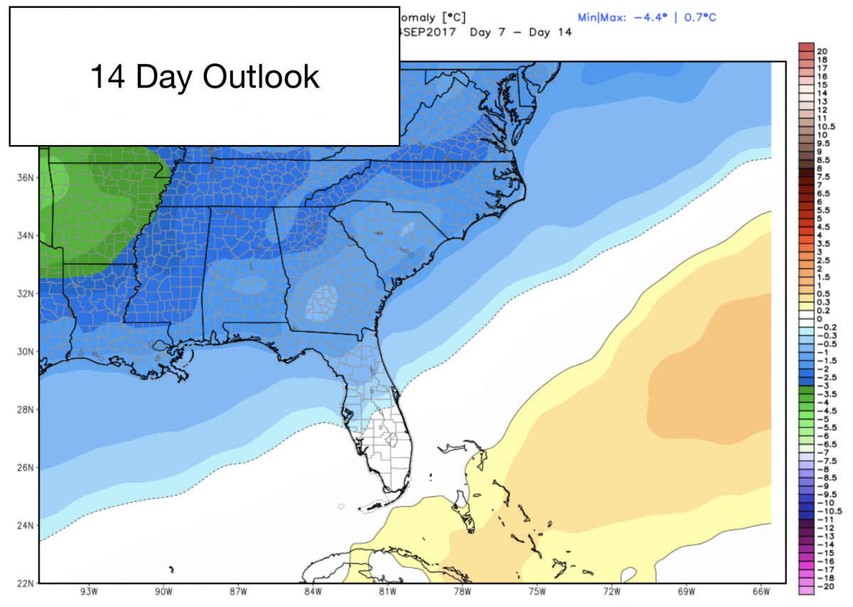
The Long Range Models show us looking to remain below average for temperatures over the next 10-14 days. So least take advantage of the cool down and hopefully get a little taste of the fall season.
I will keep you updated throughout the day right here and on social media. As always thank you for following Rowan County Weather!