

General Thunderstorm Risk and one more day of Heat!
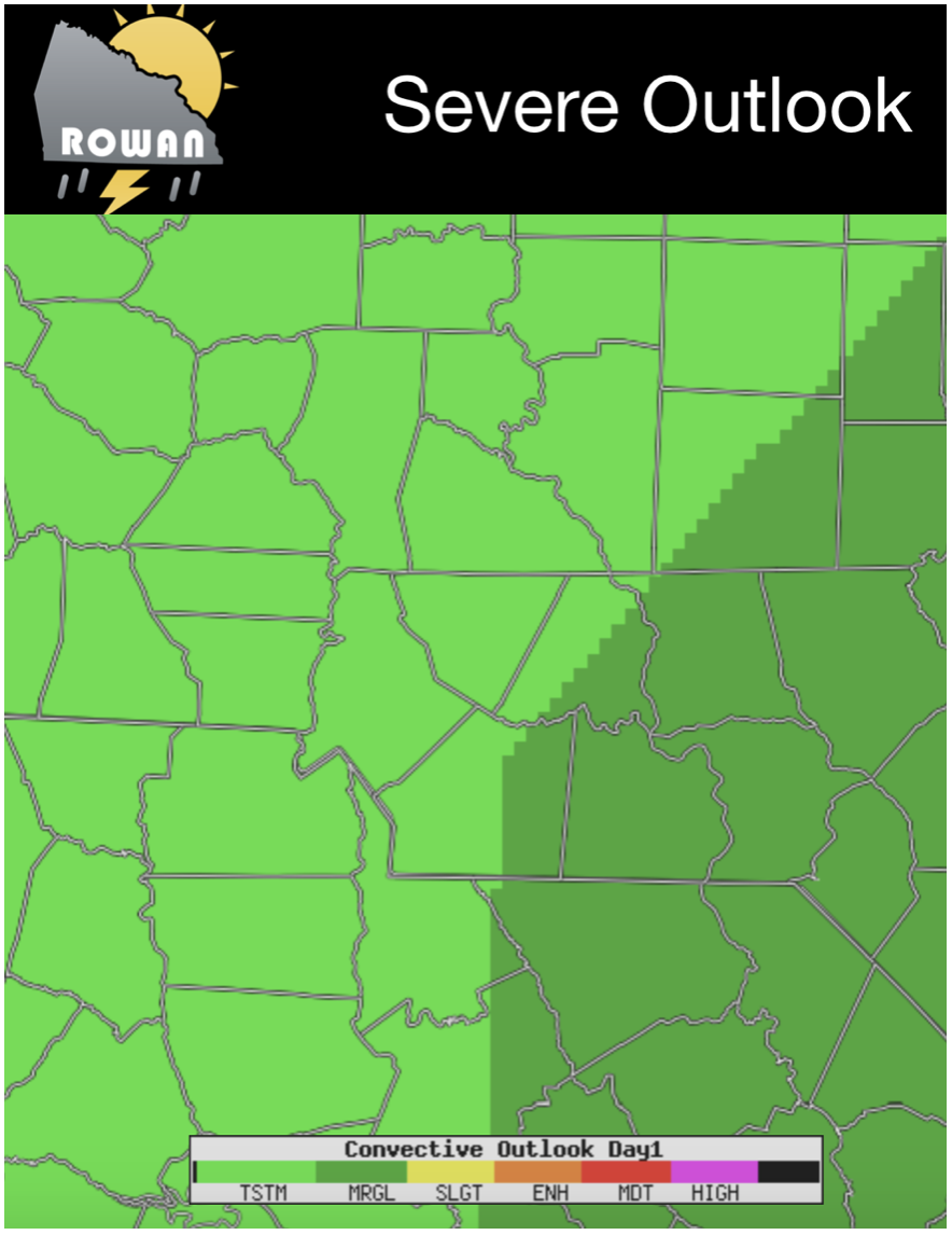
We are working on our last day of 90º weather at least for the near term. We have a cool down that will start making its way into the county later this evening. The cold front bringing this cool down will bring the chance of showers and storms along with it. They appear to be an isolated threat at this point. The Storms Prediction Center has us under a General Thunderstorm Risk for today. I will keep an eye on that as the Marginal Risk for Severe Weather is just to our south and east.
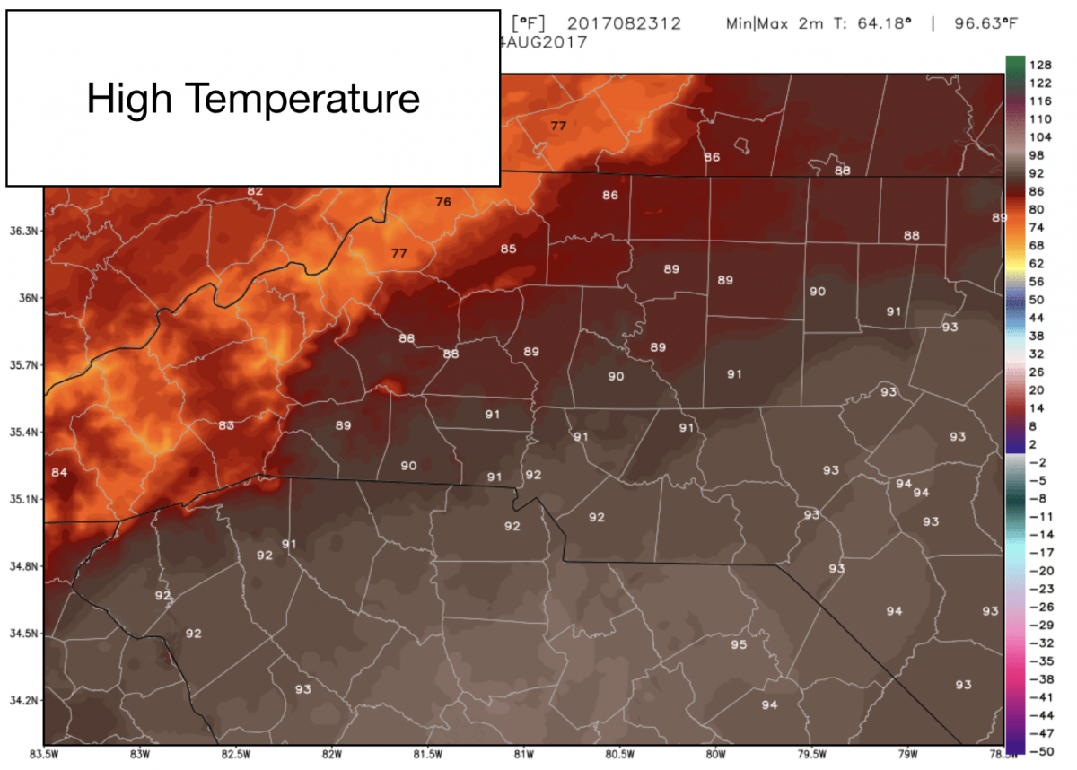
We will see what appears to be our last 90º day at least for the near term today. The good news is as the cold front makes its way in we will see the humidity and temperatures begin to drop in and around the county.
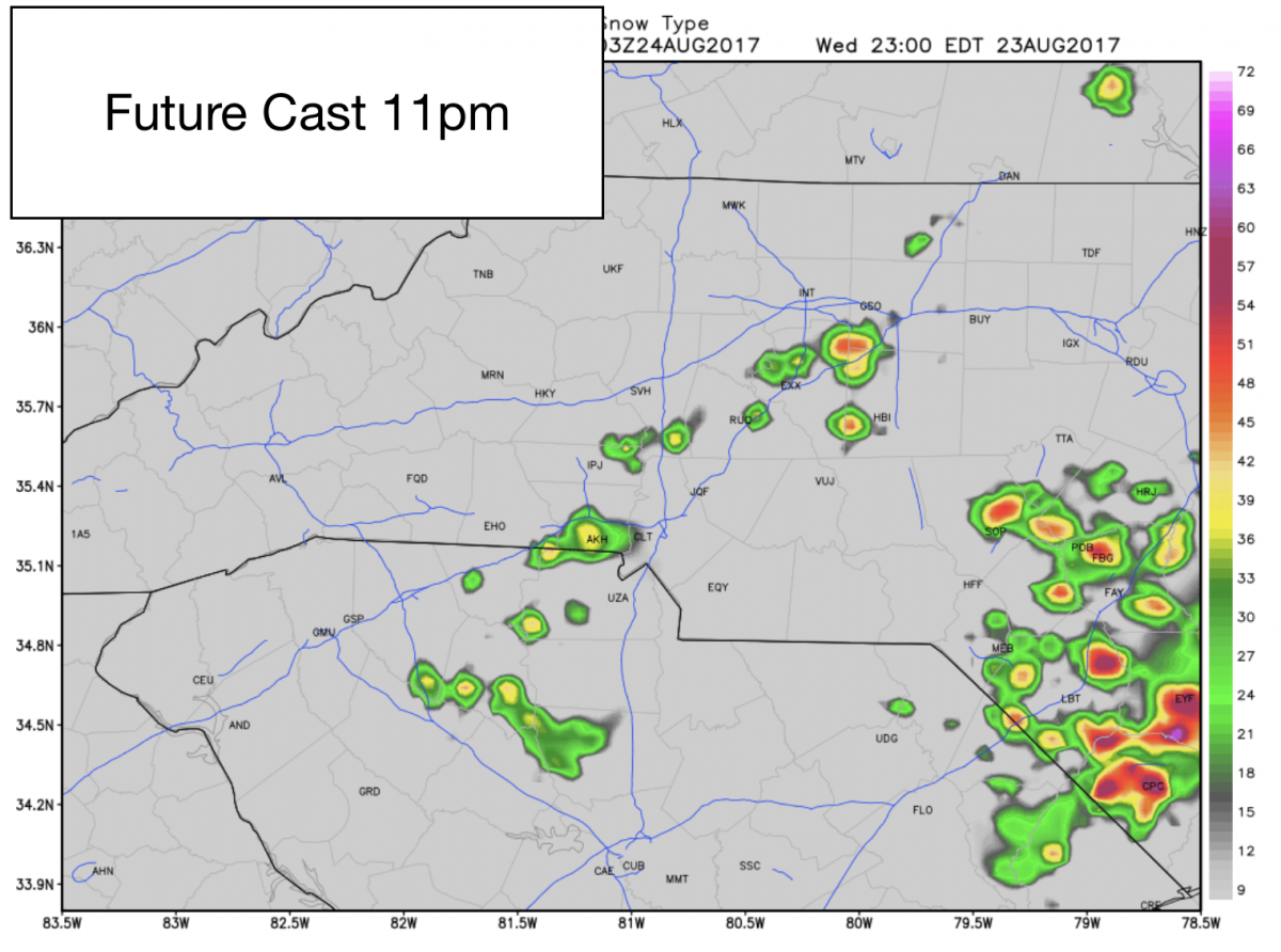
The Future Cast has our best chance of isolated showers and thunderstorms moving in late this evening.. Again the severe threat is not really there so these for now appear to be your typical Garden Variety Thunderstorms.
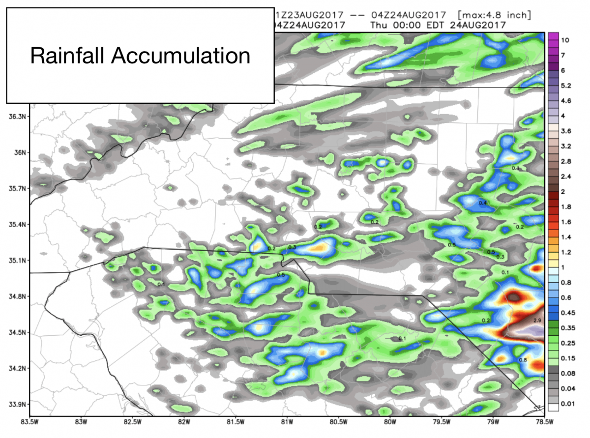
Rainfall Accumulations also look pretty light for the county. Only looking at around a trace to a quarter of an inch if you are lucky enough to get hit by one of these showers or storms late this evening.
I will of course keep you updated right here and on social media throughout the day. As always thank you for following Rowan County Weather!