




Rowan County Weather Partnering with Rowan Salisbury Schools
Last week we of course had a real taste of winter with some areas of the county seeing over 6 inches or more of snow.
Rains moves in late. Clouds increase throughout the day.
As we continue to move through this Monday we will see clouds continue to increase throughout the day. Rain chances start to creep up very late this evening but most of the rain comes though during the overnight.
Dry today but Rain moves in for your Monday
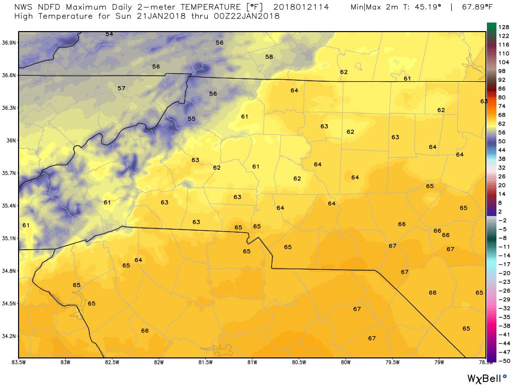
Today is going to be a very pleasant day with sunny skies and we will see a high of around 63º
A recap of yesterday's snow storm and what to expect today
Yesterday certainly came as a shock to many of us in the fields of Meteorology and Forecasting fields as this system did something the models weren't expecting and that was slow down and almost stop. A new low developed in the system pumping in more moisture.
System showing signs of slowing down but still bringing snow
Just a quick update as we move into the evening hours. The system is showing signs of slowing down in the mountians. That does impact a few things for us. Especially the timing.
Snow chances during the overnight hours tonight going into Wednesday morning
The much anticipated time is approaching for the county as snow is on the way. I will be providing a lot of information in this blog today so please read all the way to the end.
Snow continues to be likely for late Tuesday and early Wednesday
We are now just about 36-48 hours away from seeing the chance of some snow here in the county. The models continue to show the likelihood of snow falling here in the county. They continue to disagree on how much accumulation we could see.
Latest on snow chances
As we move closer to late Tuesday & early Wednesday snow chances continue to remain in the forecast. However, I am seeing some difference in the models. There is a difference in track and possible accumulation between the models.