
Porch Weather Is Here: How Long Will It Last in Rowan County?
There’s no better way to describe this week’s weather than one of your favorite phrases—porch weather.
Bus Stop Forecast – Tuesday
A cool start, but a comfortable and sunny afternoon across Rowan, Davie, and Davidson counties.
Midmorning Coffeecast
Sponsored by Willowbrook Grounds
We’re checking in late this morning under fair skies across Rowan County.
Pollen Forecast – Rowan County
Pollen levels remain HIGH across the area.
Today:
• Index: 11 (High)
• Main Allergens: Oak, Birch, Juniper
Tomorrow:
• Index: 10.3 (High)
Next Chance for Rain: Will It Actually Help Rowan County?
After several days of dry weather and minimal rainfall from recent cold fronts, many are asking the same question:
When will we see rain again — and will it actually help?
Frost Advisory Issued for Early Tuesday Morning Across North Carolina
Published: April 20, 2026 – Early Morning Update
A Frost Advisory has been issued for portions of North Carolina, including areas near Rowan, Davie, and Davidson Counties, as temperatures drop into the 30s early Tuesday morning.
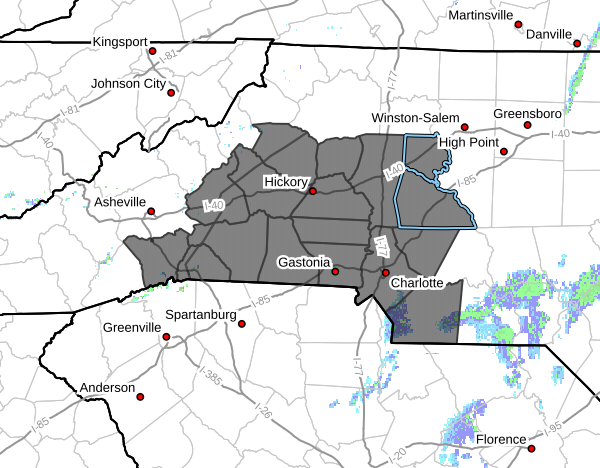
Increased Fire Danger Monday Across North Carolina
Published: April 19, 2026 – 9:30 PM
An Increased Fire Danger is in effect Monday across much of North Carolina, including Rowan, Davie, and Davidson Counties, as well as the foothills, Piedmont, and portions of western North Carolina.
Increased Fire Danger This Afternoon and Evening Across Rowan and Davie Counties
Published: April 19, 2026 – 10:47 AM
Midmorning Coffeecast
Sponsored by Willowbrook Grounds
We’re checking in late this morning under overcast skies across Rowan County.
Pollen Remains High Across Rowan County to Start the Week
Pollen levels remain very high across Rowan County today and into Monday, continuing a stretch of intense spring allergy conditions.

Announcements & Events
Check back often for important announcements and events that I'll be involved in!
