
Sunday Weather Update
The forecast today is going to be a bit tricky. We will see a cold front stall in the area. Depending on where it stalls will be key on who gets highs in the 70's and who gets highs in the low to mid 80's right here in the county.
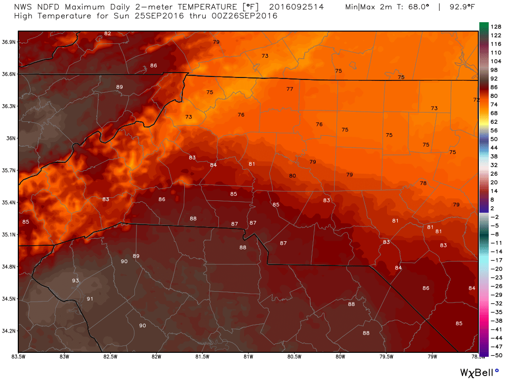
Notice in the image above how the temperatures in the northeast part of the county look to remain in the 70's today while areas in the southwest portion of the county may very likely see highs in the 80's. With that areas in the northwest portion of the county will most likely stay cloudy all day. While areas in the southwest portion of county could see periods of breaks in the clouds with sunshine.
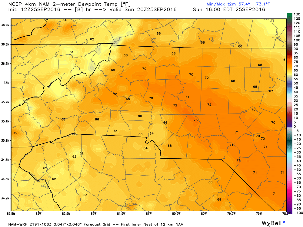
The dew points will be in the low 70's today as you can see form the image above. This will keep the outside air feeling a little oppressive
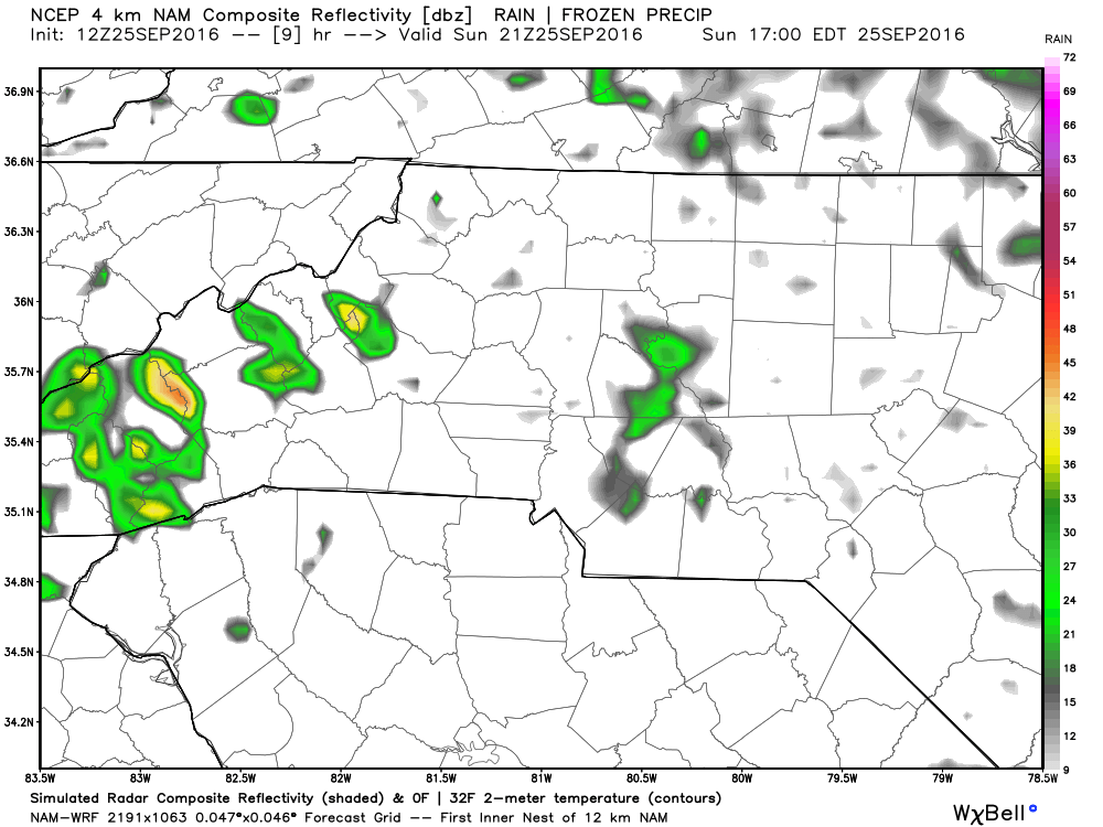
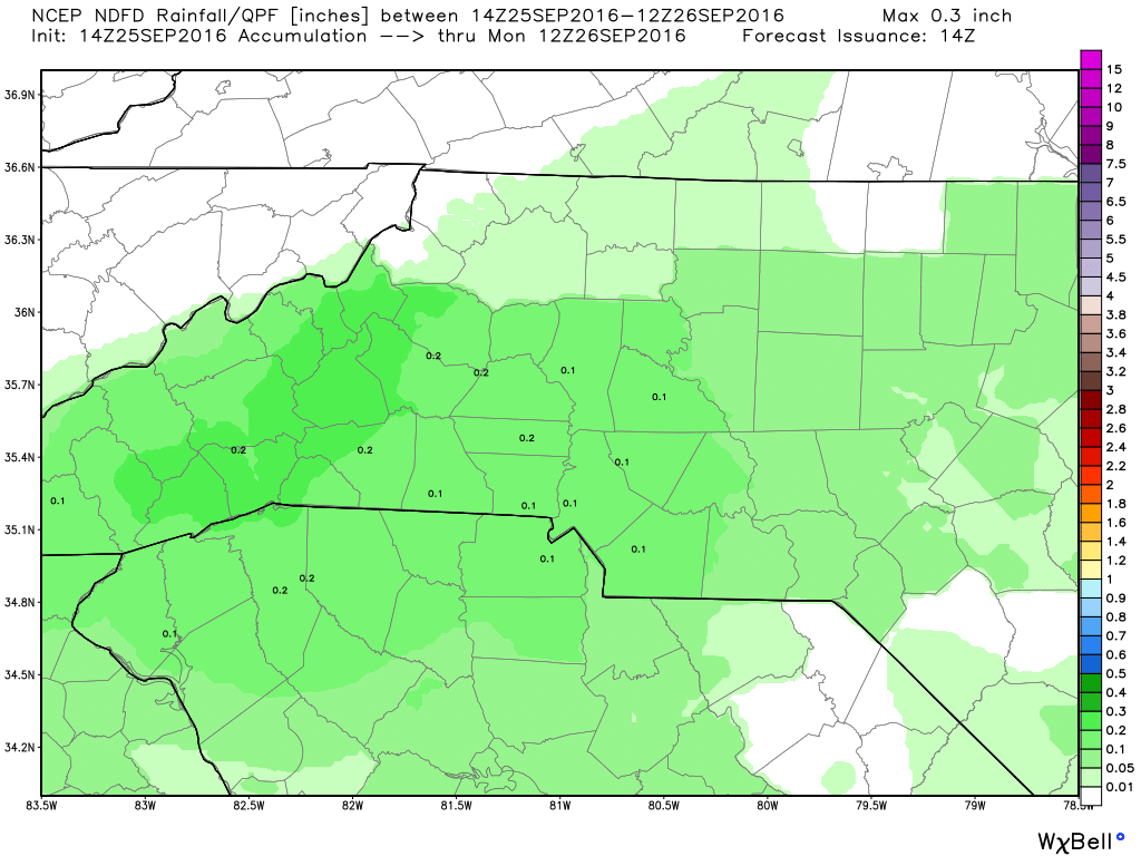
Very isolated rain chances are possible throughout the day but I would not expect much in the way of accumulation as we may only see about a tenth of an inch of again very isolated precipitation around the county.
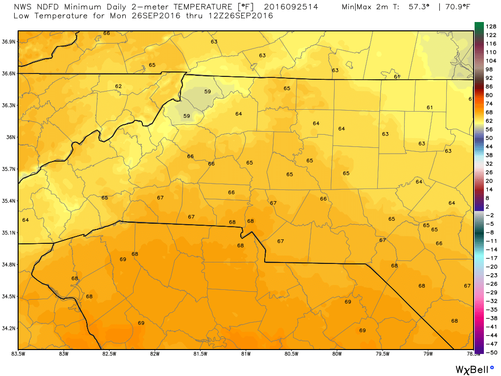
The low tonight will bottom out around 65º
I would not be surprised if areas in the northeast portion of the county gets a little closer to the 60º for the low since they may not see as much heating throughout the day.
Enjoy your Sunday everyone! As always thank you for following Rowan County Weather!