

Saturday Weather Update Severe Weather Possible again today
After last nights round of storms rolled through the county. We have to get ready for another round late this afternoon and evening around the county. Factors once again will be threats of heavy downpours, frequent lightning, small hail and damaging winds.
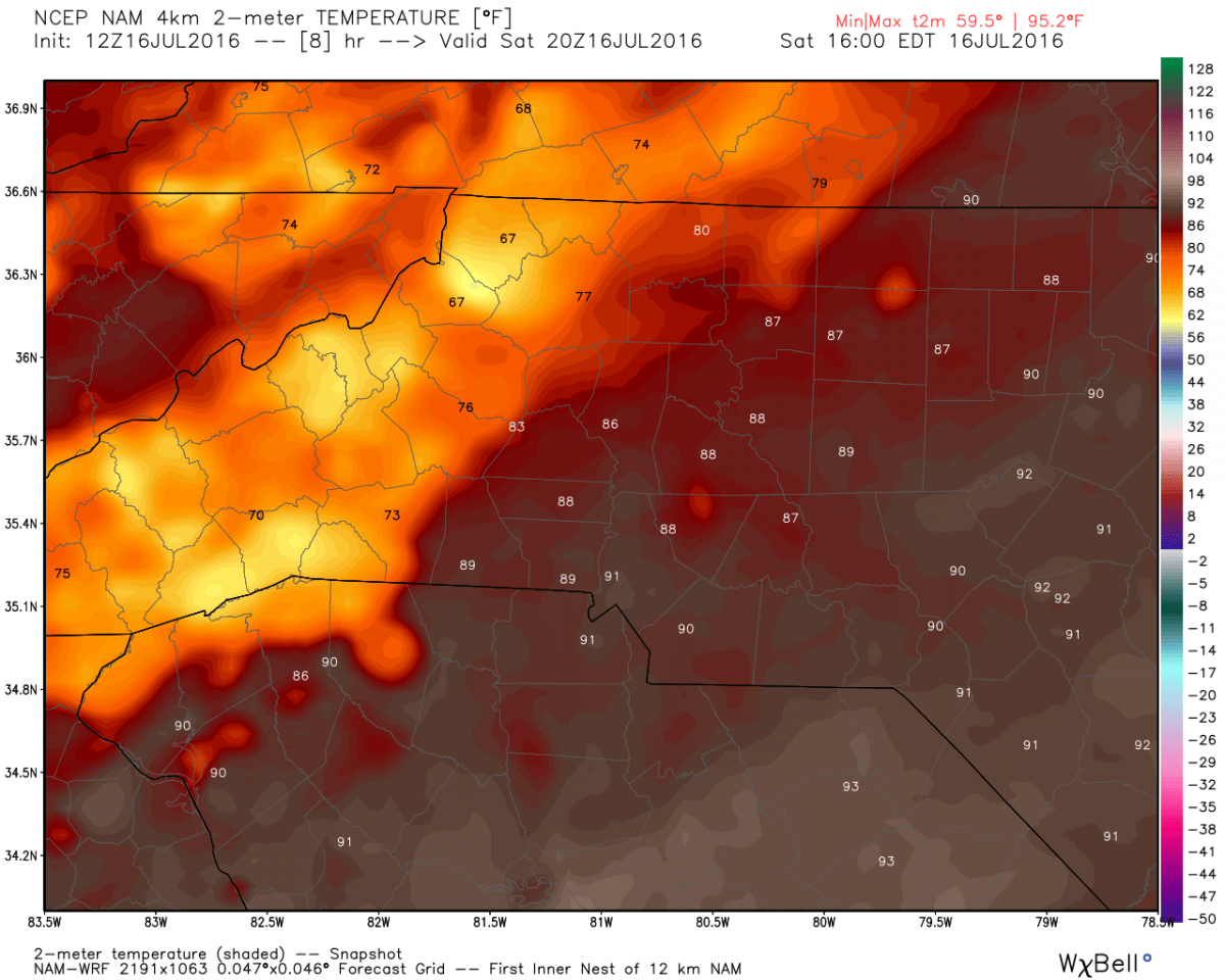
The high today will be around 88º
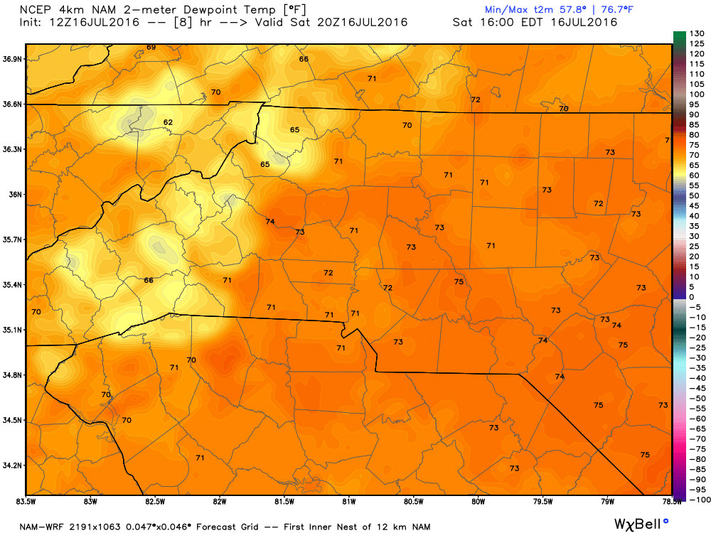
The dew points will be in the low to mid 70's making the air feel oppressive
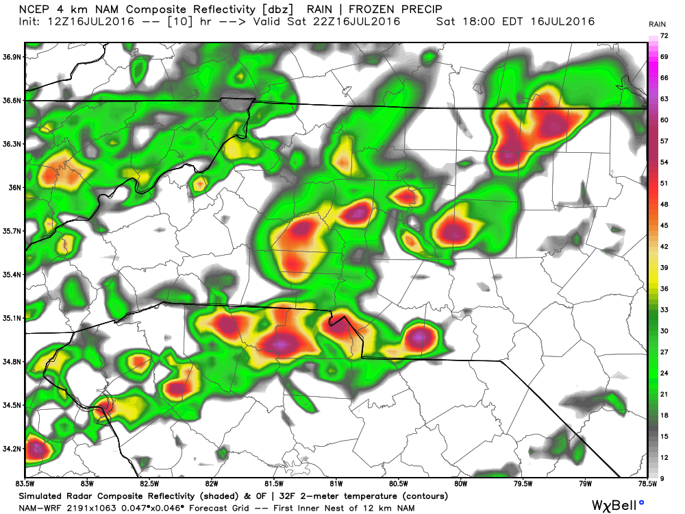
I expect the storms to begin to move into the county around the 5 to 7pm timeframe.
The CAPE levels will be real high today which will fuel storms as they move through the area later today.

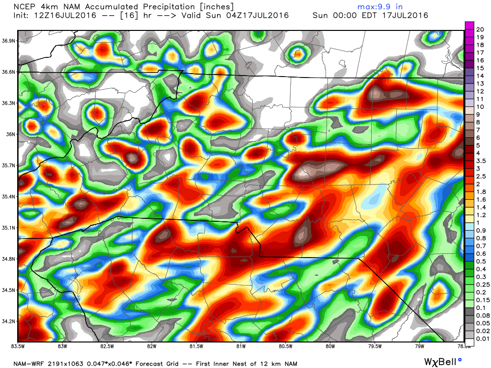
Accumulation totals of an inch or more is possible around the county. Models are showing higher amounts but they are a bit inflated due to the hail threat.
Stay weather aware today! I will provide updates right here and on social media as storms approach the county later this afternoon. As always thank you for following Rowan County Weather!