
Cooler Air starts moving in tonight
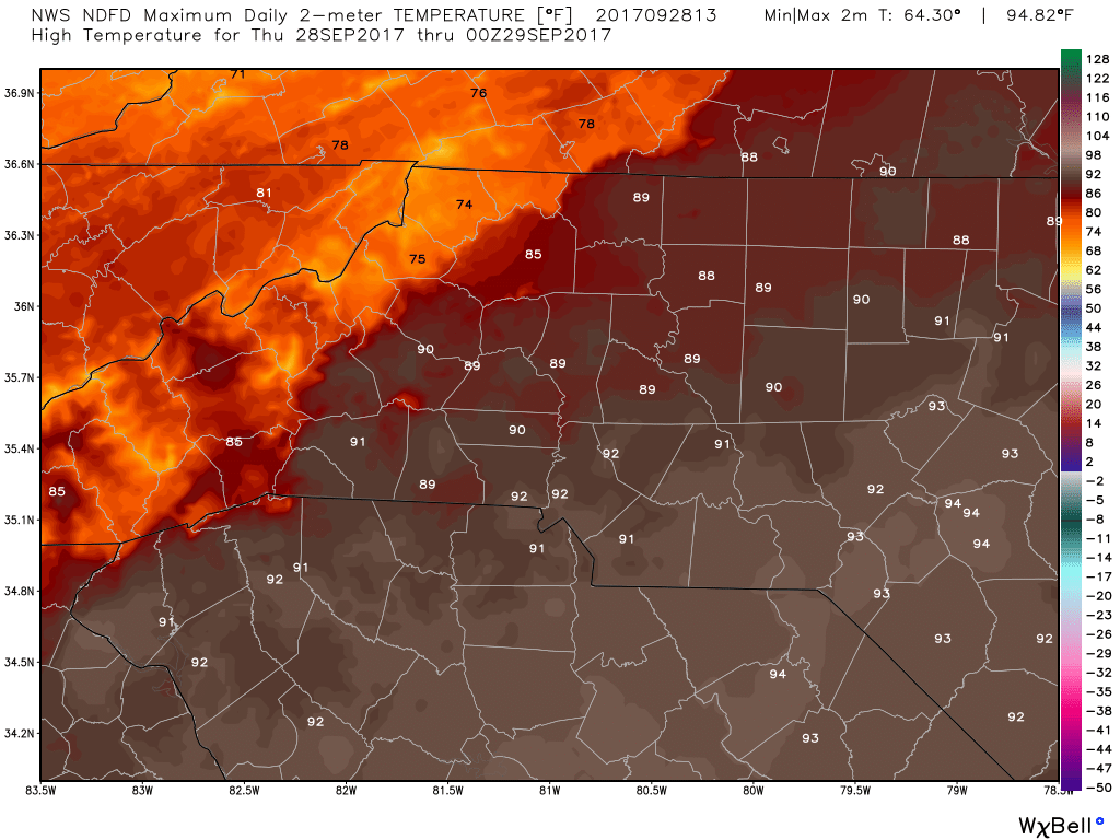
It has been hot! I mean this hasn't even felt like Fall at all! Yesterday we had our 18th 90º day of the year. Well below the average mark of days with temperatures reaching 90 or more. The good news is the long wait ends in a matter of hours. We will get close to 90 again today but a cold front makes its way into the area and the county and we cool down close to 60 tonight. Setting the stage for some cool more seasonal type weather for this time of year.
With temperature changes you also get pressure change as well. When the pressure starts to fluctuate the winds pick up a little bit. We will see sustained winds of around 10 miles per hour around the county throughout the day and evening.
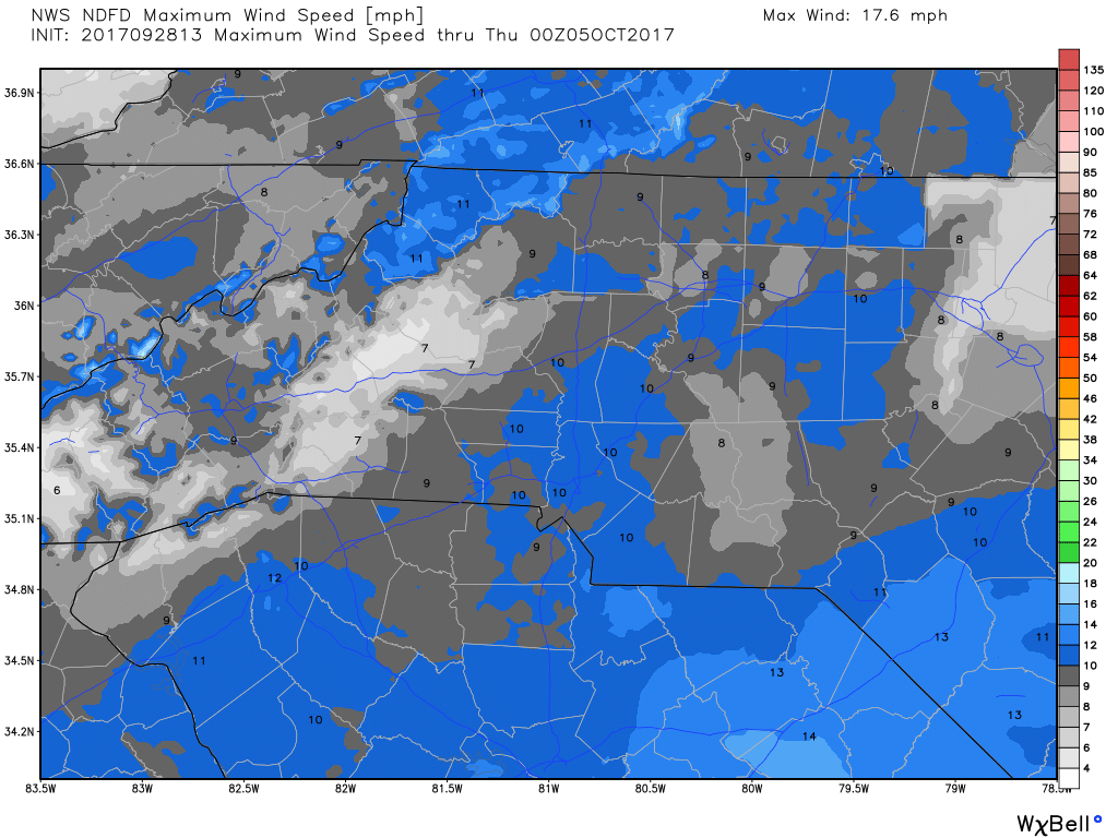
We will see gust of around 15 miles per hour as we move through the day and evening.

The front will start to makes its way into the area and county around 3pm today. We will start to see those temperatures drop. I would like to tell you they will drop pretty quickly but we are going to take a few hours to get there. We will see temperatures back into the mid to upper 70's by 10pm

By the turn of the calendar day at midnight we will see those temps bottoming out at around the low 70's.

On Friday morning when you wake up. There will be a whole new feel to the air as we will start off the day around 60 degrees. I will keep you updated on the transition of the front right here and on social media as well. As always thank you for following Rowan County Weather!