
General risk for thunderstorms around the county
As we close out the work week sunny skies will give way to a general risk for thunderstorms today. We could see periods of rainfall throughout the day around the county. Some light showers are occurring in southwest Rowan County as I type this post.
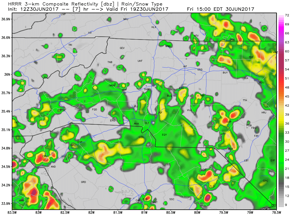
As you can tell form the model data above most of the rainfall will be in the form of showers with a few rounds of thunderstorms. Nothing severe is expected as we move through the day. Most of the rain will move out by around 7 to 8pm. We could see one more last burst around 10 to 11pm this evening but again nothing severe. These all look to be just general summer time thunderstorms.
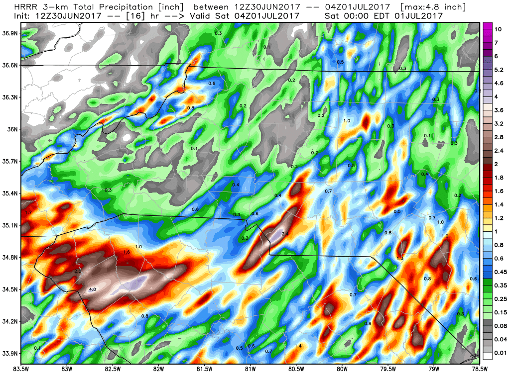
Accumulations of around a half of an inch are possible today and this evening as showers and storms pass through. It is possible some areas around the county could see around an inch. I will certainly try to provide updates throughout the day as storms move through the county. Remember I am on vacation this week so I may not post as many updates as I typically would post. As always thank you for following Rowan County Weather!