
Strong storms possible very late tonight
Do you ever notice that Mother Nature finds a way of interfere with our schedules? I mean it either storms during the Morning Commute, The Evening Commute or last at night when we put the kids to bed. This is one of those days where Mother Nature is going to mess with our kids sleeping schedules. We will see a few light isolated showers move into the county in the afternoon hours between 1 & 2pm.
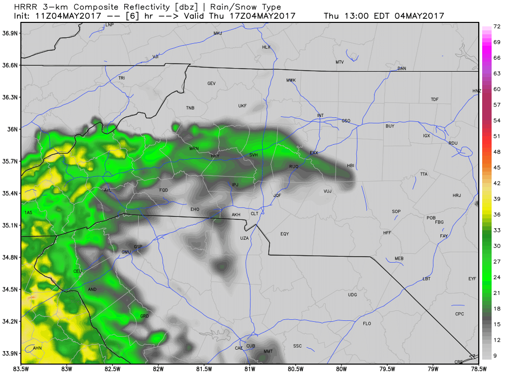
Things stay pretty light in terms of rainfall until later in the evening. Around the time you might be putting your little ones in bed for the night. Storms try to work their way in.
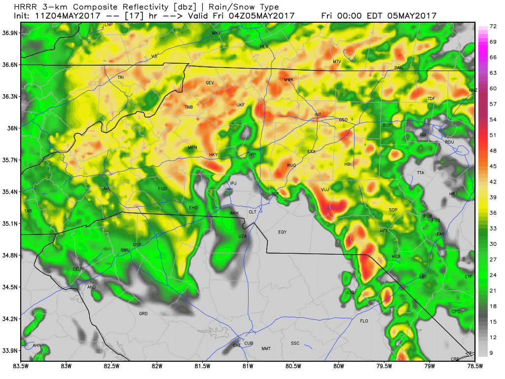
As you can see from the model data above things look to be pretty active as we close in on the end of the day. Storms will likely start to move into the county after 9pm this evening and we could see some strong winds once again with this storms. The big concern with the winds is the ground is already saturated and this could help some trees come down around the county. Go ahead and charge your devices now in case you need them overnight should the power go out.
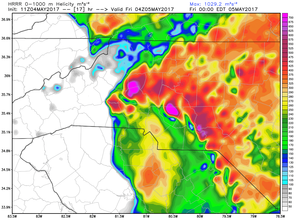
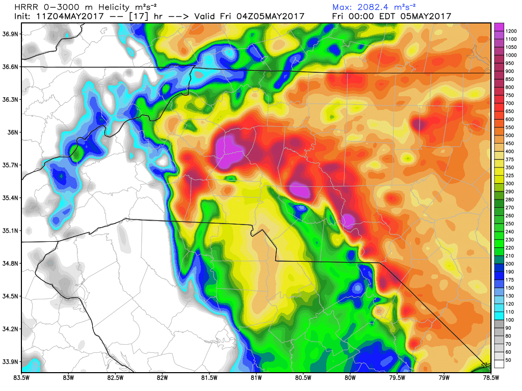
Helicity values pictured on the data above are elevated quite a bit. This is why I think we will see some pretty strong and gusty winds. I think if the updraft sets itself up small hail is not out of the question with storms late tonight as well.
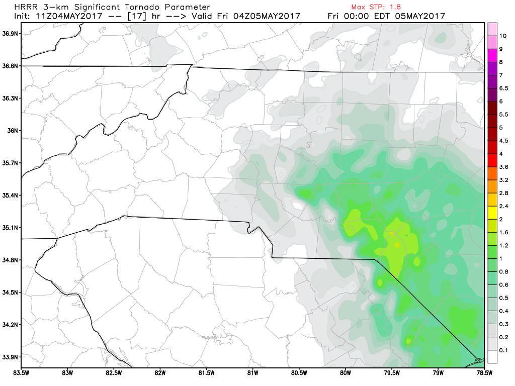
Going to have to keep an eye on the southeast areas of the county later this evening. I think that's where our best chance of strong to severe storms is likely. The tornado chances are low but enough to keep an eye on.
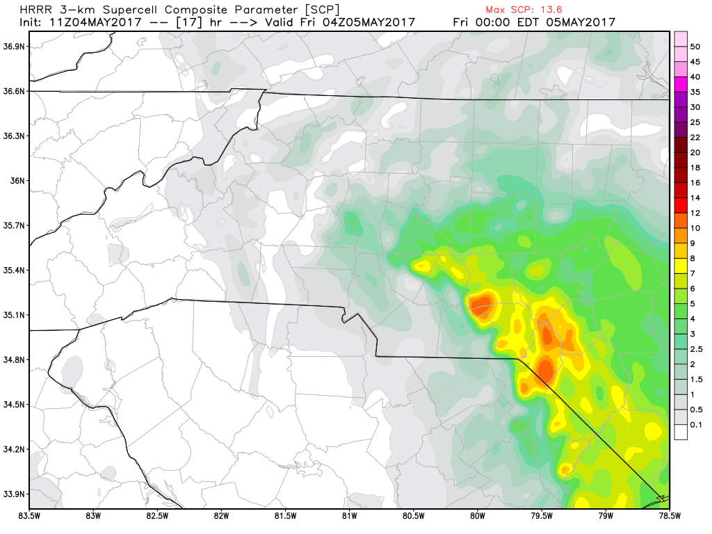
The chance for a few super cells in the southeast portion of the county is a little escalated as well. If we see any severe warning issued for the county I feel they are most likely going to be issued around the southeast corner of the county.
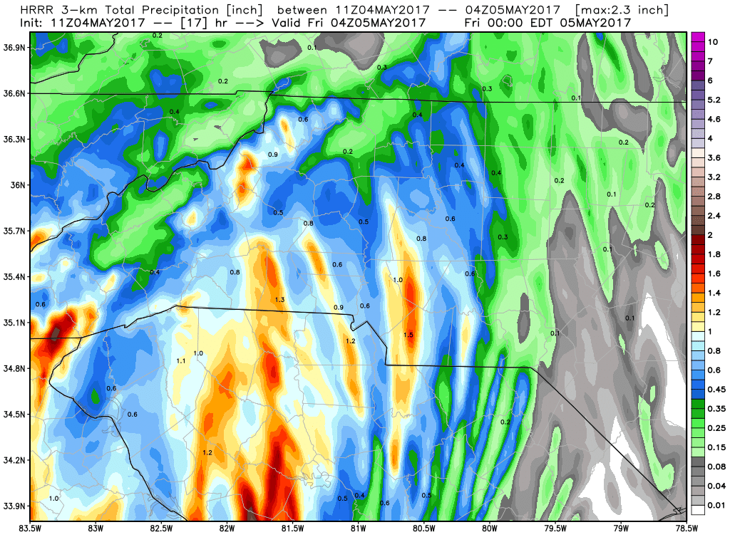
Could see an accumulation of 3/4 to 1 inch of rainfall around the county by the end of the day. Rain will continue overnight so don't be surprised if you check your rain gage in the morning to find 1.5 - 2 inches of rainfall accumulation in the gages. I will continue to keep an eye on the models and the radar and provide updates right here and on social media. As always thank you for following Rowan County Weather!