
Sunday storms continue to look generally weak
I have been posting for a few days about the upcoming thunderstorm chances on Sunday. The models continue to trend to a higher threat west of our area. The biggest threat looks to exist in the mountains and along the Gulf Coast. The models continue to shows these storms really falling apart by the time they clear the mountains and move into the county.
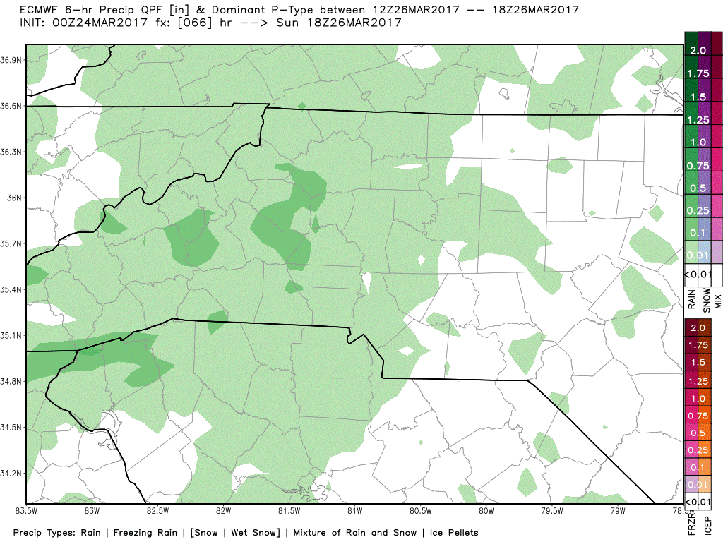
The GFS Model and the European Model
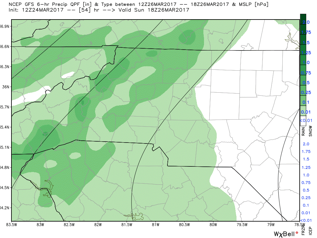
The models are really starting to come together with the timing of the arrival of the rain on Sunday. The GFS above and the European below show rain arriving to the county around 1pm on Sunday.
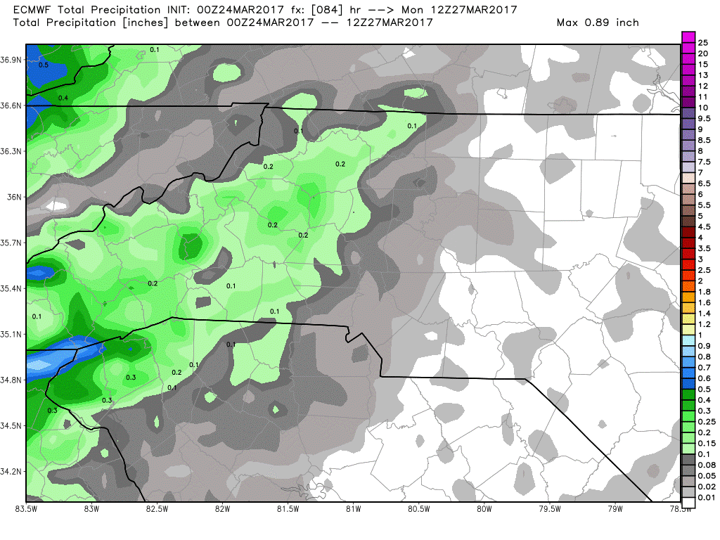
The models are also in agreement on totals which look to be real light by the time we reach the morning commute hours on Monday.
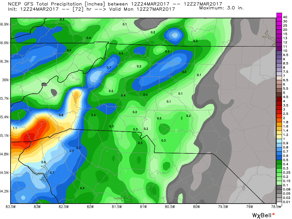
The GFS above shows around a tenth of an inch possible for accumulations around the county. The European below shows around a trace at this point.
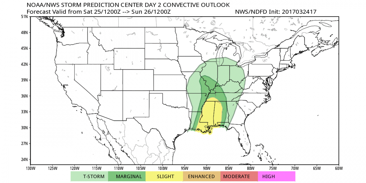
The SPC is keeping the threat for Severe Weather on Sunday to our southwest and west in the NC Mountains.
All in all the models continue to show a trend of these storms weakening as they move out of east Tennessee and into the mountains. I tend to believe the models at this point have a pretty good handle on the system and we will see over the next 24 hours if the short range models start to buy into that data as well.
I will continue to keep you posted right here and on social media. As always thank you for following Rowan County Weather!