
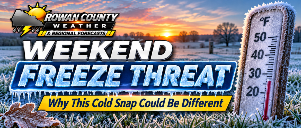
This Weekend's Freeze: Why Colder Temperatures Could Have a Bigger Impact Than Recent Frost
By Rowan County Weather & Regional Forecast | Thursday, November 12, 2026
After several mild November days, a much colder air mass is preparing to settle across Rowan, Davie, Davidson and Cabarrus counties. While we've already experienced some frosty mornings this fall, the temperatures I'm tracking for this weekend could bring a more widespread freeze.
And there's an important difference between seeing frost on your windshield and experiencing several hours of temperatures below freezing.
From Mild November Weather to a Winterlike Weekend
We're starting Thursday with afternoon temperatures reaching the upper 60s to around 70 degrees across our four-county forecast area.
However, a cold front moving through today will begin changing that picture. Another reinforcing front Friday will bring an additional push of colder air into the Carolinas.
By Saturday and Sunday, afternoon highs will generally struggle to climb much beyond the lower and middle 50s.
The bigger concern will arrive after sunset, when temperatures begin falling toward freezing.
I'm expecting many communities to experience overnight lows in the upper 20s and lower 30s this weekend, with some rural locations potentially getting even colder.
Why This Freeze Could Be Different
Earlier this month, we've experienced mornings when frost developed even though the official air temperature remained slightly above freezing.
That's possible because grass, vehicles and other exposed surfaces can cool below the surrounding air temperature.
But this weekend, we're looking at something more significant.
Instead of just surface temperatures falling below freezing, the actual air temperature could reach 32 degrees or lower across a much larger area.
That increases the potential for damage to sensitive vegetation, particularly if temperatures remain below freezing for several hours.
Saturday Night Into Sunday Morning Is My Biggest Concern
Although colder temperatures will begin arriving Friday night, I'm watching Saturday night into Sunday morning especially closely.
As high pressure builds into the region, winds should gradually relax. Combined with clear skies and dry air, those conditions can allow temperatures to fall quickly overnight.
This process is known as radiational cooling.
Rural communities, valleys and sheltered locations can experience colder temperatures than nearby downtown areas because they lose heat more efficiently overnight.
That's why a forecast low of 30 degrees doesn't necessarily mean every neighborhood will experience exactly 30 degrees.
Some locations could be several degrees colder.
What About a Hard Freeze?
A hard freeze generally refers to temperatures falling to around 28 degrees or lower for an extended period, although the precise definition can vary.
I'm watching the possibility of temperatures approaching that threshold in some of our colder rural locations.
Whether a particular neighborhood experiences a hard freeze will depend on the final temperature, wind and cloud-cover forecast.
The coldest conditions are most likely around daybreak Sunday.
What You Should Do Before the Weekend
If you have sensitive plants, flowers or vegetables still outdoors, now is a good time to prepare.
Bring potted plants indoors when possible, and cover sensitive vegetation that cannot be moved.
If you have exposed outdoor plumbing, disconnect garden hoses and consider protecting vulnerable pipes or fixtures.
For pets that spend time outdoors, make sure they have a warm, dry place to shelter from the cold.
And if you're heading out early Saturday or Sunday morning, expect temperatures that will feel much more like winter than the mild weather we've experienced recently.
Does This Mean Snow Is Coming?
No. I am not expecting snow in Rowan, Davie, Davidson or Cabarrus counties with this weather pattern.
Accumulating snow is possible in the highest elevations of western North Carolina, particularly near the Tennessee border, but that is a separate situation from what we're expecting here in the Piedmont.
For our communities, this is primarily a cold-temperature event.
Will the Cold Weather Last?
The colder pattern doesn't appear to be a one-night event.
Below-normal temperatures could continue into early next week, with additional mornings near or below freezing.
Afternoon sunshine should help temperatures recover somewhat each day, but overnight readings will remain the main concern.
My Final Thoughts
The message I want everyone to take away is simple: Don't let today's mild temperatures fool you.
We're moving into a considerably colder pattern, and this weekend could bring some of the lowest temperatures we've experienced so far this fall.
I'll continue watching the forecast closely, particularly the potential for temperatures in the upper 20s and the possibility of a more widespread freeze.
If you have sensitive plants or outdoor items that need protection, I wouldn't wait until Saturday evening to prepare.
Stay weather-aware, and stay warm.
Rowan County Weather & Regional Forecast provides local weather coverage for Rowan, Davie, Davidson and Cabarrus counties in North Carolina.