
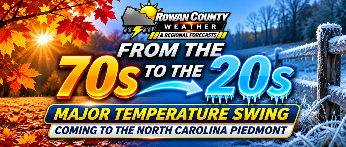
From the 70s to the 20s: Major Temperature Swing Coming to the North Carolina Piedmont
By Steve Monday | Chief Forecaster, Rowan County Weather & Regional Forecast
Tuesday, November 10, 2026 | 9:30 AM
Residents across Rowan, Davie, Davidson, and Cabarrus counties are about to experience a dramatic reminder that November weather in North Carolina can change quickly.
After afternoon temperatures climb into the lower 70s Tuesday and Wednesday, a cold front arriving Thursday will set the stage for a significant cooldown. By the weekend, daytime highs will struggle to climb out of the 50s, and overnight temperatures could tumble into the 20s across portions of the region.
The biggest concern isn't the cold front itself. It's the potential for several consecutive mornings of freezing temperatures beginning this weekend.
A Warm Start to the Week
Tuesday and Wednesday will offer some of the most comfortable weather of the week.
High pressure will maintain generally dry conditions, with afternoon temperatures reaching the lower to middle 70s across our four-county coverage area.
Tuesday morning started on a chilly note, with our Rowan County weather station reporting 37 degrees under fair skies, calm winds, and humidity of 96%.
However, temperatures will rebound considerably during the afternoon.
Wednesday will bring another mild November day before changes begin arriving from the northwest.
Thursday's Cold Front: Limited Rainfall Expected
A cold front will cross the North Carolina Piedmont Thursday, bringing increasing clouds and a chance of scattered light showers.
Despite the approaching system, widespread rainfall is not anticipated.
Our current forecast calls for the following precipitation probabilities:
-
Rowan County: 20%
-
Davie County: 30%
-
Davidson County: 30%
-
Cabarrus County: 20%
Many communities may receive little or no measurable rainfall.
The atmosphere is expected to contain relatively limited moisture, which should prevent this system from producing substantial rainfall across the Piedmont.
Friday Brings a Noticeable Temperature Drop
By Friday, colder air will begin settling across the region.
Afternoon highs are forecast to reach only the lower to middle 50s, a considerable change from the lower 70s earlier in the week.
A reinforcing cold front late Friday into Friday night will help deliver another surge of colder air.
Friday night temperatures could approach freezing in some locations, particularly outside larger towns and cities.
The Biggest Concern: Sunday and Monday Morning Freezes
While Saturday will be chilly, the greatest potential for widespread freezing temperatures currently appears to be Sunday and Monday mornings.
As high pressure builds into the region and winds gradually diminish, nighttime temperatures will have an opportunity to fall considerably.
Temperatures in the 20s are possible, particularly in rural and sheltered locations.
A hard freeze cannot be ruled out in portions of the Piedmont.
This could bring an end to the growing season for any remaining sensitive vegetation.
Residents should begin preparing now rather than waiting until the coldest temperatures arrive.
What About Snow?
While portions of the North Carolina mountains could experience snow showers later this week, snow is not expected across Rowan, Davie, Davidson, or Cabarrus counties.
The greatest potential for mountain snow will be near the Tennessee border, where colder air and northwest winds could combine to produce snow showers Friday into Friday night.
For the Piedmont, the main impact will be falling temperatures rather than winter precipitation.
Preparing for the Cold
Residents should consider taking several precautions before the weekend:
-
Bring sensitive potted plants indoors or protect them with appropriate coverings.
-
Disconnect and drain exposed garden hoses.
-
Check outdoor faucets and vulnerable plumbing.
-
Provide adequate shelter and unfrozen water for outdoor pets.
-
Prepare for several cold mornings rather than a single overnight freeze.
Remember that temperatures can vary considerably over short distances. Rural valleys and sheltered locations may become several degrees colder than nearby urban areas.
The Bottom Line
Enjoy the comfortable temperatures Tuesday and Wednesday because a much colder weather pattern is approaching.
Thursday's cold front will bring limited rain chances, followed by a substantial temperature drop Friday and Saturday.
The greatest concern is the potential for widespread freezing temperatures Sunday and Monday mornings, with a hard freeze possible in some rural communities.
Rowan County Weather & Regional Forecast will continue monitoring forecast guidance and provide updates as confidence increases in the timing and intensity of the coldest air.
Stay with Rowan County Weather & Regional Forecast for the latest information across Rowan, Davie, Davidson, and Cabarrus counties.