
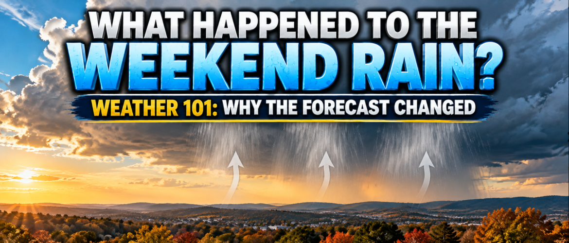
What Happened to the Weekend Rain? Why the Forecast Changed
Weather 101 | Friday, October 30, 2026
By Rowan County Weather & Regional Forecast
Just a few days ago, there was growing concern that our Halloween weekend could feature plenty of clouds, cooler temperatures, and periods of rainfall across Rowan, Davie, Davidson, and Cabarrus counties.
Now, as we approach the weekend, the forecast looks considerably different.
The cooler temperatures are still coming. The clouds are still expected to increase. But the rainfall that once appeared possible has largely disappeared from the forecast.
So what happened?
Did the storm system suddenly vanish? Were the computer models wrong? Or did something change in the atmosphere?
The answer involves a fascinating combination of atmospheric moisture, high pressure, and a weather phenomenon known as cold air damming.
Let's break down what happened and why weather forecasts sometimes change dramatically in just a few days.
The Original Forecast: A Carolina Wedge and Increasing Moisture
Earlier this week, forecast guidance suggested that a developing area of high pressure over the northeastern United States could push cooler air southward into the Carolinas.
That setup is commonly known as a Carolina wedge, or cold air damming.
When cooler, denser air becomes trapped against the eastern slopes of the Appalachian Mountains, it can produce a stubborn layer of cool air near the ground.
At the same time, weather disturbances approaching from the west can transport moisture into the region.
When these ingredients come together, the result can be cloudy skies, chilly temperatures, and sometimes prolonged light rainfall or drizzle.
That was one of the possibilities being considered for Sunday and Monday.
However, there was one important ingredient that had to cooperate: moisture throughout enough of the atmosphere to support rainfall reaching the ground.
And that's where the forecast began changing.
The Missing Ingredient: Moisture Near the Ground
As newer forecast information became available, it became increasingly apparent that the atmosphere would likely remain much drier near the surface than originally anticipated.
That matters because clouds and rain are not the same thing.
Clouds can form thousands of feet above the ground while the air underneath them remains relatively dry.
Rain may begin falling from those clouds, but if it encounters a sufficiently deep layer of dry air, some or all of the precipitation can evaporate before reaching the surface.
Meteorologists call this phenomenon virga.
In other words, precipitation can be falling overhead without anyone standing on the ground ever feeling a raindrop.
That's an important part of what the latest forecast guidance is suggesting for our region.
We may still see widespread cloud cover, particularly from Saturday night into Monday, but much of the precipitation developing above us may never reach the ground.
Why High Pressure Changed the Outcome
Another important factor is the position and strength of high pressure.
High pressure systems are often associated with sinking air and relatively stable atmospheric conditions.
In this situation, high pressure building across the northeastern United States is helping transport cooler and drier air into the Carolinas.
That cooler air is responsible for our noticeable temperature drop heading into Halloween.
But the same pattern is also making it more difficult for moisture to become established throughout the lower atmosphere.
Meanwhile, the deeper moisture associated with the approaching weather disturbance is increasingly expected to remain farther south and west of our region.
That means the ingredients necessary for widespread measurable rainfall are no longer coming together the way some earlier forecast solutions suggested.
We can still have a wedge, cooler temperatures, and clouds without experiencing a rainy weekend.
Why Didn't the Computer Models See This Earlier?
This is one of the most common questions people ask when a weather forecast changes.
Modern computer forecast models are extremely sophisticated, but they don't produce a single guaranteed outcome.
Instead, they simulate how the atmosphere may evolve based on observations, mathematical equations, and assumptions about future atmospheric conditions.
Small differences in the strength or position of a high pressure system can influence where moisture travels.
A slightly stronger push of dry air may prevent rainfall from reaching the ground.
A small shift in an upper-level disturbance may keep the best atmospheric lift away from our region.
And when several of these relatively small differences occur together, they can produce a much different forecast.
Meteorologists also examine ensemble forecasts, which involve running weather models multiple times with slightly different starting conditions or configurations.
When a growing number of those solutions begin pointing toward the same outcome, confidence in that scenario increases.
That's what we've seen with this weekend's rainfall potential.
The forecast hasn't changed because meteorologists stopped paying attention to the original possibility.
It changed because newer evidence increasingly supports a different outcome.
Does This Mean the Earlier Forecast Was Wrong?
Not necessarily.
There is an important difference between forecasting that rain will occur and explaining that conditions could support rainfall several days in advance.
Earlier this week, a wetter outcome was a reasonable possibility based on the atmospheric pattern and the forecast information available at that time.
As the weekend approached, newer data allowed that possibility to be evaluated more accurately.
Weather forecasting is a process of continuously updating probabilities as better information becomes available.
That's why I frequently emphasize trends, confidence levels, and what has changed in our daily forecasts.
A forecast isn't a promise that the atmosphere must follow.
It's our best assessment of the most likely outcome based on the available evidence.
What Does This Mean for Halloween Weekend?
For families across Rowan, Davie, Davidson, and Cabarrus counties, the latest developments are encouraging.
Friday will be unusually warm for late October, with afternoon highs reaching the lower 80s in many locations.
A cold front moving through Friday night will bring a noticeable change.
By Halloween Saturday, afternoon temperatures should reach only the middle to upper 60s.
Clouds may increase, but measurable rainfall looks unlikely.
During trick-or-treating Saturday evening, temperatures should gradually fall through the 50s, making a jacket or an extra layer underneath costumes a good idea.
Sunday and Monday may feature considerable cloud cover as moisture moves overhead, but the latest guidance favors little, if any, measurable rainfall.
There is always some uncertainty, particularly when dealing with shallow moisture and cloud cover, but confidence in a predominantly dry weekend has increased.
A Dry Forecast Isn't Necessarily Good News for Everyone
While improving weather conditions are welcome news for outdoor Halloween activities, there's another side to this forecast.
Parts of our region have been dealing with dry conditions, and a widespread soaking rainfall would be beneficial.
The disappearance of this weekend's rain potential means those areas may have to wait longer for meaningful precipitation.
Fortunately, forecast guidance is beginning to indicate another opportunity for rainfall around the middle to latter portion of next week.
That potential system appears more promising for measurable precipitation, although its exact timing, coverage, and rainfall totals remain uncertain.
I'll continue monitoring that possibility as we move into November.
The Bottom Line: Weather Forecasting Is About Following the Evidence
The biggest lesson from this weekend's forecast is that having the right general weather pattern doesn't automatically guarantee a particular result.
A Carolina wedge can bring clouds and cool temperatures without rain.
Moisture can exist thousands of feet above the ground while the air beneath it remains too dry for precipitation to survive.
And small changes in atmospheric conditions can have a major impact on what we actually experience at the surface.
That's why forecast updates matter.
As new information becomes available, the forecast should reflect that evidence, even when it means changing an earlier expectation.
For Halloween weekend, those changes appear to be working in our favor.
The cooler weather is coming, the clouds may still arrive, but the rain increasingly looks like it will stay away.
And for families heading out Saturday evening, that's a welcome development.
Stay with Rowan County Weather & Regional Forecast for continuing updates across Rowan, Davie, Davidson, and Cabarrus counties.