
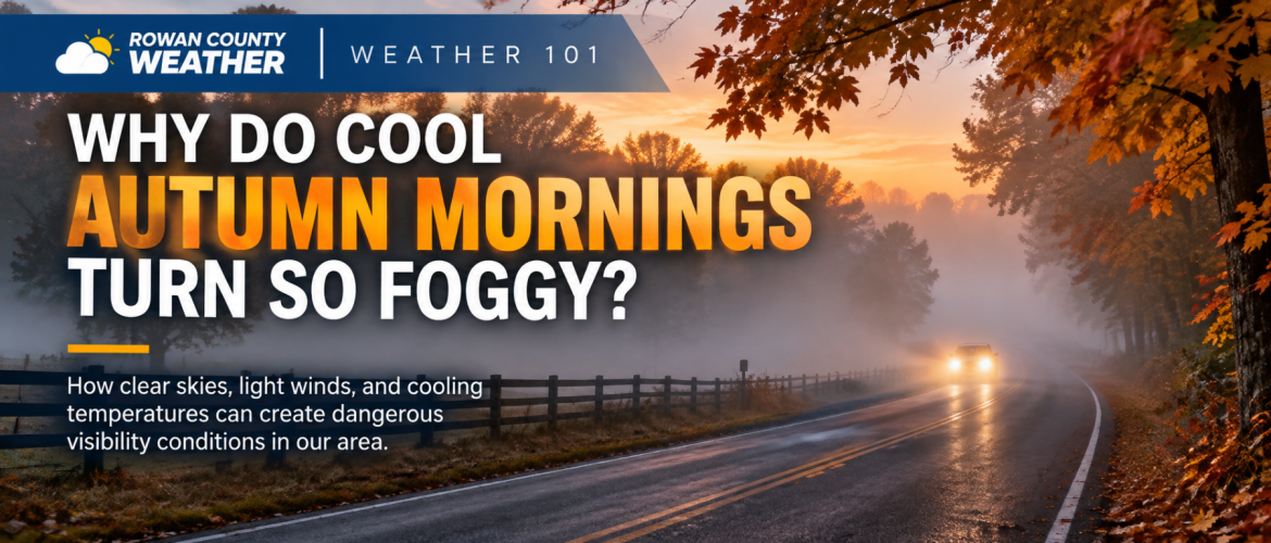
Weather 101: Why Do Cool Autumn Mornings Turn So Foggy?
How clear skies, light winds, and cooling temperatures can create dangerous visibility conditions across Rowan, Davie, Davidson, and Cabarrus counties.
By Rowan County Weather & Regional Forecast | October 29, 2026
Have you ever left your house on a cool autumn morning with perfectly clear skies overhead, only to drive a few miles and suddenly find yourself surrounded by thick fog?
It's a familiar experience across our region, particularly during October and November.
One neighborhood may have excellent visibility while another, just a short distance away, is dealing with fog thick enough to make driving difficult.
So why does this happen? And why does fog seem to become more common during the fall?
For today's Weather 101, I want to explain the science behind those foggy mornings and why some locations across our four-county coverage area are more susceptible than others.
First, What Exactly Is Fog?
Fog is essentially a cloud that forms at or very near the ground.
Just like the clouds we see overhead, fog consists of countless tiny water droplets suspended in the air.
The difference is where those droplets develop.
When a cloud forms high above us, it may have little effect on visibility at the surface. When those same tiny droplets form around us near the ground, they scatter light and make it difficult to see objects in the distance.
Depending on how thick the fog becomes, visibility can range from a few miles to only a few feet.
And in some cases, fog can develop surprisingly quickly.
The Main Ingredient: Cooling Temperatures
One of the most common types of fog across central North Carolina is called radiation fog.
Despite its name, radiation fog has nothing to do with dangerous radiation.
Instead, the term refers to the way the ground loses heat after sunset.
During the daytime, sunshine warms the Earth's surface. Once the sun goes down, the ground begins releasing that stored heat into the atmosphere and space.
On clear nights, this cooling process can happen efficiently.
As the ground cools, the air immediately above it also becomes cooler.
If the air contains enough moisture, the temperature can eventually fall to its dew point.
That's when things get interesting.
Understanding the Dew Point
The dew point is the temperature to which air must cool, at roughly constant pressure and moisture content, to become saturated.
When the air temperature reaches the dew point, the relative humidity approaches 100%.
At that point, water vapor can begin condensing into tiny liquid droplets.
If those droplets develop on grass, cars, or other surfaces, we see dew.
If they remain suspended in the air near the ground, we may see fog.
Here's a simple example.
Imagine the air temperature during the evening is 60 degrees, while the dew point is 48 degrees.
As temperatures fall overnight, the air gradually approaches saturation.
If the temperature reaches approximately 48 degrees and the atmosphere remains favorable, fog may begin developing.
However, reaching the dew point doesn't guarantee fog. Wind, cloud cover, atmospheric mixing, and the amount of moisture near the ground all influence whether fog actually forms.
Why Autumn Is Such a Favorable Season
Several seasonal changes make fall particularly favorable for radiation fog.
Longer nights: As daylight hours decrease, the ground has more time to cool before sunrise.
Clear skies: When skies are clear, the surface can lose heat more efficiently overnight.
Light winds: Calm or nearly calm conditions allow cooler, moisture-rich air to remain concentrated near the surface.
Lingering moisture: Recent rainfall, damp soil, nearby ponds, lakes, and streams can provide moisture to the air.
When these ingredients come together, fog may develop late at night or during the early morning hours.
That's why a beautiful, sunny autumn afternoon can sometimes be followed by a very foggy morning.
Why Some Parts of Our Counties Get More Fog Than Others
This is one of the most interesting aspects of fog forecasting.
Fog doesn't always cover an entire county uniformly.
Terrain plays an important role.
Cool air is denser than warm air, so it tends to drain downhill and collect in valleys and other low-lying areas during calm nights.
Those locations may cool more quickly than nearby hillsides.
If enough moisture is available, fog can develop in those lower elevations while higher ground remains relatively clear.
Across Rowan, Davie, Davidson, and Cabarrus counties, this can affect rural valleys, creek bottoms, farmland, and neighborhoods near waterways.
Locations around High Rock Lake, the Yadkin River, and smaller streams may be particularly favorable for localized fog under the right conditions.
But bodies of water aren't the only places where fog forms.
Open fields, low-lying roadways, and sheltered neighborhoods can experience significant fog even when they are several miles away from a lake or river.
This helps explain why you might drive through clear conditions in Salisbury, encounter a thick patch of fog along a rural roadway, and then return to clear skies a few miles later.
Why Fog Can Become So Dangerous for Drivers
The biggest concern with fog isn't necessarily how widespread it becomes.
It's how quickly visibility can change.
Imagine traveling along a highway at 55 miles per hour.
At that speed, your vehicle covers approximately 81 feet every second.
If visibility suddenly drops to just 200 feet, you may have less than three seconds before reaching an object that was initially at the edge of your visible range.
That leaves very little time to recognize a hazard, react, and stop.
The National Weather Service may issue a Dense Fog Advisory when widespread visibility is expected to fall to one-quarter mile or less.
Even when no advisory is in effect, localized patches of dense fog can still create dangerous driving conditions.
Particular caution is warranted along rural roads, near waterways, at intersections, and in areas where visibility changes suddenly.
Five Important Safety Tips for Foggy Mornings
If you encounter fog while driving, remember these precautions:
-
Slow down. Reduce your speed before entering dense fog, not after visibility has already dropped significantly.
-
Use low-beam headlights. High beams reflect light back toward the driver, creating additional glare and making visibility worse.
-
Increase your following distance. Leave more room between your vehicle and the one ahead.
-
Avoid sudden lane changes or hard braking. Make your movements predictable and give other drivers time to react.
-
If visibility becomes dangerously poor, find a safe place to stop. A parking lot or another location completely away from moving traffic is preferable. Don't stop in a travel lane.
And remember, daytime running lights don't always activate your rear taillights. Make sure your regular low-beam headlights are switched on when visibility is reduced.
Why Does Fog Usually Disappear After Sunrise?
You may have noticed that fog often begins thinning shortly after the sun rises.
That's because sunlight starts warming the ground and the air immediately above it.
As the air warms, its capacity to hold water vapor increases.
The relative humidity decreases, and the tiny water droplets making up the fog begin evaporating.
As more droplets evaporate, visibility gradually improves.
This is why many radiation fog events dissipate during the first few hours after sunrise.
However, the timing isn't always the same.
Thicker fog, extensive cloud cover, or weak daytime heating can allow fog to linger longer than expected.
In some cases, the fog may lift into a low cloud deck before skies finally clear.
Can Fog Be Predicted?
Yes, although forecasting exactly where the thickest fog will form can be challenging.
When I'm evaluating the potential for fog, I look at several important factors:
-
Forecast overnight temperatures and dew points
-
Expected cloud cover
-
Wind speeds during the overnight and early morning hours
-
Recent rainfall and ground moisture
-
Local terrain and nearby waterways
-
Whether the atmosphere will remain stable enough for fog to develop
When temperatures and dew points are expected to come close together under clear skies and light winds, the potential for fog increases.
However, a small change in wind speed or cloud cover can sometimes make the difference between a clear morning and a foggy one.
That's one reason fog forecasts may change as the overnight weather pattern becomes clearer.
The Bottom Line
Autumn fog is a fascinating example of how several ordinary weather ingredients can combine to produce a significant local impact.
Clear skies, cooling temperatures, light winds, and moisture near the ground can create conditions that allow fog to develop overnight.
And because terrain and moisture vary across our region, visibility can change dramatically over relatively short distances.
The next time you encounter fog on a cool morning, remember that you're essentially driving through a cloud that formed right at the Earth's surface.
It's a remarkable atmospheric process, but one that deserves respect when you're behind the wheel.
I'll continue monitoring fog potential as we move deeper into autumn and winter and will provide updates whenever reduced visibility could affect travel across Rowan, Davie, Davidson, and Cabarrus counties.
Rowan County Weather & Regional Forecast — Helping you understand the weather, not just forecast it.