
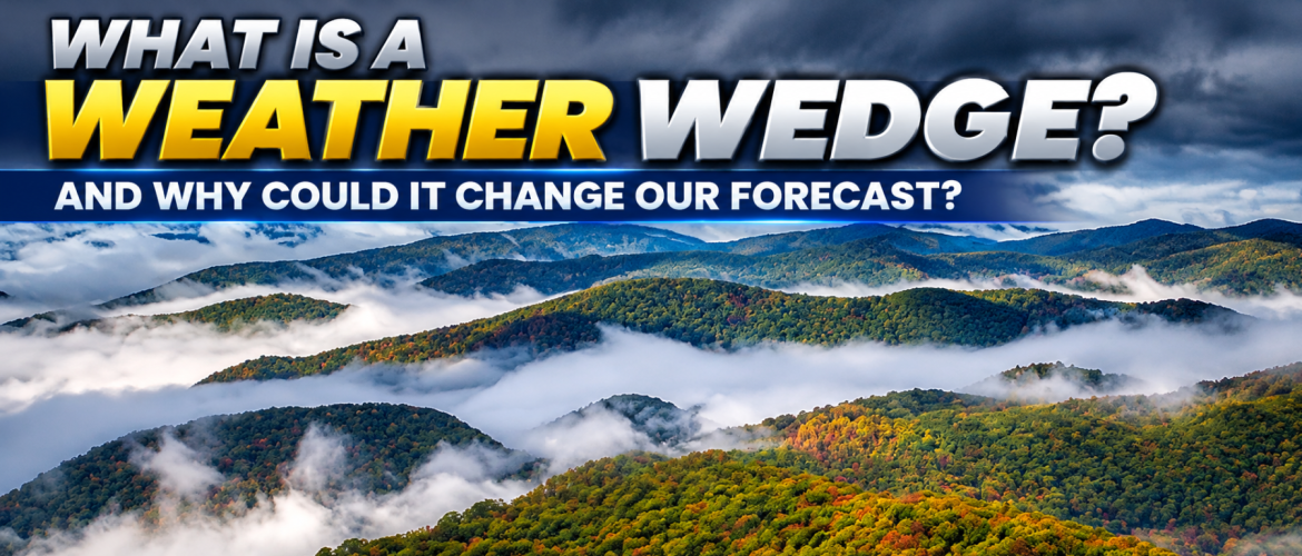
What Is a Weather Wedge, and Why Could It Change Our Forecast This Weekend?
By Steve Monday | Chief Forecaster, Rowan County Weather & Regional Forecast
Wednesday, October 28, 2026
We have a term that comes up quite often in weather forecasting across North Carolina, especially during the fall, winter, and early spring: the wedge.
If you've followed my forecasts for any length of time, you've probably heard me mention a developing wedge, cold-air damming, or a stubborn wedge that just doesn't want to go away.
But what exactly is a weather wedge? Why does it happen? And perhaps most importantly, why can it make forecasting temperatures and precipitation across Rowan, Davie, Davidson, and Cabarrus counties so challenging?
With the possibility of a wedge developing as we head into Sunday and early next week, this is a good opportunity to explain one of the more interesting weather patterns we experience here in the Piedmont.
What Exactly Is a Weather Wedge?
The technical name for a weather wedge is cold-air damming, often abbreviated as CAD.
It happens when an area of high pressure to our north or northeast pushes cooler air southward along the eastern side of the Appalachian Mountains.
Because cooler air is denser than warmer air, it tends to settle near the ground. The Appalachian Mountains act as a barrier, preventing that shallow layer of cool air from easily moving westward.
Instead, the cooler air becomes trapped along the eastern slopes of the mountains and extends southward through the Carolinas and sometimes into Georgia.
On a weather map, this area of cooler air often takes on a wedge-shaped appearance. That's where the nickname comes from.
And here in the Piedmont, we can find ourselves right in the middle of it.
Why Does the Wedge Affect Our Area So Much?
Our geography plays a major role.
Rowan, Davie, Davidson, and Cabarrus counties sit east of the Appalachian Mountains, placing us in a region particularly susceptible to cold-air damming.
When high pressure settles into the right position to our northeast, northeasterly or easterly winds can funnel cooler air into our area.
Meanwhile, warmer air may be moving into the region several thousand feet above the ground.
That creates an interesting atmospheric setup: cool, dense air near the surface with warmer air above it.
The result can be a stubborn layer of low clouds, chilly temperatures, periods of drizzle, and occasionally more widespread rainfall.
And depending on the season, the effects can be dramatically different.
During the fall, a wedge may turn what otherwise looks like a pleasant afternoon into a cloudy, damp, and noticeably cooler day.
During the winter, cold-air damming can play a major role in freezing rain and sleet events, especially when precipitation falls through warmer air above a shallow layer of freezing air near the surface.
Why Are Wedges So Difficult to Forecast?
This is where things get interesting.
Weather forecast models sometimes struggle to determine exactly how strong a wedge will become, how far south it will extend, and how quickly it will break down.
A model may predict temperatures reaching the upper 60s or lower 70s, but if a stronger wedge develops, some communities may struggle to get out of the 50s.
That's a substantial difference, especially when people are making outdoor plans.
Cloud cover also plays a major role. Once low clouds become established, they limit daytime heating, making it even harder for temperatures to rise.
And because the cool air is relatively shallow and trapped against the mountains, it doesn't always mix out as quickly as forecast guidance suggests.
Sometimes a wedge weakens during the afternoon.
Other times, it holds on throughout the day and even into the following morning.
This is one reason I pay particularly close attention to surface observations, wind direction, dew points, and trends in cloud cover when cold-air damming is possible.
The computer models provide valuable guidance, but understanding how these systems behave locally is equally important.
Does a Wedge Always Mean Rain?
Not necessarily.
A wedge can produce nothing more than cloudy skies and cooler temperatures.
However, when moisture moves into the region and rises over the cooler air trapped near the surface, clouds and precipitation can develop.
That precipitation may range from occasional drizzle to periods of steady rainfall.
The amount and duration depend on the available moisture, the strength of the wedge, and the weather systems moving through the region.
So while a developing wedge increases the potential for clouds and damp conditions, it doesn't automatically guarantee a widespread rain event.
What Does This Mean for Our Halloween Weekend?
The good news is that Halloween itself continues to look favorable across our region.
We're expecting a warm finish to October, with temperatures approaching 80 degrees Friday before increasing cloud cover and somewhat cooler conditions arrive Saturday.
For Halloween evening, the forecast currently favors mostly cloudy skies with rain unlikely during traditional trick-or-treating hours.
The bigger forecast question develops Sunday, November 1, as the possibility of cold-air damming enters the picture.
If a wedge becomes established, we could see increasing clouds, cooler temperatures, and periods of rain or drizzle across portions of Rowan, Davie, Davidson, and Cabarrus counties.
But there are still some important details to work out.
The questions I'm watching include:
-
How quickly will cooler air begin moving into the Piedmont?
-
How strong will the wedge become?
-
Will precipitation develop Sunday, or will the more widespread moisture arrive later?
-
How long will the cooler, cloudier conditions remain in place?
Small changes in the position and strength of high pressure can make a noticeable difference in our local forecast.
At this point, the wedge remains a potential weather development rather than a guarantee of widespread rain or significantly colder temperatures.
What Should You Watch for When a Wedge Develops?
There are a few familiar signs that cold-air damming may be taking hold.
You may notice winds shifting toward the northeast, temperatures struggling to rise, and a thickening blanket of low clouds.
Sometimes the temperature difference between the Piedmont and areas farther south or west can become quite noticeable.
While one community remains cloudy and cool, another location outside the wedge may enjoy sunshine and much warmer conditions.
That's part of what makes these systems so fascinating from a forecasting standpoint.
My Final Thoughts
The weather wedge is one of the most important local weather patterns we deal with in North Carolina.
It's also a reminder that forecasting isn't simply about looking at a computer-generated temperature or rain percentage.
Our geography, wind patterns, atmospheric temperatures, and moisture all interact to determine what actually happens at the surface.
As we move toward the weekend, I'll continue evaluating the latest forecast guidance and watching for signs that a wedge may develop Sunday into early next week.
For now, the message is straightforward: Halloween continues to look favorable, but changes may be on the way as November begins.
I'll keep you updated as the details become clearer.
Steve Monday
Chief Forecaster
Rowan County Weather & Regional Forecast
Serving Rowan, Davie, Davidson, and Cabarrus counties.