
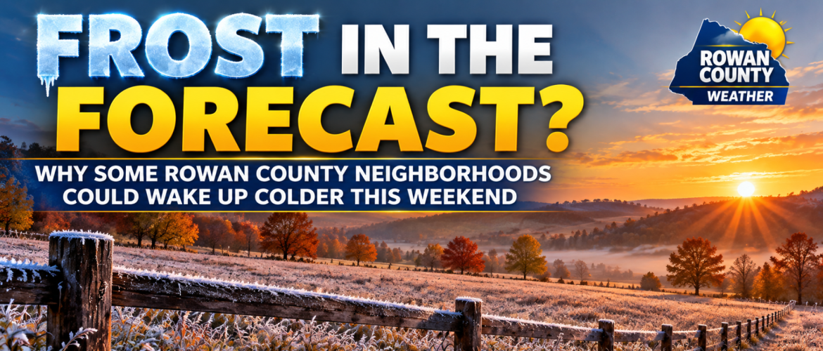
Frost in the Forecast? Why Some Rowan County Neighborhoods Could Wake Up Colder This Weekend
Wednesday, October 21, 2026 | Rowan County Weather
We're enjoying another beautiful stretch of autumn weather across Rowan County, with sunshine, comfortable afternoons, and very little chance of rainfall. But as we head toward the weekend, there is one weather concern worth watching: the possibility of patchy frost in some of our colder locations.
While widespread frost or a hard freeze is not currently expected, temperatures could fall low enough in a few rural and sheltered areas for frost to develop.
And here's the interesting part: your neighbor just a few miles away might wake up to completely different conditions.
How Cold Are We Expecting It to Get?
Our latest Rowan County Weather forecast calls for afternoon temperatures gradually cooling from the lower 70s Wednesday and Thursday into the middle and upper 60s this weekend.
Overnight temperatures will be a different story.
-
Wednesday Night: Around 42°F
-
Thursday Night: Around 45°F
-
Friday Night: Around 40°F
-
Saturday Night: Around 38°F
-
Sunday Night: Around 39°F
These temperatures represent our general forecast for Rowan County. Some rural and sheltered locations could fall several degrees below those readings.
The National Weather Service in Raleigh is also highlighting the potential for temperatures to reach the middle 30s in traditionally colder locations Saturday and Sunday mornings.
That means Saturday morning, October 24, and Sunday morning, October 25, are the periods we're watching most closely for patchy frost.
Why Could One Neighborhood See Frost While Another Doesn't?
This is one of the more fascinating aspects of forecasting temperatures during the fall.
On clear, relatively calm nights, heat escapes from the ground into the atmosphere. As the ground cools, the air immediately above it cools as well.
Colder, denser air naturally settles into lower elevations, including valleys, fields, and sheltered areas.
Meteorologists call this cold-air drainage.
It's why a thermometer in a rural field outside Salisbury might read 35°F while a thermometer closer to downtown Salisbury shows 41°F.
Both readings can be accurate, even though the locations are only a few miles apart.
Several factors influence these differences:
Elevation: Low-lying areas often collect colder air overnight.
Buildings and pavement: Developed areas tend to retain more heat than open fields.
Wind: Even a light breeze can mix warmer air above the ground with colder air near the surface, limiting frost development.
Cloud Cover: Clouds act somewhat like a blanket, slowing the loss of heat from the surface.
When clear skies, light winds, and sufficiently low temperatures come together, frost becomes more likely.
Does It Have to Reach 32 Degrees for Frost to Form?
Not necessarily.
This is something that often surprises people.
Official air temperatures are generally measured approximately five feet above the ground. However, grass, vehicle surfaces, and exposed plants can become colder than the surrounding air.
As a result, frost can sometimes develop when the official air temperature is still in the middle 30s.
That doesn't mean every location reaching 35°F will experience frost. Moisture near the surface, wind, and the temperature of exposed objects all play important roles.
It also explains why you might see frost covering your lawn while your outdoor thermometer reads 36°F.
Is This Going to Be a Widespread Frost or Freeze?
At this point, that does not appear likely.
The greater potential is for isolated or patchy frost in locations that traditionally cool more efficiently overnight.
Most communities should remain above freezing, and widespread temperatures at or below 32°F are not currently anticipated.
A hard freeze, which typically involves temperatures around 28°F or colder for an extended period, is not indicated by the current forecast.
However, subtle changes in wind speed, humidity, and cloud cover could affect just how cold individual locations become.
That's why we'll continue monitoring the forecast as the weekend approaches.
Should You Protect Your Plants?
If you still have sensitive flowers, vegetables, or potted plants outdoors, now is a good time to think about protecting them.
You don't necessarily need to cover everything just yet, but having a plan is worthwhile.
Bring potted plants indoors: If possible, move tropical plants and other cold-sensitive containers into a garage or sheltered area.
Cover sensitive vegetation: Lightweight frost cloth or fabric can help reduce exposure. Make sure coverings extend toward the ground and are secured.
Avoid placing plastic directly against leaves: Plastic touching vegetation can contribute to cold damage.
Check your local forecast: Residents in rural valleys and low-lying locations should pay particularly close attention to overnight temperatures.
If you're unsure how sensitive a particular plant is, protecting it before a potentially frosty night is generally the safer choice.
What About Davie, Davidson, and Cabarrus Counties?
This potential isn't limited to Rowan County.
Our surrounding counties will experience a similar weather pattern, although overnight temperatures will vary.
Davie County: Rural valleys and sheltered areas could see temperatures fall into the middle 30s, particularly this weekend.
Davidson County: Cooler rural locations may experience patchy frost, especially where winds become calm overnight.
Cabarrus County: Most locations should remain in the upper 30s and 40s, although isolated colder areas could experience frost.
The greatest uncertainty involves exactly where winds become light enough and temperatures drop sufficiently for frost to develop.
The Bottom Line
We're not forecasting a widespread freeze across Rowan County this weekend.
However, the combination of clear skies, dry air, and chilly overnight temperatures could allow patchy frost to develop in some of our colder rural and sheltered locations.
Saturday and Sunday mornings deserve the closest attention.
For most residents, the bigger story will simply be another beautiful stretch of autumn weather, with sunny afternoons and increasingly chilly mornings.
We'll continue watching the overnight temperature trends and make adjustments as necessary.
Rowan County Weather
Your Community. Your Weather.