
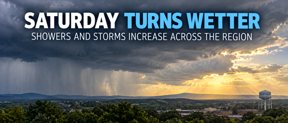
Saturday Turns Wetter: Showers and Storms Increase Across the Region
Saturday will bring a break from the recent heat across Rowan County and the surrounding region, but the tradeoff will be a much better opportunity for showers and thunderstorms.
Rain chances will increase through the day, with the greatest coverage expected during the afternoon and early evening. Some communities could pick up locally heavy rainfall, while others may receive considerably less.
The good news is that the overall severe thunderstorm threat remains low. However, an isolated stronger storm cannot be completely ruled out.
Showers and Storms Increase This Afternoon
Plenty of moisture is available across the region as an upper-level disturbance moves through the Carolinas and interacts with a stalled frontal boundary.
That combination will help showers and thunderstorms become more numerous as Saturday progresses.
For Rowan County, showers will be possible through the morning before thunderstorms become increasingly possible around midday. The greatest coverage is expected after 3 PM. The chance of rain is 70%, with a high near 85 degrees.
Davie County has an 80% chance of rain, with showers and thunderstorms becoming increasingly widespread during the afternoon. Showers and possibly a thunderstorm are expected after 2 PM. The high will be near 85 degrees.
Davidson County also has an 80% chance of rain. The best opportunity for showers and thunderstorms will come during the afternoon and evening, with more numerous activity expected after 4 PM. The high will be near 85 degrees.
Cabarrus County has a 60% chance of rain. Showers will be possible during the morning, followed by increasing thunderstorm chances after 11 AM. Showers become more numerous after 3 PM. The high will be near 86 degrees.
Severe Threat Low, But Not Zero
The atmosphere will have plenty of moisture available Saturday, but instability is expected to remain relatively weak.
That should limit the overall potential for severe thunderstorms.
Still, an isolated stronger storm cannot be completely ruled out. Any stronger thunderstorm could produce gusty winds, frequent lightning and very heavy rainfall over a short period.
The locally heavy rainfall potential may ultimately be a bigger concern than severe weather.
Rainfall Will Not Be Evenly Distributed
One thing to keep in mind Saturday is that rainfall totals could vary considerably over relatively short distances.
Many locations may receive only a few tenths of an inch, while thunderstorms could produce locally higher totals.
Davidson County, in particular, could see considerable variation in rainfall coverage. Some communities may receive a good soaking while others nearby receive considerably less.
That is typical when thunderstorms account for a large portion of the day's rainfall.
Storms Continue Into Saturday Evening
The rain will not immediately end once the sun goes down.
Rowan County has a 60% chance of showers and thunderstorms Saturday night, with the greatest coverage expected before 8 PM.
Davie County also has a 60% chance, with scattered showers and thunderstorms potentially continuing through around 2 AM.
Davidson County maintains an 80% chance Saturday night. Showers and thunderstorms will be most numerous during the evening, although some activity could linger into the overnight hours.
Cabarrus County has a 60% chance Saturday night, with the greatest coverage expected before 9 PM and scattered activity possible through around 2 AM.
Sunday Brings a Quick Improvement
The weather changes quickly Sunday.
Some patchy morning fog will be possible, particularly across areas that receive rain Saturday. Otherwise, clouds should gradually decrease and sunshine return across much of the region.
Temperatures will also rebound.
Highs Sunday are expected to reach around 89 degrees in Rowan, Davie and Cabarrus counties and around 90 degrees in Davidson County.
Most of the region should remain dry.
Another Change Arrives Monday
Monday will be sunny and warm, with highs around 89 to 90 degrees.
A backdoor cold front will then move through the region late Monday. Unlike many cold fronts that approach the Carolinas from the west, this one will push into the area from the north and northeast.
The front is expected to come through mainly dry, but you'll notice the temperature change behind it.
Tuesday highs are forecast to fall to around 82 degrees in Rowan and Davie counties and around 83 degrees in Davidson and Cabarrus counties.
Tuesday night could be especially comfortable, with lows ranging from the upper 50s to lower 60s.
The Bottom Line
Saturday is the main weather day to watch this weekend.
Showers and thunderstorms will become increasingly numerous during the afternoon and early evening, with rain chances ranging from 60% in Cabarrus County to 80% in Davie and Davidson counties.
The severe thunderstorm threat is low, but not zero. An isolated stronger storm will be possible, while locally heavy rainfall could occur underneath some thunderstorms.
Conditions improve considerably Sunday before another warm and sunny day Monday. A dry backdoor cold front then brings noticeably cooler temperatures Tuesday.
I'll continue to keep an eye on Saturday's showers and thunderstorms and provide radar updates as activity develops across the region.