
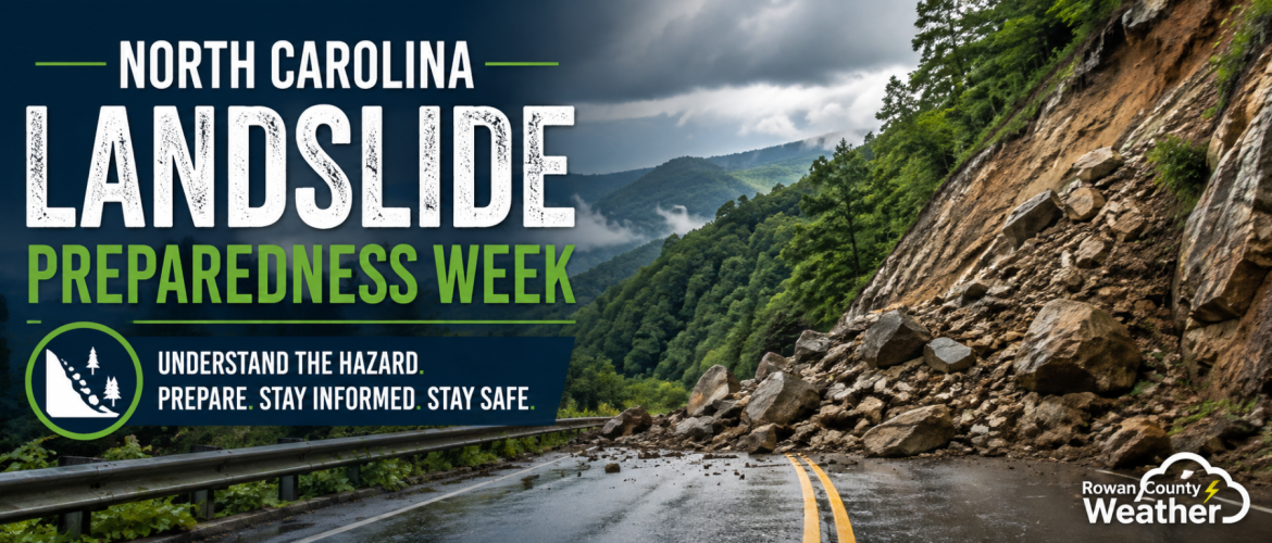
North Carolina Landslide Preparedness Week: Landslide Resources
All week, I've been focusing on landslide awareness and safety as part of North Carolina Landslide Preparedness Week.
We've covered what landslides are, where the greatest danger exists in North Carolina, what to do if a landslide is occurring, and steps you can take to protect yourself and your family.
For our final topic of the week, let's focus on something you can keep and use long after Landslide Preparedness Week ends: landslide resources.
Knowing where to find reliable information can help you understand your risk before heavy rain arrives, learn about previous landslides in an area, prepare your family, and know where to turn when conditions become dangerous.
North Carolina Geological Survey
For North Carolina-specific landslide information, one of the most valuable resources is the North Carolina Geological Survey, which is part of the North Carolina Department of Environmental Quality.
The Geological Survey studies and documents landslides across the state, particularly in western North Carolina where the state's greatest landslide hazards exist.
Its landslide resources include information about:
- Landslide hazards in North Carolina
- Recognizing landslides
- Landslide types
- Causes and triggers
- Rock-slope stability
- Historical North Carolina landslides
- Reports and publications
- Mapping and landslide data
This is an excellent starting point if you want to learn more about the science behind landslides in our state.
North Carolina Geological Survey landslide information:
Explore North Carolina's Landslide Maps
One of the most useful resources available to North Carolinians is the state's landslide mapping information.
The North Carolina Geological Survey maintains an inventory containing information on more than 4,500 landslides.
The state's landslide data viewer includes information about where documented landslides started, approximate outlines of individual slope movements, and deposits left behind by previous debris flows, debris slides, rockfalls, and rockslides.
That information can be valuable for residents, emergency managers, planners, educators, real estate professionals, and anyone trying to better understand the landslide history of an area.
The mapping resources can be especially useful if you live in western North Carolina or regularly visit the mountains.
Keep one thing in mind, however: A map showing no previously documented landslide at a particular location does not automatically mean there is no landslide hazard there.
Landslides in Western North Carolina
The North Carolina Geological Survey also provides a dedicated resource focused on Landslides in Western North Carolina.
It allows users to explore current and historical information and learn more about landslide hazards across the region.
You can find it at:
https://www.landslidesncgs.com/
If you own property in the mountains, are considering purchasing property there, or regularly visit western North Carolina, this is a resource worth knowing about.
U.S. Geological Survey Landslide Hazards Program
For a nationwide perspective, the U.S. Geological Survey Landslide Hazards Program provides extensive information about landslide science, preparedness, monitoring, maps, research, and historical events.
The USGS explains that landslides occur in all 50 states and U.S. territories. Their frequency and severity vary considerably depending on geology, terrain, climate, and other factors.
The Landslide Hazards Program includes resources covering:
- Landslide basics
- Preparedness
- Landslide maps
- Monitoring
- Research
- Data
- Event summaries
- Educational materials
- Landslide publications
You can explore the USGS Landslide Hazards Program here:
https://www.usgs.gov/programs/landslide-hazards
U.S. Landslide Inventory and Susceptibility Map
The USGS also provides an interactive U.S. Landslide Inventory and Susceptibility Map.
This national resource combines information about known landslide locations with information about areas that may be susceptible to landslides.
It can provide a broader look at landslide hazards across the country and help illustrate why mountainous areas such as western North Carolina face a greater risk.
Remember that landslide inventories aren't necessarily complete. The absence of a documented landslide on a map doesn't guarantee that a slope is safe.
ReadyNC
Preparedness isn't only about understanding geology. It's also about knowing what you'll do during an emergency.
ReadyNC provides North Carolina residents with information about preparing for hazards and emergencies.
Your household should have an emergency plan, know how family members will communicate, have necessary supplies available, and understand where you would go if officials ordered an evacuation.
That preparation is useful for much more than landslides. The same basic emergency planning can help during hurricanes, floods, severe storms, winter weather, and other disasters.
Your Local Emergency Management Agency
When an immediate threat develops, local information becomes extremely important.
Your county or municipal emergency management agency can provide information about local hazards, evacuations, road closures, shelters, and emergency response.
If officials issue an evacuation order because of a landslide or debris-flow threat, don't wait until you can see the hillside moving.
Follow those instructions promptly.
Local law enforcement, fire departments, transportation officials, and emergency management agencies may also provide critical information when roads or communities are affected.
National Weather Service
Because heavy and prolonged rainfall can trigger landslides and debris flows, weather information is an important part of landslide preparedness.
Pay attention when significant rainfall is forecast for mountainous terrain, particularly when the ground is already saturated.
Flood Watches, Flash Flood Warnings, and other weather information can provide important clues that conditions are becoming dangerous.
A flash flood threat in steep terrain isn't necessarily only about rising water. Water, mud, rocks, trees, and other debris can create additional hazards.
Don't Depend on Just One Source
One lesson that applies to nearly every weather or natural disaster is the importance of having multiple ways to receive information.
Don't depend solely on social media.
Don't depend solely on an outdoor warning siren.
And don't assume you'll always have electricity, internet service, or a strong cellular connection during an emergency.
Have several ways to receive important information, especially when significant weather is expected.
When Should You Contact a Professional?
Online maps and preparedness information can help you understand the hazard, but they aren't substitutes for a professional evaluation of a specific property.
If you're concerned about the stability of a slope near your home or property, consider contacting a qualified geologist or engineer with experience evaluating landslide hazards.
This is particularly important if you're seeing changes such as new cracks, leaning trees or retaining walls, unusual water movement, bulging ground, or other evidence that a slope may be moving.
Don't attempt major drainage changes or slope stabilization projects based solely on something you read online. Improper work could potentially make an unstable slope worse.
Landslide Preparedness Doesn't End Today
That brings us to the end of our North Carolina Landslide Preparedness Week series, but landslide awareness shouldn't disappear when the week ends.
Over the past several days, we've discussed:
What is a landslide?
Understanding how rock, soil, and debris can move downhill and why rainfall can be an important trigger.
Are you in the landslide danger zone?
Recognizing why western North Carolina's mountains and foothills face the greatest hazard and why travelers should understand the risk too.
Landslide? Stay inside!
Knowing how to protect yourself if a landslide is already occurring and understanding the difference between sheltering during an active slide and evacuating beforehand when instructed.
Protect yourself from landslides.
Watching for warning signs, making an emergency plan, knowing when to evacuate, and remaining cautious after a landslide occurs.
And finally:
Know your resources.
Reliable information is available before, during, and after a landslide. Take some time to explore these resources before you need them.
Landslides may not be an everyday concern for most people across the Piedmont, but they're an important part of North Carolina's natural hazards — especially in our mountains.
Whether you live in western North Carolina, own property there, or simply visit the mountains for a weekend getaway, understanding the hazard can help you make better decisions when heavy rain arrives.
Know the hazard. Know your surroundings. Know where to get reliable information. And know what you'll do before the ground starts moving.