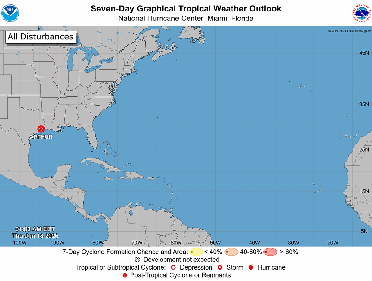
My Latest Update: Arthur's Remnants Bring Heavy Rain, Gusty Winds, and a Severe Weather Risk Tonight
After reviewing the latest National Weather Service briefing early this morning, my confidence continues to increase that the remnants of Tropical Storm Arthur will move across the western Carolinas tonight and bring a period of widespread rain, gusty winds, and a low-end severe weather threat to Rowan, Davie, and Davidson counties.
While this is not expected to be a major tropical event for our area, it does have the potential to create travel impacts overnight and into Friday morning, especially where heavier bands of rain develop.
What I'm Watching Most Closely
The biggest concern remains a period of moderate to heavy rainfall from late this evening through early Friday morning as Arthur's remnants cross the region. The National Weather Service notes that confidence is increasing that the center of the remnant circulation will track through the western Carolinas overnight.
Most of the rain is expected to fall within a relatively short window, possibly just one to three hours in some locations. That could lead to rapid runoff, ponding of water on roads, and isolated flash flooding concerns despite the ongoing drought. The recent rainfall we've received has improved soil moisture enough that drought conditions may not completely offset flooding concerns from heavier rainfall rates.
At this time, I expect most communities across Rowan, Davie, and Davidson counties to receive beneficial rainfall, with some areas potentially picking up one to three inches where heavier bands develop.
Severe Weather Threat Remains Low but Not Zero
In addition to the rain, I will be monitoring the potential for isolated severe weather.
The primary severe weather threat would be damaging wind gusts. The National Weather Service indicates that a few storms could become strong enough to produce damaging straight-line winds, particularly from late afternoon through the overnight hours.
There is also a very low but non-zero tornado threat associated with the remnant circulation. While the highest risk appears to remain south and southwest of our immediate area, these tropical systems can occasionally produce brief spin-up tornadoes with little warning.
The timeframe I'll be watching most closely is between 5 PM and 2 AM.
Windy Conditions Develop Before the Rain
Even before the rain arrives, gusty southwest winds will be a factor today.
Sustained winds of 15 to 20 mph are expected with gusts frequently reaching 25 to 35 mph during the afternoon. These winds are not directly tied to thunderstorms and will occur well ahead of Arthur's arrival.
Combined with ongoing drought conditions, these winds are contributing to the Increased Fire Danger Statement that remains in effect today across much of central North Carolina.
My Bottom Line
Today will be a day of two very different weather stories.
This afternoon will feature hot temperatures, gusty winds, and elevated fire danger. Then tonight, attention shifts to Arthur's remnants as widespread rain and embedded thunderstorms move through the region.
The good news is that this rainfall will be beneficial for many areas dealing with drought conditions. However, periods of heavy rain, isolated flooding, gusty winds, and a low-end severe weather threat mean this is a system worth monitoring closely.
I'll continue tracking the latest trends throughout the day and provide updates if the forecast changes or if any watches or warnings are issued for Rowan, Davie, or Davidson counties.