Strong to Severe Thunderstorms Possible Across Rowan County and the Western Carolinas This Afternoon and Evening
The National Weather Service in Greenville-Spartanburg is warning that strong to severe thunderstorms will be possible across Rowan County and much of the western Carolinas this afternoon and evening, with damaging wind gusts serving as the primary threat.
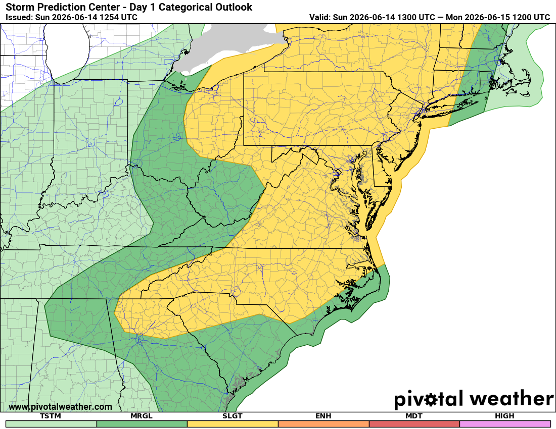
Scattered thunderstorms are expected to develop during the afternoon hours and continue into the evening. While not every location will experience severe weather, a few storms could become strong enough to produce damaging straight-line winds. The National Weather Service continues to highlight the region for the potential of severe weather today.
Timing of the Threat
The severe weather threat is expected to begin developing during the early afternoon across the mountains and foothills before spreading eastward into the Piedmont through the evening hours.
According to the latest briefing, the overall window for severe weather extends from approximately 2 PM through 9 PM. Areas farther west could begin seeing storms as early as 1 PM, while locations across the Piedmont, including Rowan County, may see the greatest potential between 3 PM and 9 PM.
Main Hazard: Damaging Winds
Damaging straight-line winds are expected to be the primary hazard with any severe thunderstorm that develops today. While widespread severe weather is not anticipated, scattered storms may be capable of producing wind gusts strong enough to bring down tree limbs, cause isolated power outages, and create hazardous travel conditions.
The latest briefing notes there is less confidence regarding exactly where the strongest storms will occur, but confidence remains high that at least scattered strong to severe thunderstorms will develop somewhere across the region this afternoon and evening.
Hot and Humid Conditions Before Storms Develop
Before thunderstorms arrive, temperatures will climb well into the 90s across the region. The combination of heat and humidity will make conditions feel even warmer during the afternoon.
Anyone spending time outdoors should stay hydrated, take frequent breaks in the shade or air conditioning, and remain alert for changing weather conditions later in the day.
Stay Weather Aware
With outdoor activities taking place across Rowan County and the surrounding area this afternoon and evening, now is a good time to review your severe weather safety plan.
Have multiple ways to receive weather warnings, especially if you will be away from home. Remember that severe thunderstorms can develop quickly, and damaging wind gusts can occur with little warning.
Rowan County Weather will continue monitoring conditions throughout the day and provide updates as storms begin to develop.
Key Takeaways
- Strong to severe thunderstorms are possible this afternoon and evening.
- The primary threat will be damaging straight-line winds.
- The greatest threat window for Rowan County appears to be between 3 PM and 9 PM.
- Not everyone will see a storm, but any storm that develops could become strong.
- Stay weather aware and have multiple ways to receive warnings.