
Increased Fire Danger Wednesday Across Central North Carolina
WHAT HAS CHANGED
- An Increased Fire Danger Statement has been issued for Wednesday across central North Carolina.
- Stronger winds and very dry air will create a higher risk for wildfire spread.
KEY MESSAGES
- Elevated fire danger is expected from Wednesday morning through Wednesday evening.
- Very low humidity (15–30%) and gusty winds (up to 30 mph) will create dangerous fire conditions.
- A statewide burn ban remains in effect—no outdoor burning is allowed.
AREAS INCLUDED
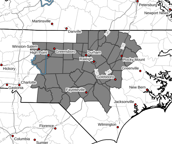
This includes much of central North Carolina, including:
Person, Granville, Vance, Warren, Halifax, Forsyth, Guilford, Alamance, Orange, Durham, Franklin, Nash, Edgecombe, Davidson, Randolph, Chatham, Wake, Johnston, Wilson, Stanly, Montgomery, Moore, Lee, Harnett, Wayne, Anson, Richmond, Scotland, Hoke, Cumberland, and Sampson counties.
Major cities impacted include:
Raleigh, Durham, Greensboro, Winston-Salem, High Point, Burlington, Chapel Hill, Cary, Fayetteville, Rocky Mount, Goldsboro, Sanford, Asheboro, Lexington, and surrounding communities.
DISCUSSION
Fire weather concerns will increase significantly across central North Carolina on Wednesday.
Relative humidity values are expected to drop as low as 15 to 30 percent, which is exceptionally dry for this time of year. At the same time, west winds will strengthen with gusts up to 30 mph, creating an environment where fires can start easily and spread rapidly.
Dry grasses, fallen leaves, and other vegetation remain highly combustible due to ongoing dry conditions. Under these conditions, even a small spark can quickly grow into a fast-moving fire.
BURN BAN IN EFFECT
A statewide burn ban has been issued by the North Carolina Forest Service.
- All open burning is illegal
- This includes burning yard debris, fire pits, and any outdoor flames
Residents and visitors are urged to follow all restrictions and take extra precautions.
SAFETY REMINDERS
- Properly dispose of cigarette butts and matches
- Avoid parking vehicles on dry grass or leaves
- Use caution with equipment that could create sparks
- Do not attempt any outdoor burning
TIMING
- Start: Wednesday morning
- Peak: Wednesday afternoon (lowest humidity + strongest winds)
- End: Wednesday evening
FINAL TAKEAWAY
Wednesday will bring a combination of very dry air, strong winds, and dry fuels—a setup that supports rapid wildfire growth and spread.
Even though the weather will feel warm and pleasant, conditions will be dangerous for fire activity. Follow the burn ban and use caution outdoors.
Please let our local sponsors know that you appreciate their support of our blog. Take a moment to visit their website linked at the top of this post.
Share this:

Announcements & Events
Check back often for important announcements and events that I'll be involved in!