No Severe Weather Expected Friday
The Storm Prediction Center has issued its Day 3 Convective Outlook for Friday into early Saturday morning, and the headline is clear:
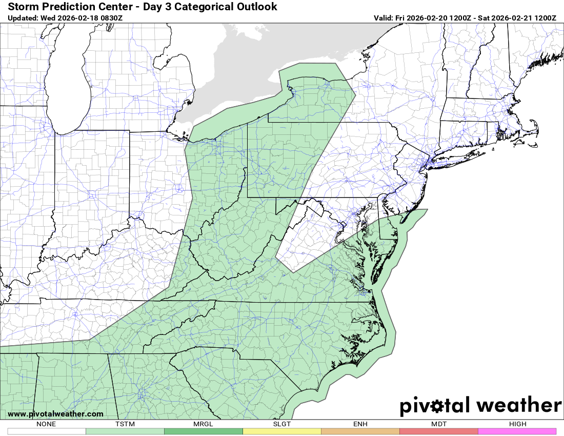
No severe thunderstorm areas are currently forecast.
Severe weather probabilities remain below 5 percent nationwide.
Overview
A mid-level system will move east toward the Lower Great Lakes on Friday, with a weakening surface low and a trailing cold front extending southward toward the Carolinas and Gulf Coast.
That frontal boundary is expected to gradually stall near or across parts of the Carolinas by early Saturday morning. As this occurs, low-level moisture will return northward from the Gulf of Mexico along and south of the boundary.
While showers and possibly some thunderstorms are expected along this front, the overall environment does not currently appear supportive of widespread severe weather.
Why Severe Weather Is Not Expected
Several limiting factors are in place:
• Warm air aloft may suppress stronger storm development
• Lower and mid-level lapse rates are forecast to remain weak
• Most unstable CAPE values appear modest at best
• While deep-layer wind shear will likely be strong, instability remains questionable
In short, the atmosphere may have sufficient wind shear for organized thunderstorms, but lacks the instability typically required for severe storm development.
Is There Any Risk?
At this time, the Storm Prediction Center characterizes the severe threat as conditional. That means stronger storms would require more instability than current guidance indicates.
The SPC notes that this could change in later outlook updates, particularly across parts of the Gulf Coast states. However, as of this issuance, no organized severe weather areas are highlighted anywhere in the United States.
What To Watch Going Forward
• The exact position of the stalled frontal boundary
• The amount of moisture return from the Gulf
• Whether instability trends higher in future model runs
For now, this appears to be a rain and thunder scenario rather than a severe weather event for the Carolinas.
Rowan County Weather will continue monitoring updates as we move closer to Friday.