
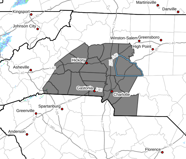
INCREASED FIRE DANGER LATE THIS AFTERNOON INTO EARLY EVENING ACROSS PORTIONS OF WESTERN NORTH CAROLINA.
A cold front will allow gusty winds to develop today, ranging
from 25 to 35 mph. Although scattered rain showers are expected
to track across western North Carolina later this morning, this
will not be enough of a wetting rain to bring relief to dry fuels.
Relative humidity will fall below 30% for a few hours later today
as drier air filters into the region behind the cold front. Dry
fuels, gusty winds, and low relative humidity will all lead to
increased Fire Danger today. Thus, a Fire Danger Statement has
been issued for the North Carolina Foothills and Piedmont from 4
PM to 8 PM this evening.
Please refer to your local burn permitting authorities
whether you may burn outdoors. If you do burn outside, use
extreme caution.
Please let our local sponsors know that you appreciate their support of our blog. Take a moment to visit their website linked at the top of this post.
Share this:

Announcements & Events
Check back often for important announcements and events that I'll be involved in!