
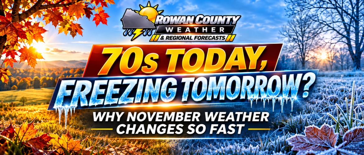
Why November Can Feel Like Spring One Day and Winter the Next in North Carolina
By Steve Monday | Rowan County Weather & Regional Forecast
November 11, 2026
One day you're enjoying sunshine and temperatures in the 70s. A couple of days later, you're reaching for a winter coat and waking up to frost on the windshield.
Welcome to November in North Carolina.
For residents of Rowan, Davie, Davidson, and Cabarrus counties, these dramatic temperature swings are a familiar part of late autumn. November is a transition month when lingering warmth from the south frequently battles increasingly cold air moving down from Canada.
But what causes these changes, and why can they happen so quickly?
The answer involves several important atmospheric features, including the jet stream, cold fronts, and the movement of large air masses across North America.
November Is a Battle Between Seasons
During September and October, much of the southeastern United States can still experience extended periods of warm weather.
By November, however, the Northern Hemisphere is losing daylight, nights are growing longer, and colder air masses are becoming more established across Canada and the northern United States.
Meanwhile, the Gulf Coast and southeastern states can remain relatively mild.
North Carolina often finds itself near the boundary between these contrasting air masses.
Depending on which air mass dominates, our temperatures can resemble either early October or the middle of winter.
That's why November weather can sometimes feel like a tug-of-war between seasons.
The Jet Stream: The Atmosphere's Highway
One of the biggest influences on November weather is the jet stream.
The jet stream is a relatively narrow corridor of powerful winds located high in the atmosphere, often around 30,000 feet above the ground.
These winds help steer weather systems across North America.
The jet stream doesn't travel in a perfectly straight line. Instead, it develops large northward and southward bends.
When the jet stream bends northward over the eastern United States, warmer air can spread into North Carolina.
When it dips southward, colder air from Canada can move into the Southeast.
These shifts can dramatically change our weather over just a few days.
Think of the jet stream as a winding highway that helps determine which air masses reach our region.
Cold Fronts Can Change Everything
A cold front marks the leading edge of an advancing colder air mass.
Ahead of the front, winds often blow from the south or southwest, transporting warmer air into the Piedmont.
Once the front passes, winds commonly shift toward the west or northwest as cooler air moves into the region.
Depending on the strength of the front and the temperature difference between the air masses, afternoon highs can drop considerably from one day to the next.
For example, a community enjoying temperatures in the lower 70s might struggle to reach the middle 50s just 48 hours later.
That doesn't necessarily mean anything unusual is happening. It's often simply the result of one air mass replacing another.
Why Some Cold Fronts Bring Rain and Others Don't
We often associate cold fronts with showers and thunderstorms.
However, not every cold front produces significant rainfall.
Precipitation requires sufficient atmospheric moisture and a mechanism to lift that moisture into clouds.
When moisture is limited, a cold front may pass through with little more than increasing winds, a few clouds, and falling temperatures.
In other situations, a stronger system with abundant moisture can produce widespread rain or thunderstorms.
That's why a major temperature change doesn't automatically mean a major rain event.
Why November Winds Can Become Gusty
Have you noticed how breezy some November afternoons can become?
Strong cold fronts often separate air masses with significant differences in temperature and atmospheric pressure.
When pressure changes rapidly over a relatively short distance, stronger winds can develop.
Daytime heating can also help mix faster-moving air from above the surface down toward the ground.
This combination can produce gusty conditions, particularly during and immediately after a frontal passage.
As colder high pressure settles into the region, winds often gradually decrease.
Why the Mountains Sometimes Get Snow While We Stay Dry
Another interesting feature of November weather is how differently the same weather system can affect various parts of North Carolina.
When cold northwest winds cross the Appalachian Mountains, moisture can sometimes produce snow showers along the higher elevations and western slopes.
Meanwhile, air descending toward the Piedmont can become drier.
As a result, the mountains may experience snow while Salisbury, Mocksville, Lexington, and Concord remain dry under partly cloudy or sunny skies.
Elevation also matters. Higher elevations are generally colder, making snow more likely in the mountains even when Piedmont temperatures remain above freezing.
A mountain snow forecast does not automatically translate into snow for central North Carolina.
Can November Bring Severe Weather?
Yes.
Although spring is often considered North Carolina's primary severe weather season, autumn can also produce thunderstorms capable of damaging winds and isolated tornadoes.
When warm, moist air moves northward ahead of a strong cold front, the atmosphere can occasionally become unstable enough to support thunderstorms.
If strong wind shear is also present, some storms may become severe.
These ingredients do not come together with every November cold front, but the possibility is one reason meteorologists continue monitoring storm systems closely during autumn.
What Does This Mean for Our Current Forecast?
We're seeing another example of November's changing seasons this week.
Wednesday has brought mild weather across the region, with afternoon temperatures generally reaching the lower 70s.
Thursday is expected to remain relatively mild but become breezy as a cold front moves through.
By Friday and Saturday, afternoon temperatures should be considerably cooler, generally in the 50s.
The colder air will also increase the potential for freezing temperatures during the weekend and early next week, particularly in rural and sheltered locations.
This is a classic example of how quickly the atmosphere can transition from autumn warmth to winterlike cold.
Does a Cold November Mean a Cold Winter?
Not necessarily.
A brief period of unusually cold weather in November does not determine what the rest of winter will bring.
Long-range seasonal patterns depend on numerous factors, including ocean temperatures, atmospheric circulation, and the frequency and position of major weather systems.
A cold snap can occur during an otherwise mild season, just as a warm spell can occur during a colder-than-average winter.
Individual weather events and seasonal climate trends are two different things.
The Bottom Line
November is one of North Carolina's most changeable weather months because the atmosphere is transitioning from the warmth of autumn toward the colder patterns of winter.
The jet stream shifts, cold fronts become stronger, and contrasting air masses frequently move across the eastern United States.
For our four-county region, that means temperatures in the 70s can quickly give way to frosty mornings and afternoons in the 50s.
So if you find yourself wearing short sleeves one day and a winter coat just a couple of days later, there's a scientific explanation.
It's simply November in North Carolina.
Rowan County Weather & Regional Forecast will continue tracking these changing weather patterns and providing forecasts for Rowan, Davie, Davidson, and Cabarrus counties.