
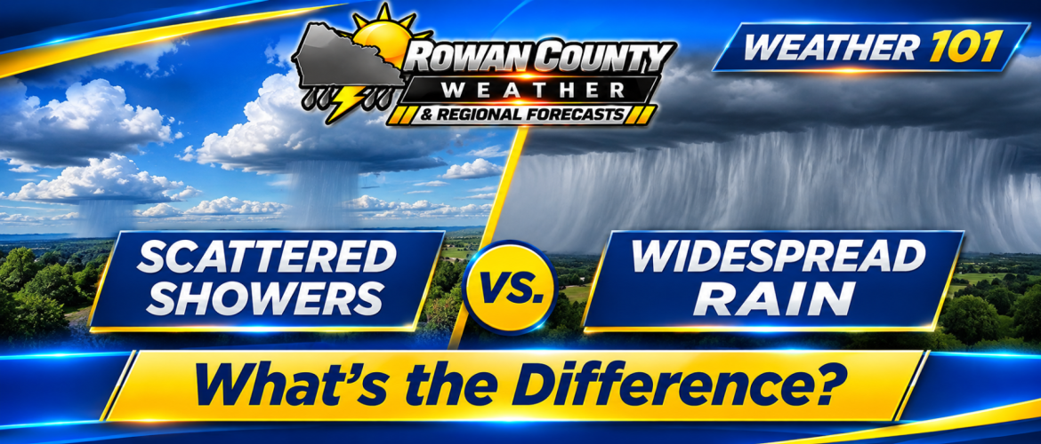
Scattered Showers vs. Widespread Rain: What's the Difference?
Rowan County Weather & Regional Forecasts | Weather 101 | November 4, 2026
When you hear a forecast calling for scattered showers, what does that actually mean? And how is that different from widespread rain?
With rainfall opportunities returning to Rowan, Davie, Davidson, and Cabarrus counties this week, understanding these terms is particularly important.
Many communities across our region have been dealing with dry conditions, and while any rainfall is welcome, not every type of rain event provides the same benefits.
Let's break down the differences and explain what they mean for our local forecast.
What Are Scattered Showers?
Scattered showers are areas of precipitation that develop or move through portions of a region without covering every location.
Imagine looking at a radar image and seeing several separate patches of green and yellow, with areas of little or no precipitation between them.
That's a typical scattered-shower pattern.
Under these conditions, one neighborhood might receive a brief downpour while another community just a few miles away stays completely dry.
For example, showers could develop around Mocksville and western Rowan County while Salisbury and Concord experience little or no rainfall.
The opposite could also happen.
The important point is that scattered showers do not necessarily affect everyone, and rainfall totals can vary significantly.
What Is Widespread Rain?
Widespread rain covers a larger geographic area, with precipitation affecting most or nearly all communities within the region during the event.
Instead of separate showers appearing across radar, you may see a broad area of precipitation extending across several counties.
Widespread rain can occur when a large weather system supplies moisture and lift over an extended area.
However, widespread does not automatically mean heavy.
A widespread rain event might produce several hours of light or moderate rainfall. In some cases, that can be more beneficial than a brief, intense downpour.
Widespread also doesn't mean rain falls continuously or at the same intensity everywhere.
Why Does the Difference Matter?
Consider two possible situations.
Scenario One: Scattered Showers
A few showers develop across our region during the afternoon.
Some communities receive a quarter-inch of rainfall, others get a brief sprinkle, and several locations receive nothing measurable.
Although rain occurred somewhere in the region, many communities remain dry.
Scenario Two: Widespread Rain
A larger area of precipitation moves across all four counties.
Most communities experience several hours of light to moderate rainfall.
Individual totals still vary, but more locations have an opportunity to receive measurable precipitation.
These are hypothetical examples, not predicted rainfall amounts for this week's system.
For communities dealing with dry conditions, the second scenario generally offers a better opportunity for more consistent rainfall coverage.
Does a High Rain Chance Mean Widespread Rain?
Not necessarily.
A forecast probability of precipitation tells us the likelihood of measurable rain at a particular location during a specified period.
It does not directly tell us how long it will rain, how intense the rainfall will be, or exactly how much will accumulate.
For example, a 90% chance of rain means there is a 90% probability that a particular location will receive at least 0.01 inch of precipitation during the forecast period.
It does not mean rain will cover 90% of the county or continue for 90% of the day.
Rainfall coverage and rainfall probability are related concepts, but they are not interchangeable.
A high rain probability can occur even when showers are intermittent rather than continuous.
What About Thunderstorms?
Thunderstorms introduce another factor: rainfall intensity.
A thunderstorm can produce heavy rain over a relatively small area.
One community may receive a substantial amount of rain in a short period while another location nearby receives much less.
Even when thunderstorms develop within a larger rain system, the heaviest totals often occur where the strongest cells move.
Storms that repeatedly pass over the same area can create particularly large differences in rainfall totals.
This is why meteorologists monitor not only the probability of rain but also the location, movement, and intensity of thunderstorms.
What Are We Expecting Across Our Four Counties?
The latest forecast guidance suggests that rain will return in stages rather than through one continuous rain event.
Wednesday Evening and Overnight
Scattered showers are expected to become possible as moisture increases across the western Piedmont.
Not every community is guaranteed to receive measurable rainfall during this first round.
Thursday
Additional scattered showers are possible, along with an isolated thunderstorm.
Coverage may remain uneven, with some communities receiving more rainfall than others.
Friday
A stronger weather disturbance and approaching cold front should provide a better opportunity for more widespread showers.
A few thunderstorms are also possible, particularly from late morning through the afternoon.
Friday currently offers the most promising opportunity for a more organized rainfall event, although exact totals and the placement of heavier rain remain uncertain.
Saturday and Sunday
Drier conditions are expected to return as the cold front moves away from the Carolinas.
Will Widespread Rain Help With Our Dry Conditions?
Widespread rainfall can be beneficial because it provides more communities with an opportunity to receive moisture.
However, the actual benefits depend on several factors.
Rainfall amount matters. A tenth of an inch may temporarily dampen the ground without substantially improving deeper soil moisture.
Rainfall duration matters. Moderate rain falling over several hours can allow more water to soak into the soil.
Rainfall intensity matters. Very heavy rain falling in a short period may produce runoff rather than soaking into the ground.
And repeated rainfall matters. When dry conditions have developed over an extended period, multiple beneficial rain events are often needed for more substantial improvement.
One rainy day does not necessarily eliminate drought or longer-term moisture deficits.
What We'll Be Watching
As the system approaches, Rowan County Weather & Regional Forecasts will continue monitoring:
-
Whether showers remain scattered or become more widespread.
-
How rainfall coverage changes across Rowan, Davie, Davidson, and Cabarrus counties.
-
The potential for locally heavy rainfall and thunderstorms.
-
Which communities receive the greatest rainfall totals.
-
Whether this week's precipitation provides meaningful relief from dry conditions.
We'll also continue providing radar updates as rain approaches and moves through our coverage area.
The Bottom Line
Scattered showers mean rainfall is distributed unevenly, with some communities getting wet while others remain dry.
Widespread rain affects a larger portion of the region, although totals and intensity can still vary.
For our four-county region, the forecast currently favors scattered rainfall opportunities Wednesday night and Thursday, followed by a better chance of more widespread precipitation Friday.
And for communities that need rain, the biggest question isn't simply whether showers develop.
It's whether enough rain falls, over enough locations, to make a meaningful difference.
Rowan County Weather & Regional Forecasts
Helping you understand the weather, not just forecast it.