
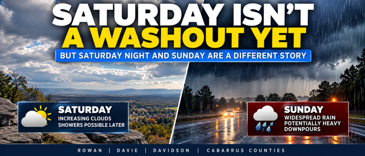
Saturday Isn't a Washout Yet — But Saturday Night and Sunday Are a Different Story
Thursday, October 8, 2026 | Rowan County Weather Regional Forecasts
If you have outdoor plans this weekend across Rowan, Davie, Davidson, or Cabarrus counties, there's some encouraging news about Saturday. However, there's also an increasingly important reason to pay attention to the forecast for Saturday night and Sunday.
The latest forecast trends continue to suggest that much of Saturday, particularly the morning and early afternoon, could remain usable for outdoor activities. Clouds will be increasing, temperatures will be considerably cooler, and a few showers may develop during the afternoon.
But the more widespread rainfall is still expected to arrive Saturday night, continuing into Sunday.
And that's an important distinction that could make a big difference for weekend plans.
Saturday's Rain Chances Aren't the Same as Saturday Night's
One of the biggest challenges with communicating weekend weather is explaining what a daily precipitation probability actually represents.
When you see a 30% chance of rain on Saturday's forecast graphic, that doesn't mean there's only a 30% chance of rain throughout Saturday night.
It means the probability applies to the daytime period.
For Saturday, October 10, my current daytime precipitation probabilities are:
-
Rowan County: 30%
-
Davie County: 30%
-
Davidson County: 30%
-
Cabarrus County: 40%
The slightly higher probability for Cabarrus County reflects the possibility that showers could begin a little earlier across the southern and southeastern portions of the region.
These differences are relatively small, and I don't expect a dramatic dividing line between counties where one location is experiencing completely different weather from its neighbors.
The main message is that Saturday morning currently offers the better opportunity for outdoor plans, while the possibility of showers increases later in the afternoon.
By Saturday evening and overnight, the forecast changes considerably.
Rain becomes much more likely across all four counties, with probabilities approaching or exceeding 90% in some areas.
What's Driving the Change?
There are several important pieces coming together in our weather pattern.
First, cooler northeast winds will begin pushing into the region Friday and Saturday. This could establish what meteorologists call a Carolina wedge, or cold-air damming.
Essentially, cooler and denser air becomes trapped along the eastern side of the Appalachian Mountains. That cooler air can be difficult to dislodge, particularly when clouds develop and limit daytime heating.
Meanwhile, deeper moisture associated with a tropical weather system in the Gulf region is expected to move northward into the Southeast.
An approaching weather disturbance will help lift that moisture, increasing the potential for widespread rainfall across the Carolinas.
The interaction between these features will help determine exactly when rain begins, how long it lasts, and where the heaviest amounts occur.
Saturday Could Be Cooler Than Currently Forecast
Rain timing isn't the only uncertainty I'm watching.
Saturday's temperatures could also be tricky.
My current forecast highs are:
-
Rowan County: 72°
-
Davie County: 70°
-
Davidson County: 71°
-
Cabarrus County: 72°
However, some guidance suggests temperatures could struggle to get out of the 60s if the Carolina wedge becomes firmly established.
That possibility is important because a stronger wedge could mean a cooler, cloudier Saturday than the current forecast indicates.
It's something I'll be evaluating closely as new information becomes available.
Sunday Still Looks Like the Wettest Day
While Saturday's forecast still offers some opportunities for outdoor activities, Sunday is a different story.
I'm currently forecasting a 90% daytime chance of rain across Rowan, Davie, Davidson, and Cabarrus counties.
Periods of rain are likely, and some heavier downpours will be possible.
That doesn't necessarily mean it will rain continuously at every location throughout the entire day. There could be breaks or periods of lighter precipitation.
However, the overall pattern strongly favors widespread rainfall.
A few thunderstorms could also develop, depending on how much atmospheric instability becomes available. The cooler air associated with the Carolina wedge could limit thunderstorm development in some locations.
For now, widespread rain remains the primary concern.
How Much Rain Could We Receive?
My preliminary regional rainfall outlook remains around 1 to 2 inches, with locally higher amounts possible.
That range is not a guarantee for every location.
Some communities could receive less rainfall, while others could experience heavier downpours that push totals higher.
The speed of the approaching weather system will be particularly important.
If the system moves through more quickly, the duration of widespread rainfall could be shorter. If heavier bands develop or move slowly across portions of the region, rainfall totals could increase.
Localized drainage problems and ponding on roads could become concerns wherever heavier rainfall develops.
I'll continue evaluating the rainfall projections as confidence improves.
What Happens After the Weekend?
The unsettled weather pattern should begin moving away from our region late Sunday into Monday.
A few lingering showers cannot be completely ruled out early Monday, but improving conditions are expected.
Sunshine should gradually return, with afternoon temperatures recovering toward 80 degrees.
My current Monday highs range from 79° in Rowan County to 82° in Cabarrus County.
So while Saturday and Sunday will bring a significant change from today's warm sunshine, the cooler and wetter conditions aren't expected to dominate the entire upcoming week.
Should You Cancel Saturday Plans?
Based on the forecast as it stands Thursday morning, I would not automatically cancel outdoor activities scheduled for Saturday morning or early afternoon.
Those periods currently offer the better opportunity for avoiding rainfall.
However, I would encourage anyone with outdoor plans later Saturday afternoon or Saturday evening to have an alternative available.
And if your event is scheduled for Sunday, the forecast is much less favorable.
The important thing is to continue monitoring updates because relatively small changes in the arrival time of the moisture could make a noticeable difference for Saturday activities.
The Bottom Line
Here's where things stand Thursday morning:
Saturday morning and early afternoon still look like the better opportunities for outdoor plans.
Showers become possible later Saturday afternoon, with daytime rain chances ranging from 30% to 40% across our four counties.
Rain chances increase substantially Saturday night as more widespread rainfall develops.
Sunday continues to look like the wettest day, with a 90% chance of precipitation across the region.
Rainfall amounts around 1 to 2 inches remain possible, although totals will vary.
And Saturday's temperatures could trend cooler if the Carolina wedge becomes stronger than expected.
The weekend forecast is becoming clearer, but there are still important details to resolve.
I'll continue monitoring the developing weather pattern, especially the timing of Saturday's rain, the strength of the Carolina wedge, and the potential for heavier rainfall Sunday.
For now, don't write off the entire weekend. Just understand that Saturday daytime and Saturday night are shaping up to be two very different parts of the forecast.
Rowan County Weather — Independent Local Weather Coverage for Rowan, Davie, Davidson, and Cabarrus Counties