
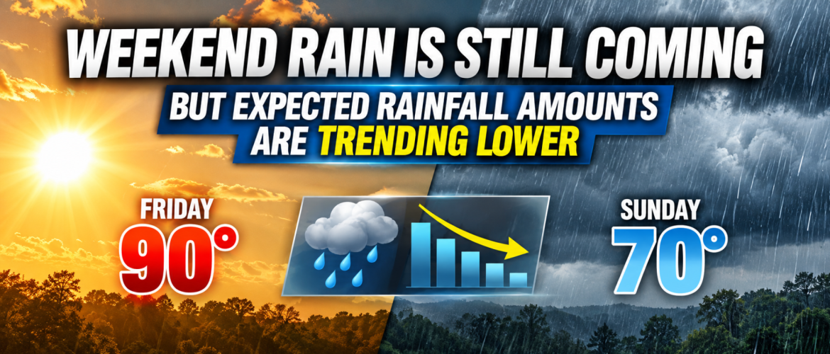
Weekend Rain Is Still Coming — But Expected Rainfall Amounts Are Trending Lower
If you’ve been watching the weekend forecast closely, there is an important change showing up this Wednesday morning.
Rain is still expected across Rowan, Davie, Davidson and Cabarrus counties this weekend. In fact, rain chances remain fairly high for Saturday and especially Sunday.
What has changed is how much rain may fall.
The latest forecast guidance has trended downward with expected rainfall amounts for Saturday through Sunday. That’s good news for anyone concerned about a widespread heavy rain event, but it does not mean the weekend forecast is suddenly turning dry.
Rain Chances vs. Rainfall Amounts
This is an important distinction.
A 70% or 80% chance of rain tells us there is a high likelihood that measurable rain will occur. It does not tell us how much rain will fall.
So we can have a forecast with a very high probability of rain while expected rainfall totals are simultaneously trending lower.
That is essentially what we’re seeing this morning.
Friday Still Looks Mostly Dry
Before the weekend system arrives, we have a couple more days of summerlike weather to get through.
Sunshine dominates today and Thursday, with temperatures climbing well into the 80s. Friday should be the hottest day of the week, with Rowan and Cabarrus counties around 90 degrees and Davie and Davidson counties close behind in the upper 80s.
Most of Friday should remain dry.
A small chance of showers enters the forecast Friday night, but the more meaningful change doesn't arrive until Saturday.
Saturday: Timing Will Matter
A slow-moving cold front will begin moving into the region Saturday.
For Rowan and Davie counties, showers become more likely after around 2 PM. Davidson County also has its higher rain chances developing after 2 PM, while Cabarrus County currently favors showers becoming more likely after about 3 PM.
That means Saturday morning into at least early afternoon still appears to offer the better opportunity for outdoor activities based on the forecast as it stands Wednesday morning.
That doesn't guarantee a rain-free first half of Saturday. It simply means the higher probabilities currently favor later in the day.
By Saturday night, rain becomes much more likely across the region.
Sunday Still Looks Like the Wetter Day
Sunday remains the day I would watch most closely if you have outdoor plans.
Rain chances currently reach 80% across all four counties, with showers expected as the front slowly works through the area.
There will also be plenty of moisture available in the atmosphere. Because of that, locally heavy rainfall will still be possible Saturday night into Sunday, even though overall expected rainfall amounts have come down.
At this point, there isn't a strong signal for widespread heavy rainfall across the entire region.
Instead, some locations could experience heavier downpours while others receive more moderate amounts.
A Few Thunderstorms Are Possible
There may also be a few thunderstorms mixed in with the showers this weekend, particularly Saturday into Saturday night.
However, instability currently looks weak, so this does not appear to be shaping up as a significant thunderstorm event.
The bigger story continues to be the widespread rain and the dramatic temperature change accompanying the front.
From Near 90° to Around 70°
Friday will feel much more like summer than the beginning of October.
Then temperatures tumble.
Rowan County goes from around 90° Friday to 81° Saturday and 70° Sunday.
Davie County goes from 89° Friday to 80° Saturday and 69° Sunday.
Davidson County goes from 89° Friday to 83° Saturday and around 70° Sunday, although temperatures there could eventually trend even cooler depending on how strongly cold-air damming develops.
Cabarrus County goes from around 90° Friday to 83° Saturday and 71° Sunday.
Clouds, rain and cooler air pushing into the Carolinas will make Sunday feel dramatically different from Friday.
What Happens After the Weekend?
The unsettled weather shouldn't stick around for long.
Drier conditions are expected to return Monday as the system moves away. A stronger push of Canadian high pressure then settles into the region.
By Tuesday and Wednesday, temperatures could run roughly 5 to 10 degrees below normal.
So while we're about to experience another brief taste of summer through Friday, the weather behind this weekend's front should feel much more like fall.
The Bottom Line
The weekend forecast has changed somewhat, but probably not in the way you might think.
Rain chances haven't gone away. Expected rainfall amounts have simply trended lower.
Saturday morning into early afternoon currently offers the better window for outdoor plans before rain becomes more likely later Saturday.
Saturday night into Sunday remains the period I'm watching for the greatest coverage of rain and the potential for locally heavy rainfall.
And Sunday continues to look like the wettest and coolest day of the weekend.
I'll continue watching the timing and rainfall trends closely as we get closer, because even relatively small changes in the speed of the front could make a noticeable difference for weekend plans across the region.
— Steve Monday
Rowan County Weather