
Today’s Storm Threat Is Different From Saturday’s — Here’s What You Need to Know
Friday and Saturday both bring thunderstorm chances to the Rowan County Weather coverage area, but the threats associated with those storms are not exactly the same.
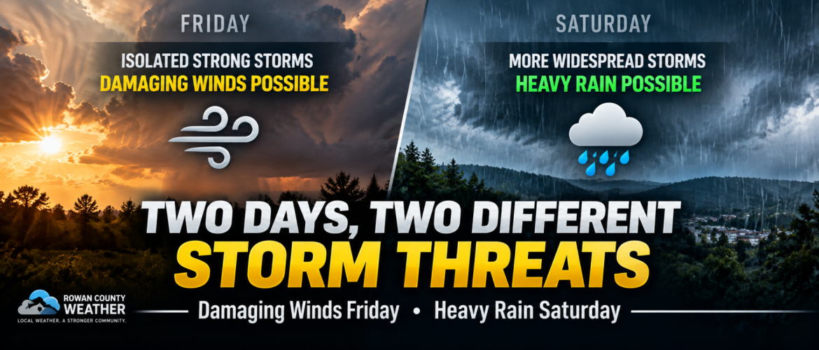
For Friday, the concern is that an isolated thunderstorm could become strong to severe and produce damaging wind gusts. By Saturday, thunderstorms should become more widespread, but the focus shifts increasingly toward locally heavy rainfall.
Here’s what you need to know heading into the weekend.
Friday: Hot, Humid and an Isolated Damaging-Wind Threat
Friday will begin with plenty of sunshine across much of the region as temperatures climb quickly.
Highs will reach the lower 90s across Rowan, Davie, Davidson and Cabarrus counties. The combination of heat and humidity will make it feel even hotter, with heat index values approaching 100 degrees in some areas.
A frontal boundary approaching the Carolinas will help bring shower and thunderstorm chances back into the forecast later Friday.
Storms are not expected to be widespread everywhere, but the atmosphere will become unstable enough to support a few strong thunderstorms.
The biggest concern with any stronger storm will be damaging wind gusts.
Weak wind shear should limit the ability of storms to become highly organized, but the hot atmosphere near the surface could allow individual thunderstorms to produce strong wet microbursts.
A wet microburst occurs when a powerful thunderstorm downdraft reaches the ground and spreads outward, sometimes producing damaging straight-line winds over a relatively small area.
That means most communities may not experience severe weather Friday, but a storm that develops over your location could still pack a punch.
Saturday: More Storms, Different Concern
The setup changes Saturday.
An upper-level disturbance and an area of low pressure moving along the frontal boundary will provide additional lift while atmospheric moisture increases.
Instead of Friday's more isolated storm coverage, showers and thunderstorms should become considerably more numerous Saturday.
Current rain chances include:
- Rowan County: 40% Saturday, increasing to 80% Saturday night
- Davie County: 80% Saturday and 70% Saturday night
- Davidson County: 70% Saturday and 80% Saturday night
- Cabarrus County: 50% Saturday, increasing to 80% Saturday night
The greatest coverage across much of the region appears likely from Saturday afternoon through Saturday night.
Heavy Rain Becomes a Bigger Concern
While an isolated strong storm cannot automatically be ruled out Saturday, the overall severe-weather threat should decrease compared with Friday.
The bigger concern becomes heavy rainfall.
Atmospheric moisture will increase significantly as the system approaches, allowing thunderstorms to produce locally heavy downpours.
Not everyone will receive the same amount of rain.
Some locations could receive only modest rainfall, while communities repeatedly affected by thunderstorms could pick up considerably higher totals over a relatively short period.
Localized ponding of water and minor flooding in poor-drainage locations could become concerns beneath the heaviest storms.
Is Saturday a Washout?
Not necessarily.
Rain and thunderstorms become much more likely Saturday, but that doesn't mean it will rain continuously from sunrise through sunset at every location.
There could be extended periods without rain, particularly earlier in the day.
However, anyone with outdoor plans Saturday should have an indoor alternative available. The likelihood of encountering showers and thunderstorms increases as the day progresses, with Saturday afternoon, evening and night currently looking like the most unsettled portion of the weekend.
Sunday Looks Better
Conditions should begin improving Sunday as the system moves away.
A few lingering showers could remain possible early, followed by only isolated afternoon thunderstorm chances.
Otherwise, Sunday should feature considerably more sunshine with highs generally in the upper 80s.
By Monday, mainly sunny and quieter weather is expected across the region.
The Bottom Line
There are two different weather concerns over the next two days.
Friday: Hot and humid with scattered storm development possible. Storm coverage should be limited, but an isolated strong to severe thunderstorm could produce damaging wind gusts.
Saturday: Cooler, but considerably wetter. Showers and thunderstorms become more widespread, particularly during the afternoon and evening. The severe-weather threat should decrease, while locally heavy rainfall becomes the greater concern.
If you have outdoor plans this weekend, Friday's storms will require keeping an eye on the sky, while Saturday will require more attention to when and where rounds of rain and thunderstorms develop.
Rowan County Weather will continue tracking the latest forecast trends and any changes to the storm threat across Rowan, Davie, Davidson and Cabarrus counties.