
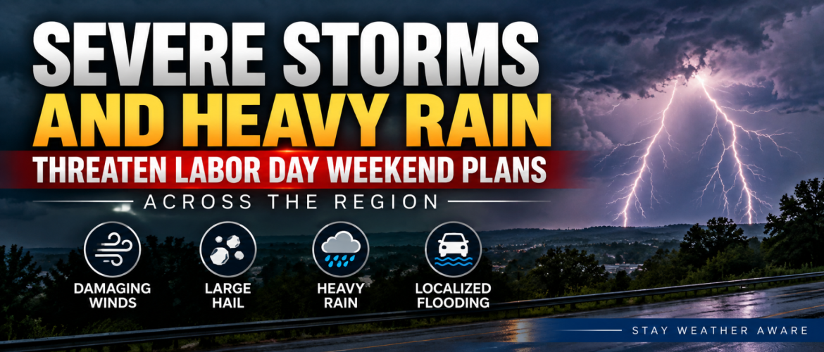
Severe Storms and Heavy Rain Threaten Labor Day Weekend Plans Across the Region
The final day before Labor Day could be an active one across the region, with strong to severe thunderstorms and locally heavy rainfall possible Sunday afternoon, evening and into tonight.
Rowan, Davie, Davidson and Cabarrus counties all have thunderstorms in the forecast, although the exact timing and intensity will vary from one location to another.
For Rowan, Davie and Cabarrus counties, the primary severe weather window looks to be roughly 2 PM through 10 PM. Davidson County could also see strong storms, although the better severe weather potential should favor areas farther west and southwest.
Anyone with outdoor plans Sunday afternoon or evening should keep a close eye on changing weather conditions.
Damaging Winds and Large Hail Are the Main Severe Threats
Atmospheric conditions are expected to become increasingly favorable for organized thunderstorms as the afternoon progresses.
Any storms that become severe will be capable of producing damaging wind gusts and large hail. Hail approaching one inch in diameter will be possible with the strongest storms.
Frequent lightning and torrential rainfall will accompany some thunderstorms as well.
Not everyone will necessarily experience severe weather. Thunderstorms will be scattered, and there could be significant differences in conditions over relatively short distances. However, storms that do become strong could intensify quickly.
Heavy Rain Becomes an Increasing Concern
The severe weather threat is only part of Sunday's story.
Thunderstorms and showers are expected to continue into the evening and, in some locations, well into tonight.
As the atmosphere changes during the evening, thunderstorms could begin moving more slowly. That becomes important because slower-moving storms can dump large amounts of rain over the same area.
Locations receiving multiple rounds of thunderstorms will have the greatest flooding concern.
A Slight Risk for excessive rainfall has been introduced for portions of the region for Sunday into tonight. Localized flash flooding cannot be ruled out, particularly where thunderstorms repeatedly track across areas that have already received heavy rainfall.
Drivers should never attempt to cross a flooded roadway. Water covering a road can be deeper or moving faster than it appears.
What to Expect Across the Region
Rowan County
Showers and thunderstorms become increasingly likely after 2 PM, with a 50 percent chance of rain Sunday. The high will be near 87 degrees.
Strong to severe thunderstorms will be possible during the afternoon and evening, with damaging winds, large hail and heavy rainfall the primary concerns.
Showers and thunderstorms are likely tonight with a low near 65 degrees.
Davie County
Thunderstorm chances begin increasing by late morning and become greatest during the afternoon, particularly after 3 PM. The high will be near 85 degrees with a 60 percent chance of precipitation.
Showers and thunderstorms remain likely into tonight before gradually decreasing toward Monday morning. The overnight low will be near 65 degrees.
Davidson County
Showers and thunderstorms will become increasingly likely through the afternoon, with the best coverage expected during the mid to late afternoon. The high will be near 86 degrees.
An isolated strong to severe storm will be possible, although the greater severe weather threat should favor areas farther west and southwest.
Showers and thunderstorms remain likely during the early evening before gradually diminishing. The overnight low will be near 64 degrees.
Cabarrus County
Clouds will increase through Sunday with a 50 percent chance of showers and thunderstorms after 2 PM. The high will be near 88 degrees.
Strong to severe thunderstorms will be possible during the afternoon and evening.
Showers and thunderstorms become likely tonight with a 70 percent chance of precipitation. General rainfall amounts of one-quarter to one-half inch are possible, although thunderstorms could produce locally higher totals. The overnight low will be near 66 degrees.
Have Multiple Ways to Receive Warnings
With many people spending part of the Labor Day weekend outdoors, it will be especially important to remain weather aware Sunday afternoon and evening.
Do not rely solely on hearing thunder or seeing dark clouds approaching. Thunderstorms can develop and intensify quickly.
Make sure you have multiple ways to receive severe thunderstorm and flash flood warnings. If a warning is issued for your location, move indoors and away from windows until the storm has passed.
Anyone attending outdoor events, cookouts or other gatherings should know where they can quickly seek shelter if thunderstorms approach.
Labor Day Looks Much Better
The good news is that conditions should improve considerably for Labor Day.
High temperatures Monday are expected to reach only the lower 80s across the region, with Rowan and Cabarrus counties near 83 degrees, Davidson County near 83 and Davie County around 82.
There could still be a lingering shower Monday morning in a few locations, but the overall trend will be toward quieter weather.
Drier conditions settle into the region Monday night and should continue through the middle of the week.
Tuesday looks particularly pleasant with sunshine and highs generally in the mid-80s.
The Heat Isn't Finished Yet
While Monday and Tuesday will provide a welcome break from the recent heat and humidity, summer isn't finished.
Temperatures begin climbing again Wednesday before highs return to around 92 degrees across much of the region Thursday.
Another cold front is expected to approach toward the end of the week, potentially bringing the next opportunity for showers and thunderstorms.
For now, the immediate focus remains on Sunday afternoon and evening.
Strong to severe thunderstorms, torrential rainfall and localized flooding will all be possible. Anyone with Labor Day weekend plans should remain weather aware and be prepared to move indoors quickly if storms approach.
Rowan County Weather and Regional Forecast will continue monitoring storm development throughout the afternoon and evening with radar updates and warning information as conditions develop.