
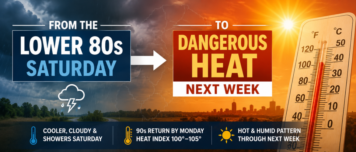
From the Lower 80s Saturday to Dangerous Heat Next Week: What’s Changing?
If Saturday's forecast has you thinking that perhaps summer is finally starting to loosen its grip, don't get too comfortable.
A brief stretch of cooler temperatures this weekend will quickly give way to another significant warming trend across the Piedmont next week. High temperatures that struggle to get much beyond the lower to middle 80s Saturday could climb well into the 90s by the middle of next week.
More importantly, increasing humidity could push heat index values back into dangerous territory.
By Wednesday and Thursday, parts of the region could experience heat index values between 100 and 105 degrees.
So how do we go from a relatively comfortable Saturday to potentially dangerous heat just a few days later?
Saturday Offers a Brief Break
Saturday will be the coolest day of the upcoming stretch across much of the Rowan County Weather coverage area.
Forecast highs include:
Rowan County: 82 degrees
Davie County: 83 degrees
Davidson County: 83 degrees
Cabarrus County: 84 degrees
Cloud cover and another opportunity for showers and thunderstorms will help keep temperatures down.
It will still be humid, and scattered thunderstorms remain possible, so Saturday won't necessarily be a perfect outdoor day. But compared with what's coming next week, temperatures will certainly feel more manageable.
That changes beginning Sunday.
The Pattern Starts Changing Sunday
The unsettled weather pattern responsible for our recent rounds of showers and thunderstorms will begin breaking down.
The upper-level trough helping support our thunderstorms will gradually lift away while high pressure begins building into the Southeast.
As that happens, shower and thunderstorm coverage will decrease.
Sunday becomes the transition day. Highs rebound into the middle to upper 80s, but rain chances become much lower.
By Monday, the transition is largely complete.
Sunshine becomes more abundant, rain chances drop significantly and temperatures begin climbing.
Monday's forecast highs range from around 89 degrees in Rowan County to around 91 degrees in Davidson and Cabarrus counties.
Then we head into the 90s.
A Strong Ridge Builds Across the Southeast
The reason for the dramatic change is happening several thousand feet above our heads.
A strong ridge of high pressure is expected to shift eastward toward the Tennessee Valley and Southeast.
High pressure aloft encourages sinking air. Sinking air makes it more difficult for clouds and thunderstorms to develop and generally favors hotter temperatures at the surface.
At the same time, a Bermuda High-like pattern is expected to develop over the western Atlantic.
That combination will help establish a warm and increasingly humid southwesterly flow across the Carolinas.
Instead of the trough and disturbances helping generate our recent thunderstorms, we'll increasingly find ourselves underneath a large area of high pressure.
That's a classic recipe for summer heat across the Southeast.
Tuesday Is When the Heat Becomes More Noticeable
By Tuesday, forecast highs across our four-county coverage area are already expected to reach the lower 90s.
Rowan County: 93 degrees
Davie County: 92 degrees
Davidson County: 93 degrees
Cabarrus County: 93 degrees
Those temperatures alone would make for a hot afternoon.
But Tuesday may only be the beginning.
Forecast guidance continues to support temperatures climbing further Wednesday and Thursday as the ridge strengthens across the region.
Some portions of central North Carolina could reach the middle to upper 90s.
The Heat Index Becomes the Bigger Concern
Air temperature tells only part of the story.
As moisture increases across the region, humidity will make it more difficult for the human body to cool itself through evaporation.
That's where the heat index becomes important.
The heat index combines temperature and humidity to estimate how hot conditions feel to the human body.
Current guidance suggests heat index values could reach the lower to middle 100s across portions of the Piedmont Wednesday and Thursday.
For areas farther west, including Rowan, Davie and Cabarrus counties, guidance also supports the potential for triple-digit heat index values as the heat and humidity intensify.
Exactly how high the heat index climbs will depend heavily on afternoon dewpoints, so those numbers will become clearer as we get closer.
But confidence continues to increase that next week will become very hot.
This Could Be More Than a One-Day Heat Spike
Another important part of this forecast is the potential duration.
This doesn't currently look like one unusually hot afternoon followed immediately by relief.
The ridge responsible for the heat could remain established across the Southeast through much of next week.
That means several consecutive days of temperatures in the 90s are possible.
Overnight temperatures will also become warmer, limiting how much relief we receive after sunset.
That cumulative heat can become increasingly important for people who work outside, athletes practicing outdoors and anyone without reliable access to air conditioning.
Could Heat Advisories Be Needed?
It's too early to know exactly where advisories might eventually be issued, but the possibility will need to be watched.
Forecast confidence will increase over the next several days as we get a better idea of exactly how hot temperatures become and how much humidity accompanies them.
If current trends continue, portions of North Carolina could eventually meet criteria for heat-related advisories during the middle or latter part of next week.
That's something I'll be watching closely.
Don't Let Saturday Fool You
Saturday may provide a temporary taste of cooler weather, but it isn't the beginning of a sustained fall-like pattern.
In fact, almost the opposite is about to happen.
Temperatures will begin climbing Sunday, reach the upper 80s to lower 90s Monday and move solidly into the 90s Tuesday.
By Wednesday and Thursday, the combination of heat and humidity could make it feel like 100 to 105 degrees in parts of the region.
Meteorological fall begins September 1, but the atmosphere doesn't follow the calendar.
For the beginning of September 2026, summer appears ready to remind us that it isn't finished yet.
I'll continue watching temperature, humidity and heat index trends over the weekend as confidence increases on just how intense and prolonged next week's heat will become.