
Why Friday's Storms Could Pack a Stronger Punch Across the Region
Friday is shaping up to be the main weather day I'm watching this week across Rowan County and the surrounding region.
Showers and thunderstorms have been part of the forecast for several days, but Friday's setup is a little different. Storm coverage should increase during the afternoon and evening, and the atmosphere may be somewhat more supportive of stronger thunderstorms.
That doesn't mean everyone will experience severe weather. In fact, many locations may simply receive rain and thunder. But there are enough ingredients in place that some storms could produce damaging wind gusts and locally heavy rainfall.
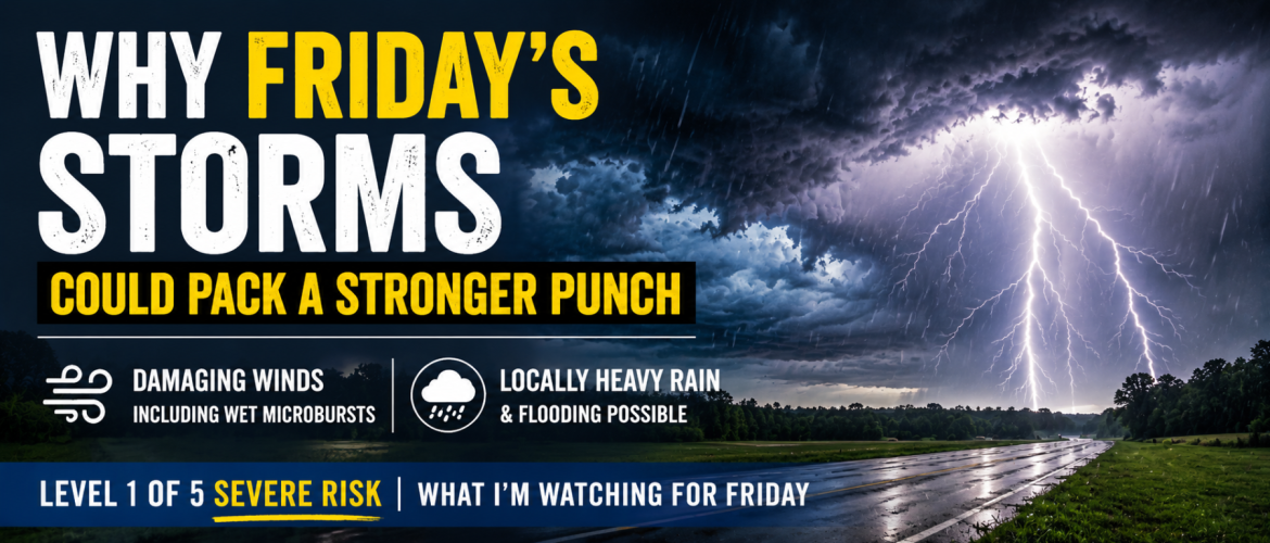
Level 1 of 5 Severe Weather Risk
The Storm Prediction Center has placed portions of the region in a Level 1 of 5, or Marginal Risk, for severe thunderstorms Friday.
A Level 1 risk is the lowest category on the five-level severe weather scale, but it shouldn't be interpreted as meaning there is no threat.
Instead, it means severe thunderstorms are expected to be isolated. Most storms may remain below severe limits, but one or two stronger storms can still cause damage where they occur.
For our area, the primary concern with the strongest thunderstorms will be damaging straight-line winds.
What Changes Friday?
Several ingredients are expected to come together Friday.
An upper-level trough will be moving across the region while smaller disturbances rotate through it. At the same time, plenty of moisture will remain available across the Piedmont.
During the afternoon, daytime heating should allow instability to increase. Forecast guidance indicates enough instability for thunderstorms to develop and strengthen once they get going.
Winds higher in the atmosphere will also be somewhat stronger than what we typically see with an ordinary summer thunderstorm setup.
The combination of moisture, instability, an approaching upper-level disturbance and somewhat better wind support is why Friday has my attention.
The setup still isn't ideal for widespread organized severe weather. Wind shear remains somewhat limited, which should keep the overall severe threat on the lower end.
But the atmosphere doesn't need to be perfect to produce an isolated damaging storm.
Damaging Winds Are the Main Concern
If a severe thunderstorm develops Friday, damaging wind gusts appear to be the primary threat.
One mechanism I'm watching is the potential for wet microbursts.
A wet microburst happens when a thunderstorm contains a large amount of rain and a powerful downdraft develops. That rain-cooled air accelerates toward the ground and then spreads outward when it reaches the surface.
The result can be a sudden burst of strong winds.
These winds can bring down tree limbs, knock over trees in some situations, damage weaker structures and send unsecured outdoor objects flying.
And importantly, a thunderstorm does not need to produce a tornado to cause wind damage.
Some of the most significant damage from summertime thunderstorms in North Carolina comes from straight-line winds and microbursts.
Heavy Rain Is Another Concern
Wind isn't the only thing I'm watching.
The atmosphere will contain plenty of moisture Friday, meaning thunderstorms will be capable of producing very heavy rainfall over short periods of time.
Atmospheric moisture values are expected to remain elevated, giving storms plenty of water to work with.
Where storms move slowly or repeatedly pass over the same location, rainfall totals can add up quickly.
That could result in localized nuisance flooding or flash flooding, particularly in poor-drainage areas, low-lying locations and places that receive repeated downpours.
This is another situation where impacts could vary significantly over short distances. One community could receive a quick downpour while another nearby location receives considerably more rain.
When Will Storms Develop?
For Rowan, Davie, Davidson and Cabarrus counties, the greatest opportunity for thunderstorms currently appears to be during the afternoon and evening Friday.
The individual county forecasts show storm chances increasing after roughly 2 PM, with some areas seeing their greatest rain chances later in the afternoon.
That doesn't mean storms will begin everywhere at 2 PM.
Thunderstorms are scattered by nature, and their exact location and timing will depend on where boundaries develop and how quickly the atmosphere destabilizes.
As we get closer to Friday afternoon, radar trends will become much more useful than trying to pinpoint individual storms many hours in advance.
What a 60% Rain Chance Means
Most of the local forecasts currently carry around a 60% chance of showers and thunderstorms Friday.
That doesn't mean it will rain for 60% of the day, and it doesn't mean thunderstorms will cover exactly 60% of a county.
It represents the probability of measurable precipitation occurring at a given location within the forecast area during that forecast period.
With Friday's setup, I'm expecting greater storm coverage than today, but there will still likely be locations that receive considerably more rain than others.
This Is Not a Widespread Severe Weather Setup
It's important to keep Friday's threat in perspective.
At this point, I'm not expecting a widespread severe weather outbreak.
The Level 1 of 5 risk reflects that.
The more likely scenario is scattered to numerous showers and thunderstorms, with most remaining below severe limits. Within that larger area of storms, however, a few could become strong enough to produce damaging winds.
Think of Friday as a day when it's worth paying closer attention to the weather rather than a day to be overly concerned.
What You Can Do Before Friday
Make sure you have a reliable way to receive weather warnings, especially if you have outdoor plans Friday afternoon or evening.
It's also a good idea to secure lightweight outdoor objects that could be blown around if a strong thunderstorm moves through.
If a Severe Thunderstorm Warning is issued for your location, move indoors and stay away from windows. Strong straight-line winds can produce damage similar to what occurs with weaker tornadoes.
And remember: when thunder roars, go indoors.
The Weekend Brings Improvement
Storm chances don't completely disappear Saturday, but the overall weather pattern should begin transitioning toward quieter conditions.
By Sunday, drier air should become more established across the Piedmont, resulting in considerably lower rain chances and more sunshine.
Then our attention turns to something entirely different.
The heat is coming back.
Temperatures begin climbing early next week, with highs potentially reaching well into the 90s Tuesday and Wednesday. Increasing humidity could make it feel even hotter, with heat index values potentially approaching 100 degrees or higher across portions of the region.
Bottom Line
Friday is the main weather day I'm watching.
Showers and thunderstorms should become more numerous during the afternoon and evening, and a few storms could become strong to severe.
The two primary concerns are:
- Damaging straight-line winds, including the potential for wet microbursts
- Locally heavy rainfall and isolated flooding
This remains a Level 1 of 5 severe weather threat, so widespread severe weather is not expected. But isolated severe thunderstorms can still cause significant problems where they occur.
I'll be watching forecast trends today and will have updated information on timing and the severe-weather potential as we get closer to Friday's storms.
Rowan County Weather & Regional Forecasts