
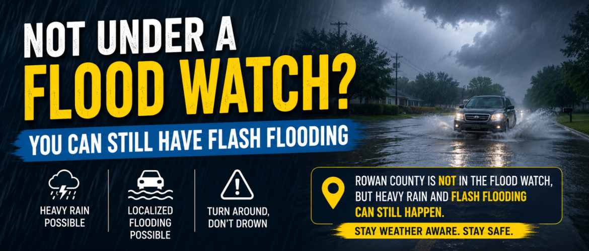
Not Under a Flood Watch? You Can Still Have Flash Flooding
As heavy rain and thunderstorms threaten parts of North Carolina today, August 21, one detail on the weather map could easily lead to a false sense of security: Rowan County is not currently included in a Flood Watch.
That does not mean Rowan County cannot experience flooding.
In fact, today's weather setup is a good example of why residents should pay attention to conditions even when their county is just outside the boundary of a watch.
What Does a Flood Watch Actually Mean?
A Flood Watch means conditions are favorable for flooding, but flooding is not yet certain or necessarily imminent. Watches are generally issued ahead of the event to give people time to prepare and monitor changing conditions.
Think of a Flood Watch as an indication that the ingredients for flooding are coming together over a particular area.
A Flash Flood Warning is much different. A warning means flash flooding is occurring or imminent and people in the warned area need to take action.
The important thing to understand is that the edge of a Flood Watch is not a wall.
Heavy rain does not stop at a county line simply because the neighboring county is shaded on the map and yours isn't.
Today's Flood Watch Stops East of Rowan County
A Flood Watch is in effect from 11 AM Friday through Saturday morning across a large portion of central North Carolina. Among the counties included are Stanly, Montgomery, Randolph, Alamance, Orange, Durham, Chatham, Wake, Johnston and others farther east and southeast.
Meanwhile, Rowan County is not currently included.
Davidson County is also outside the watch, while nearby Stanly and Randolph counties are included.
The current National Weather Service hazard information confirms the Flood Watch across much of central North Carolina, while Davidson County is being handled separately in the northwestern Piedmont.
Those boundaries reflect where forecasters currently have the greatest confidence in a more organized flooding threat. They should not be interpreted as saying flooding is impossible immediately outside the watch.
Why Rowan County Still Needs to Pay Attention
The atmosphere across the region contains a tremendous amount of moisture today.
For Rowan County, showers and thunderstorms are expected to become more widespread this afternoon and continue into tonight. Some thunderstorms could produce very heavy rainfall over a relatively short period.
That's where localized flooding becomes possible.
A thunderstorm does not necessarily have to sit over an area for hours to create problems. Extremely heavy rainfall falling faster than the ground, storm drains, ditches and small streams can handle it can quickly result in standing or flowing water.
Flash-flood potential also depends on more than simply how many inches of rain fall. Terrain, development, drainage, ground conditions and how quickly the rain falls can all influence whether flooding develops.
Location Matters — A Lot
Thunderstorm rainfall can vary tremendously over short distances.
One part of Rowan County could receive a routine downpour while another community several miles away gets hit by multiple thunderstorms and receives considerably more rainfall.
This becomes especially important when storms repeatedly travel across the same location.
Meteorologists often call this training, because thunderstorms move across the same area one after another, somewhat like train cars traveling along the same track.
If one storm produces an inch of rain, an area may handle it without significant problems.
But if another heavy thunderstorm follows shortly afterward — and then another — water can begin accumulating very quickly.
That's one way flash flooding can develop even when the overall forecast rainfall total doesn't initially appear extreme.
Why Isn't Rowan County Included in the Watch?
Flood Watch decisions aren't based simply on whether thunderstorms are expected.
Forecasters have to determine where the combination of rainfall amounts, rainfall rates, storm coverage, storm movement and existing ground conditions provides enough confidence to warrant a watch.
Today's setup contains considerable uncertainty regarding exactly where the heaviest thunderstorms will develop and where repeated rounds will occur.
That uncertainty matters.
The greatest confidence in excessive rainfall currently lies farther east and southeast, which is why the Flood Watch includes places such as Stanly, Randolph, Chatham, Wake and surrounding areas rather than Rowan County.
But the atmosphere doesn't suddenly become incapable of producing heavy rain when you cross into Rowan County.
The difference may simply be the level of confidence and expected coverage of flooding.
A Watch Can Also Change
Weather watches are not permanent boundaries established at the beginning of the day.
As thunderstorms develop and newer information becomes available, forecasters can expand, trim or otherwise adjust watches.
That means Rowan County could remain outside the Flood Watch throughout the event — or conditions could eventually warrant additional flood products.
I'll be watching that possibility closely today.
More importantly, individual Flash Flood Warnings can become necessary when radar, observations or reports indicate dangerous flooding is developing. A warning is more urgent than a watch because it means flash flooding is imminent or already occurring.
Don't Judge Your Risk Only by the Weather Map
This is the biggest takeaway from today's setup.
No Flood Watch does not mean no flood risk.
If thunderstorms begin repeatedly moving across your community, rainfall becomes exceptionally heavy, water starts covering roads or streams and creeks begin rapidly rising, respond to what is happening around you rather than assuming you're safe because your county wasn't included in the original watch.
And if a Flash Flood Warning is issued for your location, take it seriously and act quickly.
Never attempt to drive through a flooded roadway. Water can conceal a washed-out road, and determining its depth from inside a vehicle can be extremely difficult.
Turn Around, Don't Drown.
What I'm Watching in Rowan County Today
For Rowan County, my primary focus will be on thunderstorm development this afternoon and evening.
I'll be watching:
- How quickly thunderstorms develop
- Whether storms repeatedly track across the same areas
- Rainfall intensity
- How much rain individual locations receive
- Any rapid rises along creeks and streams
- Reports of flooded or impassable roads
- Whether the Flood Watch is expanded westward
- Any Flood Advisories or Flash Flood Warnings that are issued
There is also a threat for a few strong to severe thunderstorms today, with damaging wind gusts another concern.
The weather improves considerably after we get through Saturday. Drier air moves into the region Sunday, beginning a stretch of quieter weather through the first part of next week.
Until then, don't let the absence of a Flood Watch over Rowan County cause you to ignore today's heavy-rain threat.
Sometimes the most important weather conditions are not determined by where a line is drawn on a map — they're determined by what is happening over your neighborhood.
Steve Monday
Chief Forecaster
Rowan County Weather