

Severe Thunderstorm Watch Issued for Rowan County Until 8 PM Tuesday
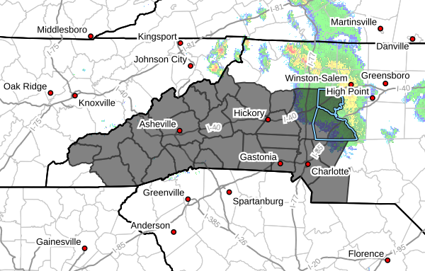
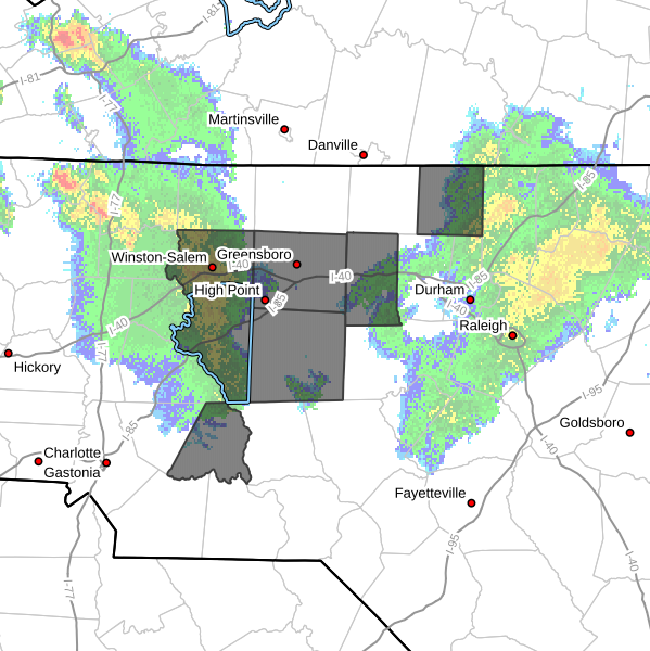
The National Weather Service has issued Severe Thunderstorm Watch #526 for Rowan County and much of central and western North Carolina. The watch remains in effect until 8:00 PM EDT Tuesday.
A Severe Thunderstorm Watch means atmospheric conditions are favorable for the development of severe thunderstorms. While not every community will experience severe weather, residents should be prepared for rapidly changing conditions this afternoon and evening.
Main Threats
Storms that develop this afternoon may produce:
- Damaging wind gusts capable of downing trees and power lines
- Large hail
- Frequent cloud-to-ground lightning
- Torrential rainfall with localized flooding
- A few tornadoes
The greatest concern remains damaging straight-line winds, although the environment will also support isolated supercells capable of producing large hail and a tornado.
Timing
For Rowan County, the highest threat for severe weather is expected between 2:00 PM and 8:00 PM as a cold front moves across the region.
Storms are expected to develop and intensify during the afternoon before moving east-southeast through the evening hours.
Be Prepared
Now is the time to make sure you have multiple ways to receive weather warnings. If a Severe Thunderstorm Warning or Tornado Warning is issued for your location, be prepared to seek shelter immediately.
If you have outdoor plans this afternoon or evening, keep a close eye on the weather and be ready to move indoors quickly if storms approach.
Rowan County Weather will continue to monitor conditions throughout the day and provide radar updates, watches, warnings, and storm information as severe weather develops.
Stay weather aware.