Tropical Weather Update: Development Chances Remain Low Off the Southeast Coast
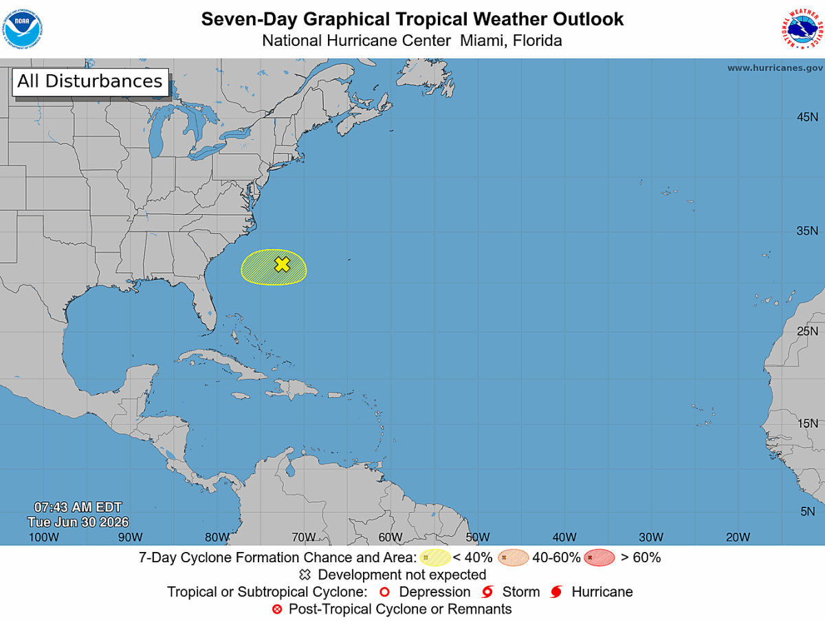
The National Hurricane Center continues to monitor a weak area of low pressure located along a stalled frontal boundary just offshore of the southeastern United States.
The good news is that development remains unlikely.
Current forecasts indicate environmental conditions are becoming less favorable for tropical development as the system drifts southward and eventually westward later this week.
Current Development Chances
- Next 48 Hours: 10% (Low)
- Next 7 Days: 10% (Low)
What This Means for the Carolinas
At this time, there are no significant impacts expected for Rowan, Davie, or Davidson Counties from this system.
The disturbance will remain well offshore and is expected to weaken as upper-level winds become less favorable for tropical organization.
While a few showers and thunderstorms will continue near the system over the Atlantic, there are no indications that it will become a tropical depression or tropical storm.
Bottom Line
This system continues to be one to watch, but there is no cause for concern across the western Carolinas. Tropical development remains unlikely, and I'll continue to monitor the National Hurricane Center's updates should anything change.
The next Tropical Weather Outlook will be issued by the National Hurricane Center later today unless conditions warrant additional updates.