Tropical Weather Update: Low Development Chances Continue Off the Southeast Coast
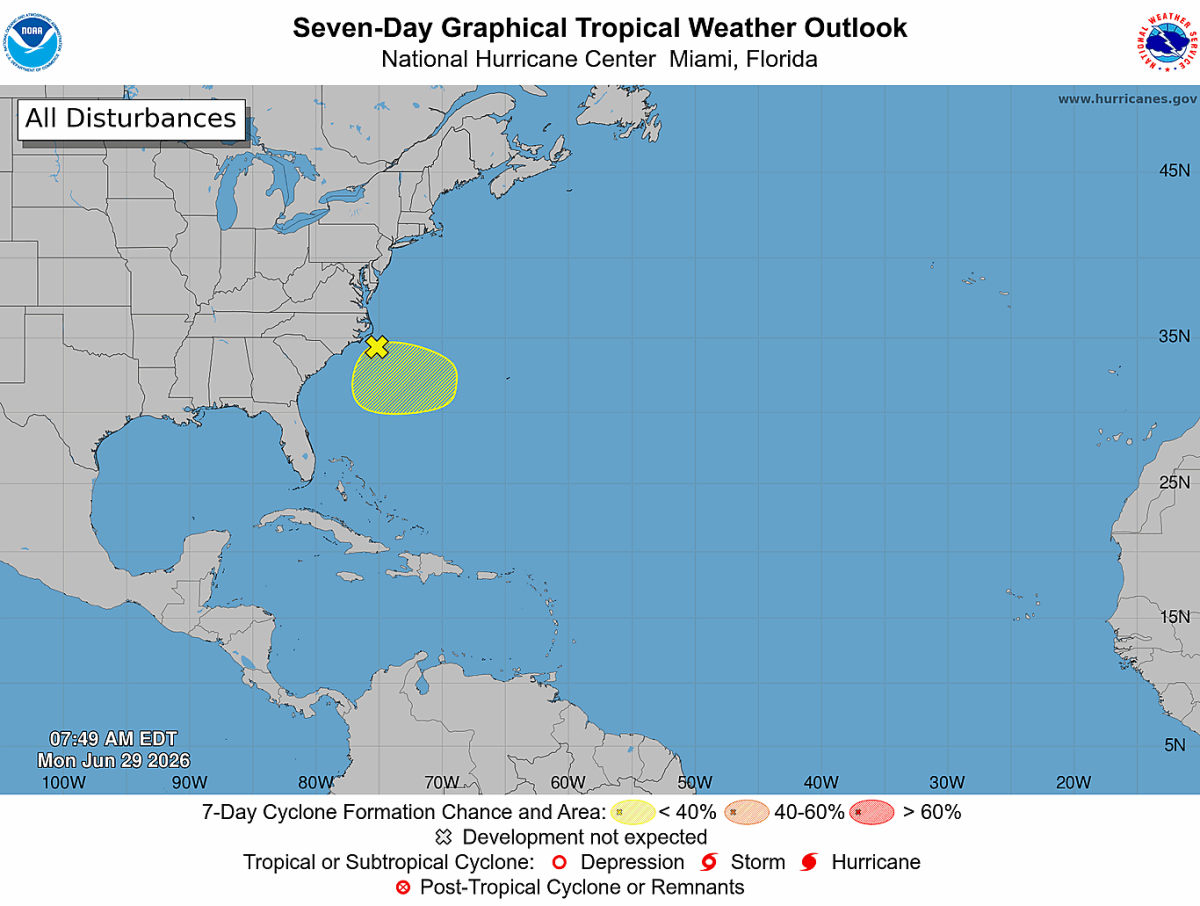
The National Hurricane Center continues to monitor an area of low pressure located just offshore of the southeastern United States.
As of the 8:00 AM Monday Tropical Weather Outlook, the system remains disorganized, with clusters of showers and thunderstorms developing along a frontal boundary offshore.
Development Chances Remain Low
The National Hurricane Center continues to give this system just a:
- 10% chance of tropical development during the next 48 hours
- 10% chance of tropical development during the next 7 days
Forecasters indicate that while environmental conditions could briefly allow for some limited organization over the next day or two, the system is expected to drift southward before turning westward. As it does, atmospheric conditions are expected to become less favorable for tropical development later this week.
What This Means for Rowan, Davie, and Davidson Counties
At this time, there are no direct impacts expected for our area from this disturbance.
The system is expected to remain offshore, and even if it were to become a tropical depression or tropical storm, current forecast trends keep any significant impacts away from central North Carolina.
I'll Continue Monitoring
While development chances remain very low, I'll continue watching this system for any changes. Tropical systems can evolve, and if the National Hurricane Center increases the development odds or forecast track changes, I'll provide updates here on Rowan County Weather.
For now, this is simply a system worth keeping an eye on—not one that should cause concern for our local area.