
Increased Fire Danger Issued for Thursday Across Central North Carolina
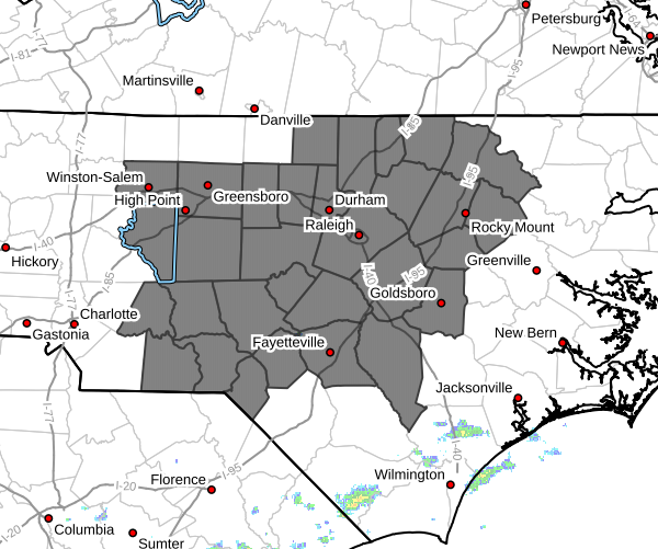
The National Weather Service has issued an Increased Fire Danger Statement for Thursday across much of central North Carolina, including Davidson County and portions of the western Piedmont.
While Rowan and Davie Counties are not included in the statement at this time, many of the same weather conditions that prompted the advisory will also be present across our area.
Why Fire Danger Is Increasing
The concern is not because of extremely low humidity, but rather a combination of several factors occurring at the same time:
• Strong southwest winds
• Ongoing drought conditions
• Dry grasses and vegetation
• Dead leaves and other dry fuels on the ground
Forecast wind gusts Thursday afternoon could reach 25 to 35 mph across much of central North Carolina. When combined with dry vegetation, any fire that starts could spread rapidly before firefighters can contain it.
The National Weather Service warns that dry grasses, leaves, and tree litter could ignite easily and allow fires to spread quickly.
What This Means for Rowan, Davie, and Davidson Counties
Davidson County
Davidson County is included in the Increased Fire Danger Statement.
Residents should avoid any outdoor burning Thursday and use extra caution with anything that could create a spark.
The combination of drought conditions and gusty winds means even a small fire could spread much faster than expected.
Rowan County
Although Rowan County is not currently included in the advisory, conditions will be very similar.
Forecast wind gusts could reach 30 mph or higher Thursday afternoon, and drought conditions continue across much of the county.
I would strongly encourage residents to avoid unnecessary outdoor burning and use caution with grills, equipment, and anything capable of producing sparks.
Davie County
Davie County also remains outside the official statement area, but many of the same concerns apply.
Dry vegetation remains widespread, and strong winds could quickly spread any fire that develops.
Residents should remain mindful of fire safety throughout the day Thursday.
Fire Safety Reminders
With gusty winds expected, now is a good time to:
Properly dispose of cigarette butts
Avoid outdoor burning if possible
Use caution when operating equipment that could create sparks
Keep vehicles off dry grass and leaves
Secure trailer chains and other metal objects that could drag and spark on roadways
Weather Conditions Thursday
Thursday will be warm, windy, and increasingly humid across the region.
High temperatures are expected to reach the lower to middle 90s, while southwest winds increase to 15 to 20 mph with gusts between 25 and 35 mph.
Showers and thunderstorms are expected to develop later in the day and continue into Thursday night. However, any rainfall that occurs late in the day will not eliminate the fire danger concerns during the afternoon hours.
My Bottom Line
The biggest weather story Thursday may not be the approaching tropical moisture—it may be the wind.
The combination of ongoing drought conditions and gusty southwest winds will create an environment where fires can start easily and spread quickly.
Davidson County is currently included in the Increased Fire Danger Statement, but residents across Rowan and Davie Counties should also use extra caution with any outdoor activities that could accidentally start a fire.
If you can postpone outdoor burning until after the rain chances arrive, that would be the safest choice.