
Increased Fire Danger This Afternoon Across Davidson County
Published: April 19, 2026 – 9:31 AM
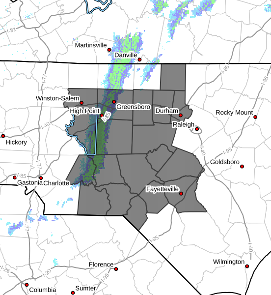
An Increased Fire Danger is in place this afternoon across Davidson County as a cold front moves through the region this morning.
While a few light showers may pass through, little to no meaningful rainfall is expected, and conditions will quickly turn much drier behind the front.
Why Fire Danger Is Increasing
Behind the cold front, a combination of very dry air and gusty winds will create conditions favorable for the rapid spread of fires.
Key factors this afternoon:
- Humidity dropping to 15–25%
- Northwest wind gusts up to 25–35 mph
- Dry vegetation due to ongoing drought conditions
These conditions will allow fuels like dry grass, leaves, and brush to ignite easily and spread quickly.
What to Expect Today
- Showers end by late morning
- Skies gradually clear
- Winds remain gusty through the afternoon
- Fire danger peaks during the afternoon and early evening
Looking Ahead to Monday
Fire weather concerns will continue and potentially worsen on Monday.
Another very dry day is expected with:
- Low humidity
- Continued gusty winds
- Increasing wildfire risk across central North Carolina
Burn Ban in Effect
A statewide burn ban remains in place across North Carolina.
Residents and visitors are strongly urged to avoid any outdoor burning.
Safety Reminder
Use extreme caution with anything that could spark a fire, including:
- Cigarettes
- Matches
- Outdoor equipment or machinery
Even a small spark could lead to a rapidly spreading fire under these conditions.
Bottom Line
- Increased fire danger this afternoon in Davidson County
- Gusty winds and very low humidity will drive conditions
- Fire risk continues into Monday
- Burn ban remains in effect statewide