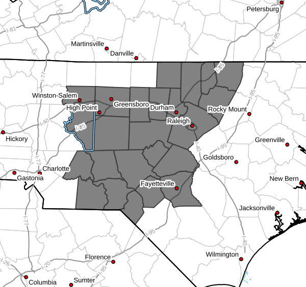
Increased Fire Danger Monday Across Davidson County
A period of increased fire danger is expected across Davidson County on Monday afternoon and evening as a cold front moves through the region.
The alert is in effect from 3 PM to 10 PM Monday, when conditions will be most favorable for fires to start and spread quickly.
Why Fire Danger Is Elevated
Several factors are coming together to create a higher risk:
- Low humidity: Dropping to around 25–30%
- Breezy winds: Gusts reaching 20 to 25 mph
- Dry fuels: Dead leaves, grass, and tree debris are easily ignitable
- Warm temperatures: Helping dry out vegetation even more
Even though this isn’t a drought situation, these conditions can allow fires to ignite quickly and spread rapidly, especially in open or wooded areas.
Timing to Watch
- Greatest concern: 3 PM – 10 PM Monday
- Winds increase behind the cold front
- Air becomes much drier through the afternoon
This combination creates the highest risk window for fire activity.
Safety Reminders
Residents are urged to take extra precautions:
- Properly dispose of cigarette butts and matches
- Avoid outdoor burning if possible
- Use caution with equipment that could create sparks
- Keep vehicles off dry grass
- Be aware that dry leaves and grass can ignite easily
Check Local Burn Restrictions
Always follow any local burn bans or restrictions that may be in place.
For more information on wildfire safety and prevention, visit the North Carolina Forestry Service or local environmental agencies.
Bottom Line
Monday afternoon brings a combination of dry air, gusty winds, and warm temperatures—a setup that increases the risk for wildfires across Davidson County.
Taking a few simple precautions can help prevent fires and keep the community safe.