
Strong Thunderstorm Moving Through Davie, Northern Rowan and Iredell Counties
A strong thunderstorm is moving across portions of the western Piedmont this morning, impacting parts of Davie, northeastern Iredell, and northwestern Rowan counties.
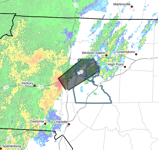
According to Doppler radar at 8:44 AM EDT, the storm was located near Statesville and moving northeast at around 55 mph.
This fast-moving storm is expected to continue tracking across portions of the region through approximately 9:30 AM.
Main Threat: Gusty Winds
The primary hazard with this storm is strong wind gusts up to 40 mph.
These winds could:
-
Knock down small tree limbs
-
Blow around unsecured outdoor objects
-
Cause brief reduced visibility in heavy rain
Areas Impacted
Communities that may be impacted include:
-
Statesville
-
Mocksville
-
Troutman
-
Bermuda Run
-
Cooleemee
-
Harmony
-
Fork Church
-
Advance
-
Turnersburg
-
Sheffield
Portions of northwestern Rowan County may also experience brief heavy rain and gusty winds as the storm moves through.
Brief Tornado Not Completely Ruled Out
Weather conditions along the storm line are favorable for the development of a very brief, weak tornado.
While the overall threat remains low, residents should remain weather aware as the storm moves through.
If a Tornado Warning is issued or a tornado is spotted, take shelter immediately in a sturdy building away from windows.
Safety Reminder
If you are outdoors as the storm approaches, consider moving indoors until the storm passes.
These fast-moving storms typically move through quickly, but they can still produce brief strong winds and heavy rain.
Rowan County Weather will continue monitoring radar and provide updates if conditions change.
Please let our local sponsors know that you appreciate their support of our blog. Take a moment to visit their website linked at the top of this post.
Share this:

Announcements & Events
Check back often for important announcements and events that I'll be involved in!