
Increased Fire Danger Tuesday Across the North Carolina Piedmont
Please take a moment to visit our local sponsors to let them know that you appreciate their support of our blog.
advertise your local business here »A period of elevated fire danger is expected across the North Carolina Piedmont on Tuesday, as a combination of very dry vegetation, low humidity, and occasional gusty winds creates conditions favorable for the rapid spread of fires.
Why Fire Danger Is Elevated
Over the past several days, breezy conditions and very low relative humidity have allowed dead brush, leaves, and other fine fuels to dry out significantly. That trend continues Tuesday as another round of dry air moves into the region.
Meteorologists expect:
-
Relative humidity to fall below 35% during the afternoon
-
Wind gusts up to 20 mph at times
-
Very dry leaf litter and brush, creating easily ignitable fuel
These ingredients combine to create an environment where any fire that starts can grow and spread quickly.
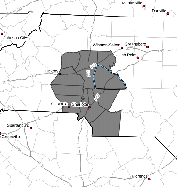
What This Means for Rowan County and Surrounding Areas
Even a small outdoor fire—such as yard debris burning, a campfire, or a spark from equipment—could spread faster than expected under these conditions. Fire crews across the state often see an uptick in wildfire activity when patterns like this develop.
Burning Restrictions and Safety
Residents should check with local burn permitting authorities to determine whether outdoor burning is allowed on Tuesday. Regulations may vary by municipality or county.
If burning is permitted:
-
Never leave a fire unattended
-
Keep water or a fire extinguisher nearby
-
Avoid burning during the windiest part of the afternoon
-
Fully extinguish all embers before leaving the area
Looking Ahead
Humidity levels are expected to gradually increase later in the week, reducing fire danger. However, until conditions improve, extra caution is strongly advised.
Rowan County Weather will continue to monitor the situation and share updates if conditions change.
Please let our local sponsors know that you appreciate their support of our blog. Take a moment to visit their website linked at the top of this post.
Share this:

Announcements & Events
Check back often for important announcements and events that I'll be involved in!