
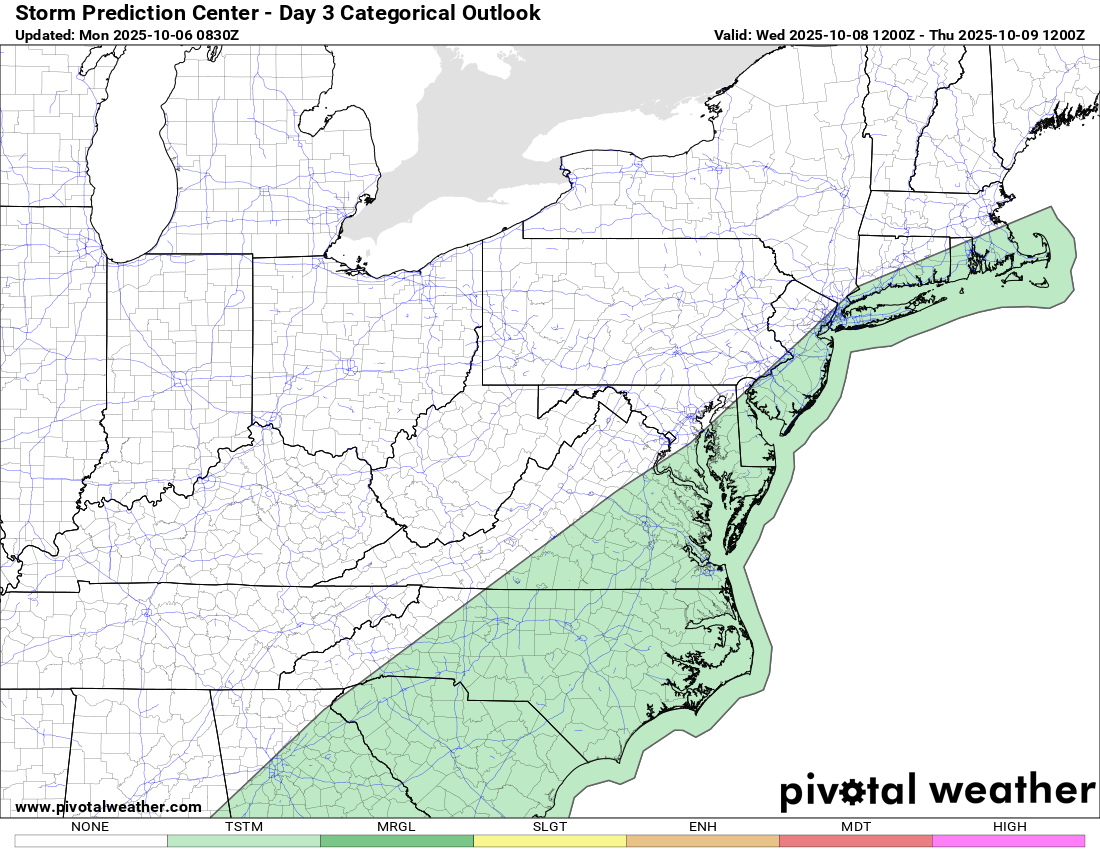
General Thunderstorm Risk on Wednesday (SPC)
Overview:
A cold front moving across the Southeast on Wednesday will bring scattered showers and a few thunderstorms to our area. The Storm Prediction Center (SPC) places Rowan County in a General Thunderstorm Risk, which means organized severe weather is not expected.
Key Messages
-
Timing: Late morning through afternoon Wednesday, tapering during the evening as the front moves east.
-
Severe Risk: Low. SPC notes poor lapse rates, weak instability, and only modest wind shear, limiting the potential for strong or severe storms.
-
Primary Impacts: Brief downpours, a few lightning strikes, and localized ponding in typical low spots.
-
Behind the Front: Noticeably cooler, drier air settles in for Thursday and Friday.
Setup at a Glance
-
Upper trough crossing the eastern U.S. Wednesday.
-
Surface cold front pushing offshore by Wednesday night.
-
High pressure builds in from the west Thursday, bringing fair weather.
What To Do
-
Have an umbrella or light rain jacket handy for midday/afternoon errands.
-
If thunder roars, go indoors—lightning can accompany even ordinary showers.
-
Outdoor practices and events may see brief delays; plan for a quick shelter option.
We’ll update if any trends change Wednesday morning, but current guidance supports a routine frontal passage with limited thunder and a pleasant fall finish to the week.
Please let our local sponsors know that you appreciate their support of our blog. Take a moment to visit their website linked at the top of this post.
Share this:

Announcements & Events
Check back often for important announcements and events that I'll be involved in!