
SPC Update: General Thunderstorm Risk Along and West of I-85 Today
What’s new:
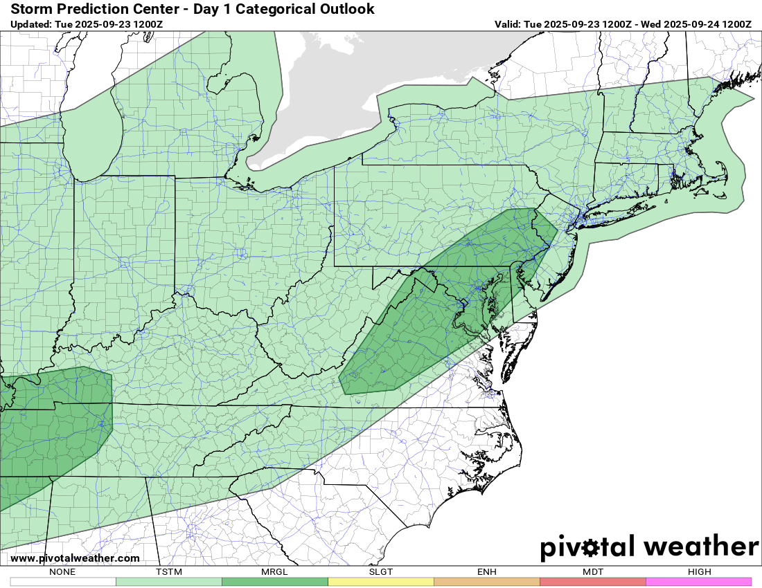
The Storm Prediction Center has outlined a general thunderstorm risk for Rowan County areas along and west of I-85 today. This is the lowest tier on the outlook scale and signals the potential for a few isolated showers or rumbles of thunder, mainly during the afternoon and early evening.
Timing
-
Primary window: 2 PM – 8 PM
-
Best coverage: western side of the county and into the foothills
Threats and impacts
-
Lightning and brief downpours in any storm
-
Gusty, variable winds near cells
-
No widespread severe weather expected
Temperatures and wind
-
Highs in the mid to upper 80s
-
Light southwest breeze becoming a bit more noticeable late day
Looking ahead
Shower and storm chances trend upward late Thursday into Friday as a cold front approaches, followed by a cooler, drier weekend.
What to do
-
If thunder roars, move indoors until 30 minutes after the last rumble.
-
Have a way to receive updates for any pop-up cells this afternoon.
Map credit: SPC Day 1 Categorical Outlook (pivotalweather)
Please let our local sponsors know that you appreciate their support of our blog. Take a moment to visit their website linked at the top of this post.
Share this:

Announcements & Events
Check back often for important announcements and events that I'll be involved in!