Severe Weather possible late Tuesday and early Wednesday.
We have a potential for severe weather along the east coast and the county late Tuesday into early Wednesday. Here is what we know so far. A cold front associated with the low will sweep across the Mid-Mississippi and Lower Ohio Valley through the day Tuesday, and the Lower Mississippi/Tennessee/Upper Ohio Valleys overnight, crossing central/southern Appalachian Crest late. Meanwhile, a warm sector should expand as far north and east as central and northeast Indiana/northern Ohio/western Pennsylvania, though limited in northward progress to West Virginia/northern Virginia/Maryland by persistent/slow-to-retreat cold-air damming over the Northeast. ...Ohio and Tennessee Valleys... Widespread thunderstorms -- including some degree of all-hazards severe risk -- will likely be spreading rapidly eastward across the Ohio Valley area at the start of the period. This convection should reach the central Appalachians by late morning/midday, but -- though potentially having some impact on destabilization potential across the moderate and enhanced risk areas -- should largely shift far enough east to allow warm-sector destabilization to commence. As the surface low deepens and crosses Illinois and eventually moves into Indiana, and the cold front advances across the Mid-Mississippi and Lower Ohio Valleys, storm redevelopment is expected to occur during the afternoon. While evolution/storm mode remains somewhat difficult to discern -- in part due to earlier storms -- some mix of cellular and cluster/linear mode is expected to evolve. Given the ample destabilization expected in combination with very strong/veering deep-layer flow, all-hazards severe potential is evident, including very large hail, strong/damaging winds, and several significant tornadoes. The greatest risk, which will include potential for a couple of intense/long-track tornadoes, should begin across Indiana, and the spread across Ohio through the afternoon and evening, potentially reaching as far east as western portions of West Virginia and far western Pennsylvania into the evening. Eastward advance of the risk into central Pennsylvania will likely remain limited, but otherwise threat may spread into western portions of Virginia and the Carolinas late. ...Florida/Georgia/southeastern Alabama and perhaps into the western Carolinas... Thunderstorm development is expected to increase late in the period from the Florida Panhandle northeastward, ahead of the advancing cold front. With indications of potentially cellular mode with this convection, concerns for a very late-period increase in tornado potential exist, given background shear profiles supportive of updraft rotation. While somewhat uncertain at this point, have expanded 5% tornado probability substantially eastward/southeastward to include this potential.
- A few severe thunderstorms cannot be ruled out as a cold front will move through the area Tuesday night.
- The primary window for any severe storms is expected to be between 9 pm - 7 am Tuesday night into Wednesday morning.
TIMING
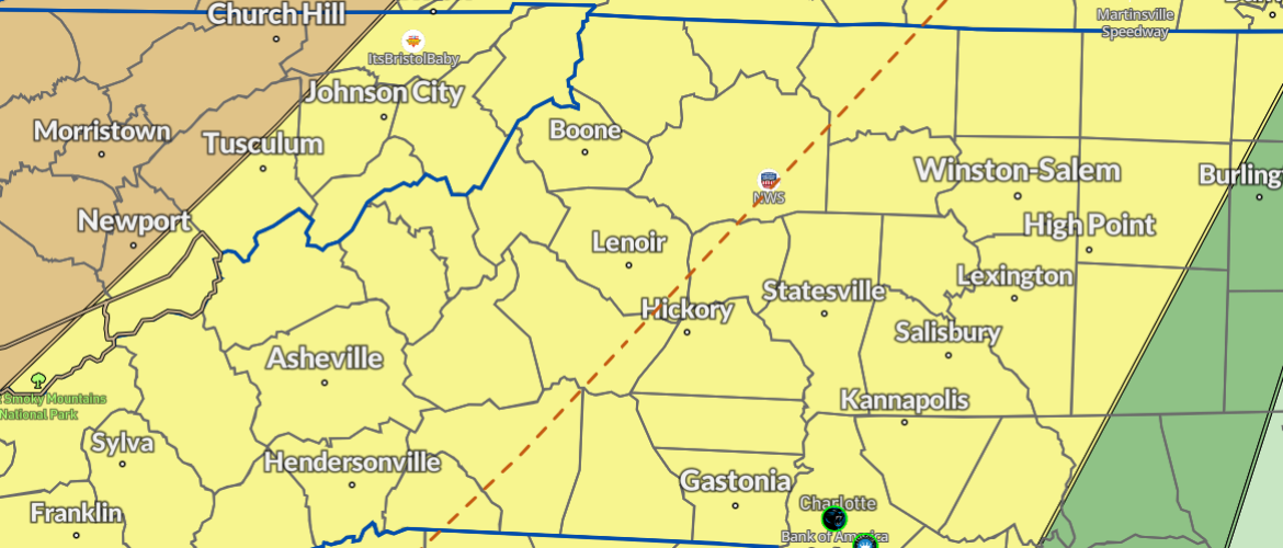
▪ A band of thunderstorms moving across east Tennessee will approach the mountains around 9 pm Tuesday night.
▪ The band of storms will move through the mountains during the late evening and across the Foothills/Piedmont overnight into early Wednesday morning.
HAZARDS & IMPACTS
▪ The primary threat will be for brief locally damaging winds that could uproot trees and blown down power lines.
▪ An isolated tornado cannot be ruled out.
▪ Very Isolated hail up to quarter size could cause minor damage to vehicles and roofs.
FORECAST CHALLENGES
▪ Forecast confidence is low as to how the band of storms evolves as it moves into/across the mountains.
▪ Reasonable worst-case scenario would be for sufficient severe weather ingredients persisting overnight to maintain a threat for a few severe thunderstorms across the area.
▪ Reasonable best-case scenario would be for a weakening trend as storms move into the mountains with a very limited/isolated severe weather threat through the overnight hours.
POST-EVENT OUTLOOK
▪ A much drier and colder airmass will move into the area behind the cold front with gusty winds through Thursday.
▪ A period of snow showers will be possible in the high elevation mountains along the Tennessee border with light accumulations possible as well.
Rowan County Weather will continue to provide updates throughout the day Tuesday and into the evening hours as the line of storms approaches the area.