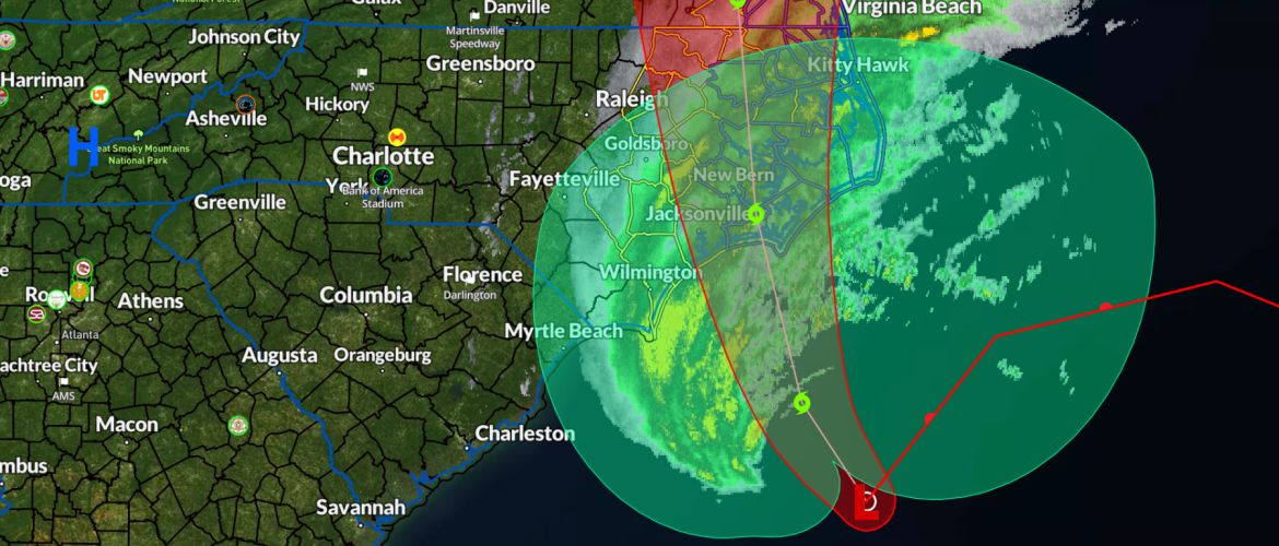
Tropical Storm Ophelia has formed
Tropical Storm Ophelia has formed off the South Carolina coast and is moving toward making landfall along the North Carolina coast. Tropical storm conditions are expected along the southeastern and Mid-Atlantic coast within the Tropical Storm Warning area today and into Saturday night.
There is a danger of life-threatening storm surge inundation along portions of eastern North Carolina and southeastern Virgina, including Pamlico and Albermarle Sounds, the Neuse and Pamlico Rivers, the lower James River, and the lower Chesapeake Bay, where Storm Surge Warnings are in place. Residents in these areas should follow advise given by local officials.
Heavy rainfall from this system could produce flash, urban, and small stream flooding impacts across portions of the Mid-Atlantic states from North Carolina to New Jersey through Sunday.
Swells generate by this system will affect much of the U.S. east coast through the weekend, likely causing life-threatening surf and rip currents.
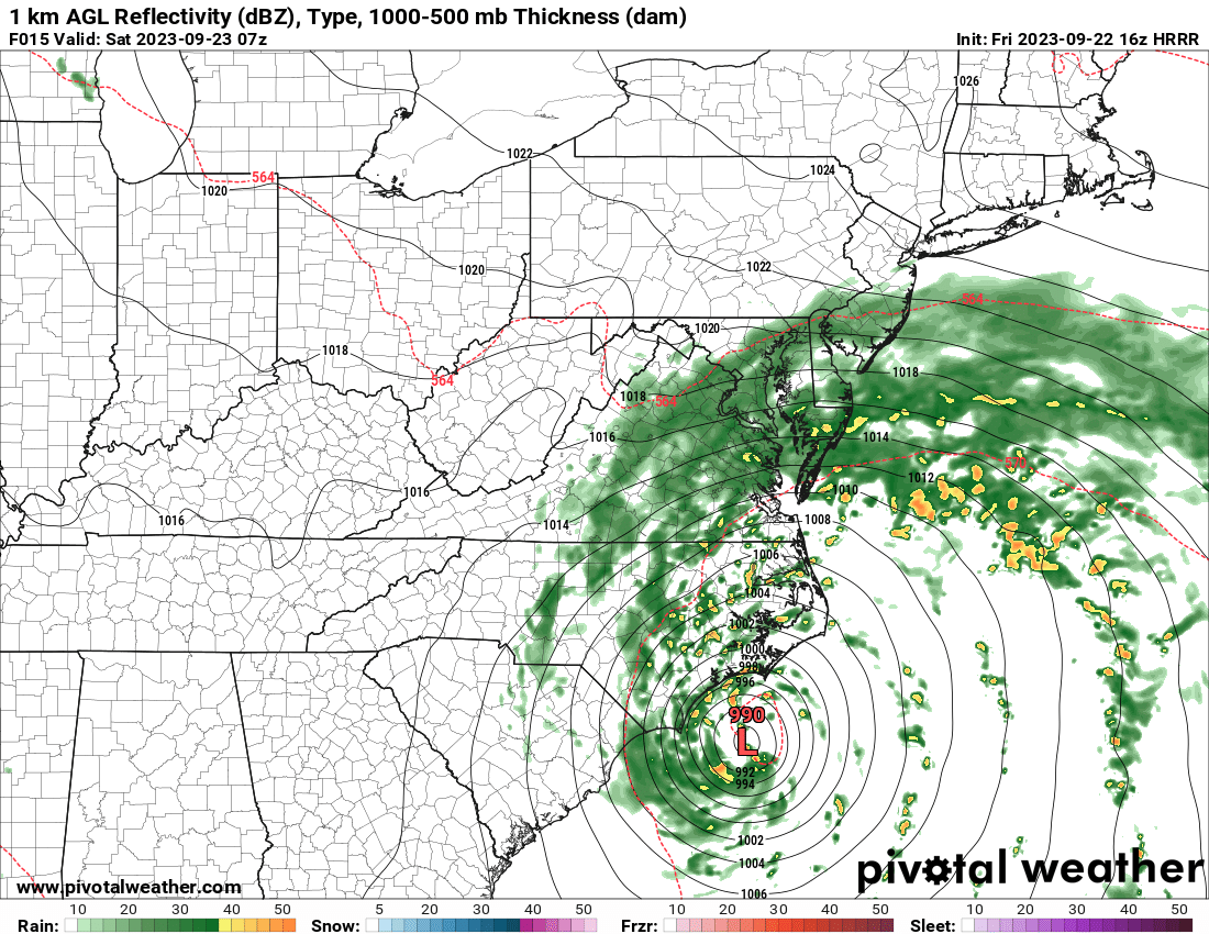
Locally our best chances for rain to start here in the county occur during the overnight hours into the day on Saturday. Rain will occur off and on as we will deal more with breezy conditions and cooler temperatures form this system with the northeast flow of air moving through the county and the area this weekend.
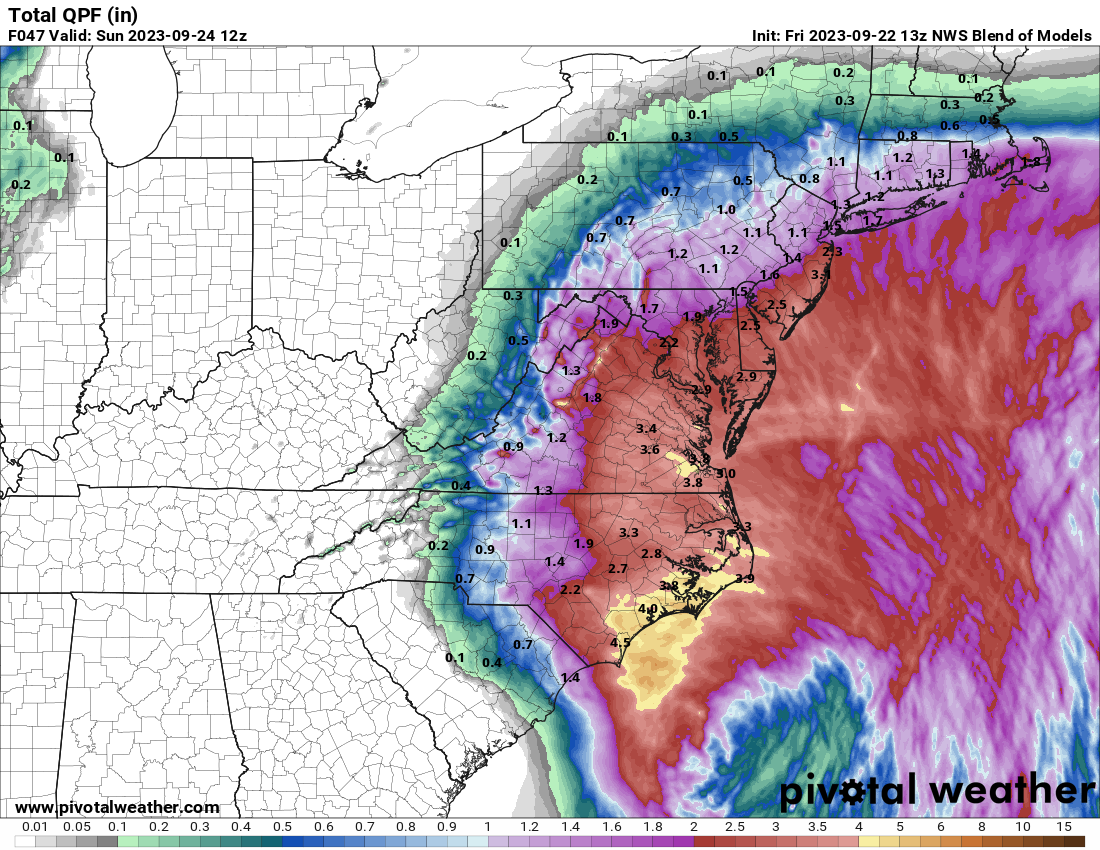
Portions of the county could see up to an inch of rainfall with the higher amounts likely occurring in the eastern portions of the county. Continue to stay with Rowan County Weather for updates on this developing weather situation.