
A rainy week ahead
If you are like me. You are not a fan of the 90º weather we've been experiencing over the past few days. The good news is we are about 30 hours away from a cool down. The bad news is that cool down is going to bring a huge amount of rainfall with it over the next seven days. We will get into the totals and when the first rain drops will arrive shortly. First I wanted to explain how we are going to get there.
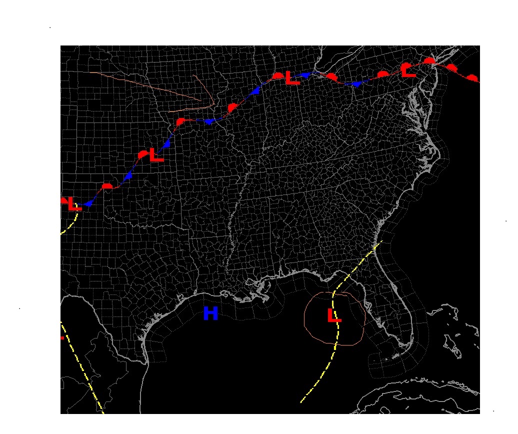
The image above is model data that is showing the location of a low pressure system I have circled in the Gulf just off the Florida coast. That low is going to pull in moisture off the Gulf and the Atlantic and start to funnel it into the county starting Tuesday afternoon. Combine that with the Cold Front that I have an arrow pointing to that will be dropping to the south as we move through the week. These two areas will work together as the low pulls in the moisture while the front makes the atmosphere unstable bringing the possibilty of thunderstorms later in the week.
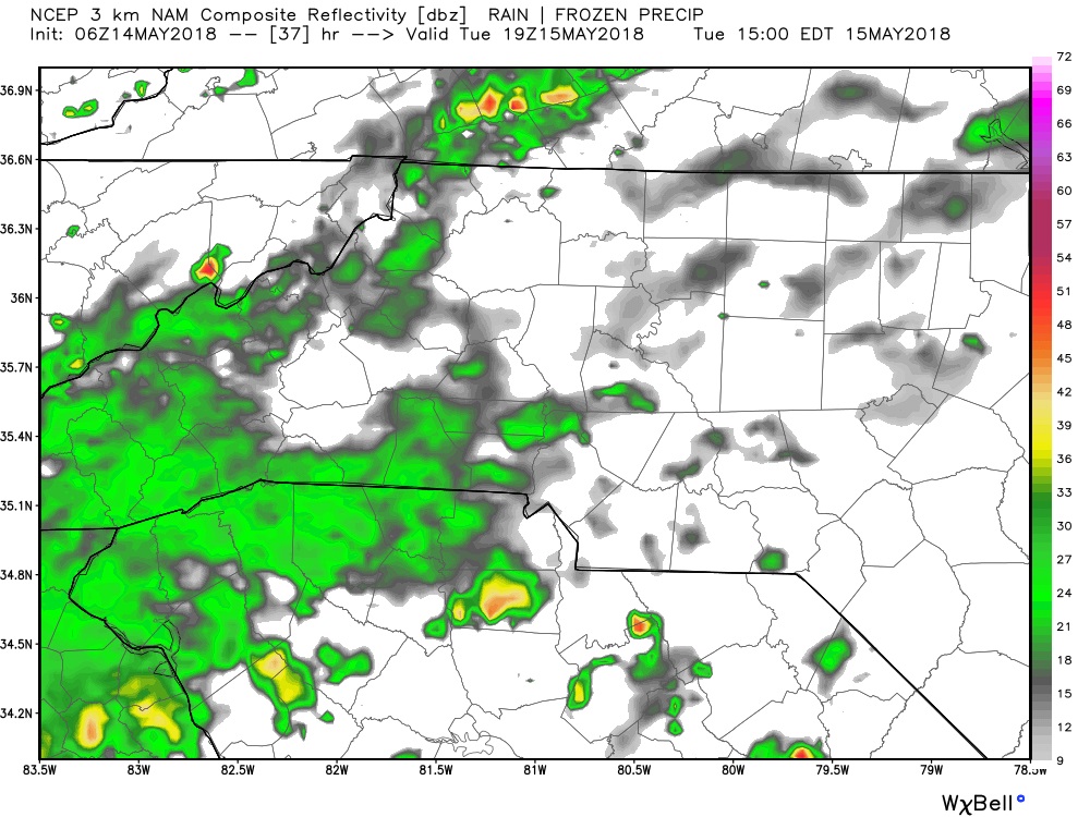
We will see some isolated rain showers start to move into the county between 2 & 3pm Tuesday afternoon. From that point on we will be dealing with rain throughout the remainder of the week. The pattern could have an impact on the Cheerwine Festival coming up on Saturday in Salisbury.

We are looking at around 2 -2.5 inches of rainfall around the county over the next 7 days. I will of course keep an eye on the models and the radar as we move through the week. Please keep an eye out for updates right here on the website as well as on my social media outlets. As always thank you for following Rowan County Weather!
Please let our local sponsors know that you appreciate their support of our blog. Take a moment to visit their website linked at the top of this post.
Share this:

Announcements & Events
Check back often for important announcements and events that I'll be involved in!