
Our first dose of winter
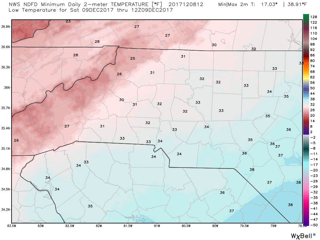
We have made it to Friday. The talk for the week has been will we get snow and if so how much. As we have progressed through the week I have brought accumulation totals up. You have to keep in mind. The roads will stay wet so this will only be accumulations on grassy surfaces. The temperatures will continue to drop as we move through the day. Currently we are at 40º temperatures will drop down to around 32º as we move through the day and evening.
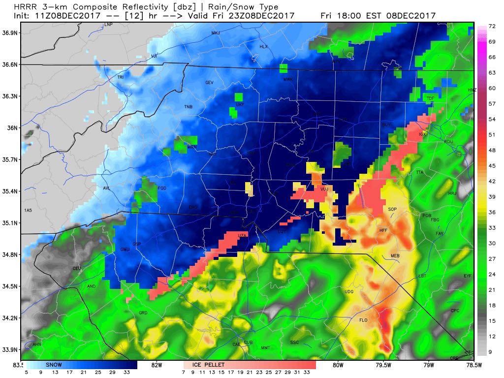
We will see rain for the most part as we move through the morning and early afternoon. Around 3 - 4pm we will start to see snow mix in. We could see periods of all snow starting around 6pm.
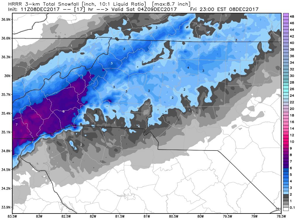
The air temperature around 6pm looks to be around 34º so again roads will remain wet as the snow will melt on impact with the roadways being above freezing. Accumulations will be on grassy surfaces. Accumulations of a trace to around 2 inches around the county. Most of the accumulations will be in the northwest portion of the county.
I will continue to post updates throughout the day and evening right here and on social media. As always thank you for following Rowan County Weather!